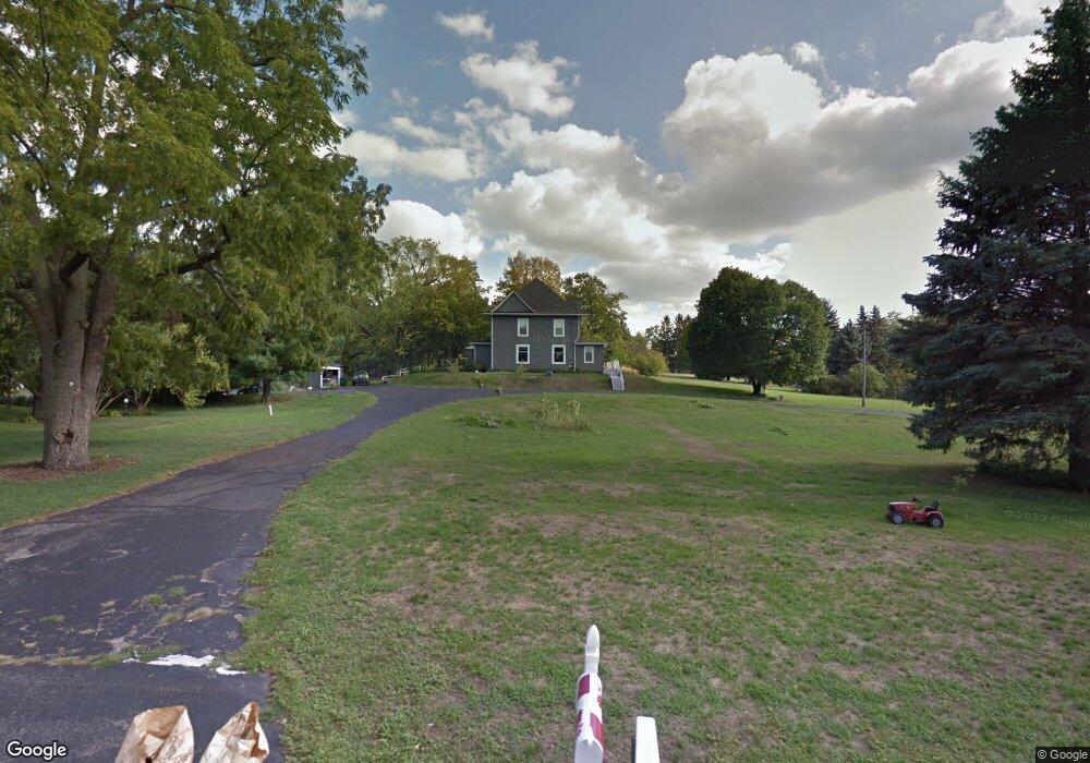
10381 Main St Roscoe, IL 61073
Estimated Value: $303,797 - $377,000
5
Beds
3
Baths
2,200
Sq Ft
$151/Sq Ft
Est. Value
About This Home
This home is located at 10381 Main St, Roscoe, IL 61073 and is currently estimated at $333,199, approximately $151 per square foot. 10381 Main St is a home located in Winnebago County with nearby schools including Ledgewood Elementary School, Kinnikinnick School, and Stone Creek School.
Ownership History
Date
Name
Owned For
Owner Type
Purchase Details
Closed on
Aug 12, 2010
Sold by
Clisham Patrick A and Clisham Zoe K
Bought by
Ibisevic Safet R
Current Estimated Value
Home Financials for this Owner
Home Financials are based on the most recent Mortgage that was taken out on this home.
Original Mortgage
$132,000
Interest Rate
3.5%
Mortgage Type
New Conventional
Create a Home Valuation Report for This Property
The Home Valuation Report is an in-depth analysis detailing your home's value as well as a comparison with similar homes in the area
Home Values in the Area
Average Home Value in this Area
Purchase History
| Date | Buyer | Sale Price | Title Company |
|---|---|---|---|
| Ibisevic Safet R | $165,000 | Title Underwriters Agency | |
| Ibisevic Safet | $165,000 | -- |
Source: Public Records
Mortgage History
| Date | Status | Borrower | Loan Amount |
|---|---|---|---|
| Previous Owner | Ibisevic Safet R | $132,000 | |
| Closed | Ibisevic Safet R | $132,000 |
Source: Public Records
Tax History
| Year | Tax Paid | Tax Assessment Tax Assessment Total Assessment is a certain percentage of the fair market value that is determined by local assessors to be the total taxable value of land and additions on the property. | Land | Improvement |
|---|---|---|---|---|
| 2024 | $7,585 | $91,184 | $15,417 | $75,767 |
| 2023 | $7,065 | $81,831 | $13,836 | $67,995 |
| 2022 | $6,733 | $74,806 | $12,648 | $62,158 |
| 2021 | $6,431 | $70,274 | $11,882 | $58,392 |
| 2020 | $6,309 | $67,721 | $11,450 | $56,271 |
| 2019 | $6,135 | $64,687 | $10,937 | $53,750 |
| 2018 | $5,781 | $62,157 | $10,509 | $51,648 |
| 2017 | $5,943 | $59,951 | $10,136 | $49,815 |
| 2016 | $5,707 | $58,989 | $9,973 | $49,016 |
| 2015 | $5,469 | $57,304 | $9,688 | $47,616 |
| 2014 | $5,062 | $56,580 | $9,566 | $47,014 |
Source: Public Records
Map
Nearby Homes
- 0000 Joncey Dr
- 6395 Greystone
- 5652 Karakul Terrace
- 10458 Main St
- 11578 Edgemere Terrace
- 10662 Chicory Ridge Way
- 5683 Oak Village Dr Unit 5683
- 410 Pine White #102-B Rd
- 10138 Monarch Rd
- 10138 Monarch Rd Unit 4
- 10853 Lemon Grass Ln
- 9.41 Acres Bluestem Rd
- 5488 Mahogany Ln
- 11062 Chicory Ridge Way
- 4361 Pfister Ln
- 5383 Mahogany Ln
- 5343 Mahogany Ln
- 5476 Ebonywood Ln
- 5421 Ebonywood Ln
- 11818 Balsa Ln
Your Personal Tour Guide
Ask me questions while you tour the home.