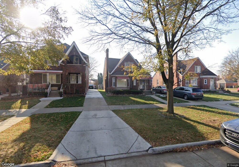
10383 S Morrow Cir Dearborn, MI 48126
Aviation NeighborhoodEstimated Value: $246,000 - $375,000
4
Beds
3
Baths
1,700
Sq Ft
$182/Sq Ft
Est. Value
About This Home
This home is located at 10383 S Morrow Cir, Dearborn, MI 48126 and is currently estimated at $309,394, approximately $181 per square foot. 10383 S Morrow Cir is a home located in Wayne County with nearby schools including McDonald Elementary School, McCollough-Unis School, and Fordson High School.
Ownership History
Date
Name
Owned For
Owner Type
Purchase Details
Closed on
Nov 11, 2014
Sold by
Al Khafaji Zainab Ali
Bought by
Al Khafaji Amir
Current Estimated Value
Purchase Details
Closed on
May 24, 2011
Sold by
Naser Aws M
Bought by
Al Khafaji Zainab Ali
Purchase Details
Closed on
Aug 6, 2009
Sold by
Fifth Third Mortgage Company
Bought by
Federal National Mortgage Association
Purchase Details
Closed on
Sep 7, 2007
Sold by
Mallah Mustapha and Mallah Amanda
Bought by
El Mallah Nabila
Create a Home Valuation Report for This Property
The Home Valuation Report is an in-depth analysis detailing your home's value as well as a comparison with similar homes in the area
Home Values in the Area
Average Home Value in this Area
Purchase History
| Date | Buyer | Sale Price | Title Company |
|---|---|---|---|
| Al Khafaji Amir | -- | None Available | |
| Al Khafaji Zainab Ali | -- | None Available | |
| Federal National Mortgage Association | -- | None Available | |
| Fifth Third Mortgage Company | $162,604 | None Available | |
| El Mallah Nabila | $195,000 | Source One Title Agency Inc |
Source: Public Records
Tax History Compared to Growth
Tax History
| Year | Tax Paid | Tax Assessment Tax Assessment Total Assessment is a certain percentage of the fair market value that is determined by local assessors to be the total taxable value of land and additions on the property. | Land | Improvement |
|---|---|---|---|---|
| 2025 | $3,014 | $129,700 | $0 | $0 |
| 2024 | $3,014 | $115,900 | $0 | $0 |
| 2023 | $2,681 | $108,900 | $0 | $0 |
| 2022 | $3,086 | $88,500 | $0 | $0 |
| 2021 | $3,162 | $83,200 | $0 | $0 |
| 2019 | $3,119 | $74,200 | $0 | $0 |
| 2018 | $2,709 | $70,100 | $0 | $0 |
| 2017 | $637 | $61,600 | $0 | $0 |
| 2011 | -- | $43,050 | $0 | $0 |
Source: Public Records
Map
Nearby Homes
- 7312 Theisen St
- 7361 Pinehurst St
- 7653 Pinehurst St
- 7642 Normile St
- 7900 Middlepointe St
- 12800 S Morrow Cir
- 8511 Lonyo St
- 7741 Miller Rd
- 10339 Tireman Ave
- 7925 Pinehurst St
- 7841 Wyoming St
- 7651 Appoline St
- 7929 Normile St
- 10132 Tireman St
- 8043 E Morrow Cir
- 7870 Oakman Blvd
- 8100 Middlepoint St
- 7857 Esper Blvd
- 6840 Oakman Blvd
- 8061 Wyoming St
- 10375 S Morrow Cir
- 10395 S Morrow Cir
- 10365 S Morrow Cir
- 7334 Middlepointe St
- 7330 Middlepointe St
- 7335 Kingsley St
- 7355 Kingsley St
- 10356 S Morrow Cir
- 7329 Kingsley St
- 7320 Middlepointe St
- 10427 S Morrow Cir
- 7405 Kendal St
- 7323 Kingsley St
- 7312 Middlepointe St
- 10376 S Morrow Cir
- 10390 S Morrow Cir
- 7337 Middlepointe St
- 10360 S Morrow Cir
- 10437 S Morrow Cir
- 7311 Kingsley St