10385 Pritchard Rd Hinckley, IL 60520
Estimated Value: $521,000
--
Bed
--
Bath
--
Sq Ft
160
Acres
About This Home
This home is located at 10385 Pritchard Rd, Hinckley, IL 60520 and is currently estimated at $521,000. 10385 Pritchard Rd is a home located in DeKalb County with nearby schools including Hinckley-Big Rock Elementary School and Hinckley-Big Rock High School.
Ownership History
Date
Name
Owned For
Owner Type
Purchase Details
Closed on
Oct 31, 2022
Sold by
Stanley G Wilson G and Stanley Nan R
Bought by
Constance R Wilson Living Trust
Current Estimated Value
Purchase Details
Closed on
Oct 8, 2019
Sold by
Koerner Nan Rae Roper and Roper Richard E
Bought by
Roper Richard Evan and Roper Richard Evan
Purchase Details
Closed on
May 11, 2012
Sold by
Evans Jack E
Bought by
Evans Trust
Purchase Details
Closed on
Dec 17, 2005
Sold by
Evans Trust
Bought by
Evans Trust
Create a Home Valuation Report for This Property
The Home Valuation Report is an in-depth analysis detailing your home's value as well as a comparison with similar homes in the area
Home Values in the Area
Average Home Value in this Area
Purchase History
| Date | Buyer | Sale Price | Title Company |
|---|---|---|---|
| Constance R Wilson Living Trust | -- | -- | |
| Roper Richard Evan | -- | None Available | |
| Koerner Nan R | -- | Attorney | |
| Evans Trust | -- | -- | |
| Evans Jack E | -- | -- | |
| Evans Jack E | -- | -- | |
| Evans Jack E | -- | -- | |
| Evans Trust | -- | -- | |
| Evans Trust | -- | -- | |
| Evans Trust | -- | -- | |
| Evans Trust | -- | -- |
Source: Public Records
Tax History Compared to Growth
Tax History
| Year | Tax Paid | Tax Assessment Tax Assessment Total Assessment is a certain percentage of the fair market value that is determined by local assessors to be the total taxable value of land and additions on the property. | Land | Improvement |
|---|---|---|---|---|
| 2024 | $12,326 | $173,690 | $132,204 | $41,486 |
| 2023 | $12,326 | $161,168 | $123,332 | $37,836 |
| 2022 | $11,500 | $149,457 | $115,160 | $34,297 |
| 2021 | $11,821 | $141,464 | $108,602 | $32,862 |
| 2020 | $11,418 | $133,978 | $102,567 | $31,411 |
| 2019 | $10,994 | $128,360 | $97,470 | $30,890 |
| 2018 | $11,019 | $122,201 | $92,492 | $29,709 |
| 2017 | $10,676 | $115,622 | $87,645 | $27,977 |
| 2016 | $10,464 | $109,300 | $83,127 | $26,173 |
| 2015 | -- | $103,243 | $78,917 | $24,326 |
| 2014 | -- | $100,551 | $76,476 | $24,075 |
| 2013 | -- | $96,062 | $71,844 | $24,218 |
Source: Public Records
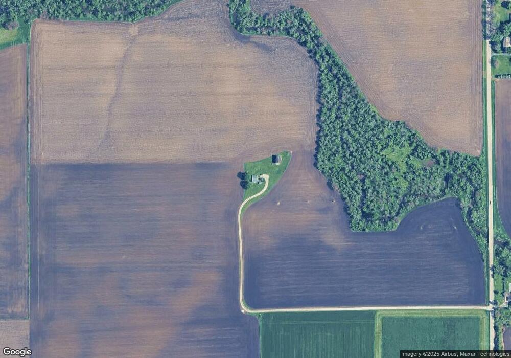
Map
Nearby Homes
- 10266 Pritchard Rd
- 640 Coster Ct
- 670 Rustic Way
- 17751 Scott Rd
- 631 Rustic Way
- 320 Harvest Ave
- 230 Christensen St
- 527 Prairie St
- 210 Christensen St
- 621 N Oak St
- 170 Christensen St
- 150 Christensen St
- 520 N Oak St
- 541 N Oak St
- Starling Plan at Royal Estates
- Wren Plan at Royal Estates
- Meadowlark Plan at Royal Estates
- Brighton Plan at Royal Estates
- Siena II Plan at Royal Estates
- Townsend Plan at Royal Estates
- 10544 Pritchard Rd
- 10572 Pritchard Rd
- 10676 Pritchard Rd
- 9965 Pritchard Rd
- 10726 Pritchard Rd
- 10757 Pritchard Rd
- 10778 Pritchard Rd
- 17396 Scott Rd
- 17535 Scott Rd
- 660 Rees St
- 17522 Scott Rd
- 650 Rees St
- 661 Rees St
- 640 Rees St
- 651 Rees St
- 9748 Pritchard Rd
- 630 Rees St
- 641 Rees St
- 631 Rees St
- 610 Rees St