Estimated Value: $595,458 - $738,000
3
Beds
2
Baths
2,198
Sq Ft
$310/Sq Ft
Est. Value
About This Home
This home is located at 10386 Airpark Loop Rd, Melba, ID 83641 and is currently estimated at $681,365, approximately $309 per square foot. 10386 Airpark Loop Rd is a home located in Owyhee County with nearby schools including Marsing Elementary School, Marsing Middle School, and Marsing High School.
Ownership History
Date
Name
Owned For
Owner Type
Purchase Details
Closed on
Jul 1, 2020
Sold by
Owens Douglas P and Douglas P Owens Revcoable Trus
Bought by
Dickman Edward A and The Ed Dickman Family Trust
Current Estimated Value
Home Financials for this Owner
Home Financials are based on the most recent Mortgage that was taken out on this home.
Original Mortgage
$377,612
Outstanding Balance
$335,463
Interest Rate
3.2%
Mortgage Type
VA
Estimated Equity
$345,902
Purchase Details
Closed on
Oct 25, 2011
Sold by
Owens Douglas P
Bought by
Douglas P Owens Revocable Trust
Create a Home Valuation Report for This Property
The Home Valuation Report is an in-depth analysis detailing your home's value as well as a comparison with similar homes in the area
Home Values in the Area
Average Home Value in this Area
Purchase History
| Date | Buyer | Sale Price | Title Company |
|---|---|---|---|
| Dickman Edward A | -- | Pioneer Title Company Owyhee | |
| Douglas P Owens Revocable Trust | -- | -- |
Source: Public Records
Mortgage History
| Date | Status | Borrower | Loan Amount |
|---|---|---|---|
| Open | Dickman Edward A | $377,612 |
Source: Public Records
Tax History Compared to Growth
Tax History
| Year | Tax Paid | Tax Assessment Tax Assessment Total Assessment is a certain percentage of the fair market value that is determined by local assessors to be the total taxable value of land and additions on the property. | Land | Improvement |
|---|---|---|---|---|
| 2024 | -- | $535,810 | $125,400 | $410,410 |
| 2023 | $1,963 | $501,067 | $89,857 | $411,210 |
| 2022 | $2,305 | $503,477 | $89,857 | $413,620 |
| 2021 | $1,968 | $374,827 | $89,857 | $284,970 |
| 2020 | $1,521 | $290,132 | $58,734 | $231,398 |
| 2019 | $1,876 | $290,132 | $58,734 | $231,398 |
| 2018 | $1,905 | $272,236 | $48,945 | $223,291 |
| 2017 | $1,811 | $270,396 | $47,105 | $223,291 |
| 2016 | $1,842 | $263,835 | $47,105 | $216,730 |
| 2014 | $1,271 | $237,553 | $41,907 | $195,646 |
| 2011 | -- | $209,497 | $33,525 | $175,972 |
Source: Public Records
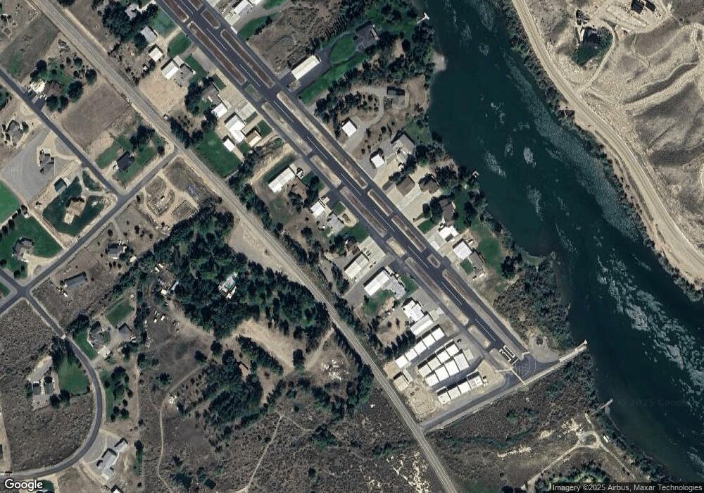
Map
Nearby Homes
- 10461 Idaho 78
- 7969 Sommer Camp Rd
- TBD Blue Fox Ln
- 6279 Rim Rd
- 0 Sage View Ln Parcel 4
- 0 Sage View Ln Parcel 2
- 12681 Trail Drive Rd
- 10021 Rocky Top
- TBD Island View Dr - Lot 1
- TBD Island View Dr - Lot 2
- 8141 Idaho 78
- 0 Ed Ln
- TBD Mountain Hawk Rd
- 16754 Deer Flat Rd
- 9002 Deer Flat
- 000 Farner Rd
- 9067 Crystal Quartz Dr
- 12597 Deer Ridge Trail
- 12635 Deer Ridge Trail
- 9271 Crystal Quartz Dr
- 10368 Airpark Loop
- 10364 Airpark Loop
- 10364 Airpark Loop
- 10300 Airpark Loop
- 10286 Airpark Loop
- 10268 Airpark Loop
- 10268 Airpark Loop
- 10250 Airpark Loop
- 10452 Airpark Loop
- L5 B6 Sunrise Sky Park
- L5 B1 Sunrise Sky Park
- TBD Sunrise Sky Park
- 9193 Poplar Dr
- 10158 Locust Ln
- 10228 Airpark Loop
- 8988 Poplar Dr
- 10468 Airpark Loop
- 9165 Poplar Dr
- 9119 Poplar Dr
- 10159 Locust Ln