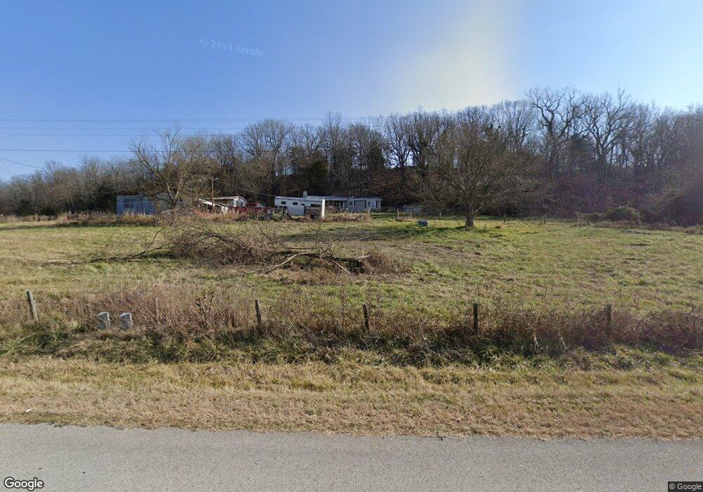
10386 S Whitehouse Rd Fayetteville, AR 72701
Estimated Value: $179,268 - $380,000
--
Bed
1
Bath
1,152
Sq Ft
$255/Sq Ft
Est. Value
About This Home
This home is located at 10386 S Whitehouse Rd, Fayetteville, AR 72701 and is currently estimated at $293,423, approximately $254 per square foot. 10386 S Whitehouse Rd is a home located in Washington County with nearby schools including Elkins Elementary Primary School, Elkins Elementary School, and Elkins Middle School.
Ownership History
Date
Name
Owned For
Owner Type
Purchase Details
Closed on
Aug 27, 2025
Sold by
Hutchens Charles L
Bought by
Ireland Sarah and Ireland James
Current Estimated Value
Purchase Details
Closed on
Jun 29, 1989
Bought by
Hutchens Charles L and Hutchens Becky N
Purchase Details
Closed on
Apr 27, 1987
Bought by
Payne Priscilla
Purchase Details
Closed on
Mar 13, 1986
Bought by
Payne Jimmie Ray
Purchase Details
Closed on
Jan 1, 1985
Bought by
Payne Jimmie R
Create a Home Valuation Report for This Property
The Home Valuation Report is an in-depth analysis detailing your home's value as well as a comparison with similar homes in the area
Home Values in the Area
Average Home Value in this Area
Purchase History
| Date | Buyer | Sale Price | Title Company |
|---|---|---|---|
| Ireland Sarah | -- | First National Title | |
| Hutchens Charles L | $36,000 | -- | |
| Payne Priscilla | -- | -- | |
| Payne Jimmie Ray | -- | -- | |
| Payne Jimmie R | $53,000 | -- |
Source: Public Records
Tax History Compared to Growth
Tax History
| Year | Tax Paid | Tax Assessment Tax Assessment Total Assessment is a certain percentage of the fair market value that is determined by local assessors to be the total taxable value of land and additions on the property. | Land | Improvement |
|---|---|---|---|---|
| 2025 | $371 | $28,750 | $8,200 | $20,550 |
| 2024 | $420 | $28,750 | $8,200 | $20,550 |
| 2023 | $466 | $28,750 | $8,200 | $20,550 |
| 2022 | $465 | $20,280 | $4,240 | $16,040 |
| 2021 | $423 | $20,280 | $4,240 | $16,040 |
| 2020 | $381 | $20,280 | $4,240 | $16,040 |
| 2019 | $331 | $14,090 | $3,240 | $10,850 |
| 2018 | $344 | $14,090 | $3,240 | $10,850 |
| 2017 | $208 | $12,430 | $3,240 | $9,190 |
| 2016 | $183 | $12,430 | $3,240 | $9,190 |
| 2015 | $158 | $12,430 | $3,240 | $9,190 |
| 2014 | $132 | $9,607 | $2,760 | $6,847 |
Source: Public Records
Map
Nearby Homes
- 10088 S Whitehouse Rd
- 10030 N Whitehouse Rd
- 10703 Thunder Rd
- Tract 3a Downing Rd
- Tract 1a Downing Rd
- Tract 2b Downing Rd
- Tract 2a Downing Rd
- Tract 1b Downing Rd
- 11724 Brubaker Rd
- 136 Downing (Wc) Rd
- 0 Trace Branch Rd Unit 1293042
- 19105 Feather Hill Rd
- 1464 W Hendon St Unit 101
- 1464 W Hendon St
- TBD N Smokey Bear Rd
- 10578 S Smokey Bear Rd
- TBD 7.49 Acres Slaty Gap Rd
- TBD 11 Acres Slaty Gap Rd
- 14790 Slaty Gap Rd
- 10247 S Smokey Bear Rd
- 10542 S Whitehouse Rd
- 10252 S Whitehouse Rd
- 10131 S Whitehouse Rd
- 10672 S Whitehouse Rd
- 16986 E Black Oak Rd
- 10702 S Whitehouse Rd
- 17101 Jeanie C Ln
- 16980 E Black Oak Rd
- 17130 E Black Oak Rd
- 17356 E Black Oak Rd
- 17634 E Black Oak Rd
- 10027 S Whitehouse Rd
- 17212 E Black Oak Rd
- 17328 E Black Oak Rd
- 10129 S Whitehouse Rd
- 17215 E Black Oak Rd
- 17249 E Black Oak Rd
- 10600 Whitehouse Wc 43 Rd
- 10600 S Whitehouse Rd
- 17128 E Black Oak Rd