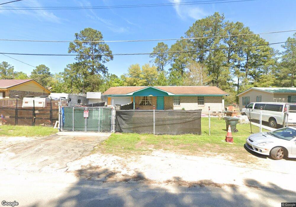
1039 10th Ave NE Cairo, GA 39828
Cairo AreaEstimated Value: $85,000 - $208,000
About This Home
This home is located at 1039 10th Ave NE, Cairo, GA 39828 and is currently estimated at $129,748, approximately $129 per square foot. 1039 10th Ave NE is a home located in Grady County with nearby schools including Cairo High School.
Ownership History
We collect this data history from publicly available records. To have your information removed, we recommend requesting removal directly through your county’s website.
Purchase Details
Purchase Details
Purchase Details
Purchase Details
Purchase History
We collect this data history from publicly available records. To have your information removed, we recommend requesting removal directly through your county’s website.
| Date | Buyer | Sale Price | Title Company |
|---|---|---|---|
| -- | -- | ||
| $47,500 | -- | ||
| -- | -- | ||
| $30,000 | -- |
Tax History
We collect this data history from publicly available records. To have your information removed, we recommend requesting removal directly through your county’s website.
| Year | Tax Paid | Tax Assessment Tax Assessment Total Assessment is a certain percentage of the fair market value that is determined by local assessors to be the total taxable value of land and additions on the property. | Land | Improvement |
|---|---|---|---|---|
| 2025 | $945 | $31,400 | $1,520 | $29,880 |
| 2024 | $945 | $28,320 | $1,520 | $26,800 |
| 2023 | $777 | $20,982 | $3,400 | $17,582 |
| 2022 | $808 | $20,982 | $3,400 | $17,582 |
| 2021 | $810 | $20,982 | $3,400 | $17,582 |
| 2020 | $812 | $20,982 | $3,400 | $17,582 |
| 2019 | $812 | $20,982 | $3,400 | $17,582 |
| 2018 | $772 | $20,982 | $3,400 | $17,582 |
| 2017 | $742 | $20,982 | $3,400 | $17,582 |
| 2016 | $650 | $17,973 | $3,400 | $14,573 |
| 2015 | $644 | $17,973 | $3,400 | $14,573 |
| 2014 | $644 | $17,973 | $3,400 | $14,573 |
| 2013 | -- | $15,874 | $3,400 | $12,474 |
Map
- 1037 10th Ave NE
- 1069 10th Ave NE
- 1099 10th Ave NE
- 1019 10th Ave NE
- 959 10th Ave NE
- 1121 11th St NE
- 1131 11th St NE
- 1097 Bondvilla Dr
- 1133 11th St NE
- 996 10th Ave NE
- 919 10th Ave NE
- 1104 10th Ave NE
- 990 10th Ave NE
- 1137 11th St NE
- 1125 10th Ave NE
- 1036 11th Ave NE
- 1066 11th Ave NE
- 1141 11th St NE
- 1096 11th Ave NE
- 887 10th Ave NE
Ask me questions while you tour the home.