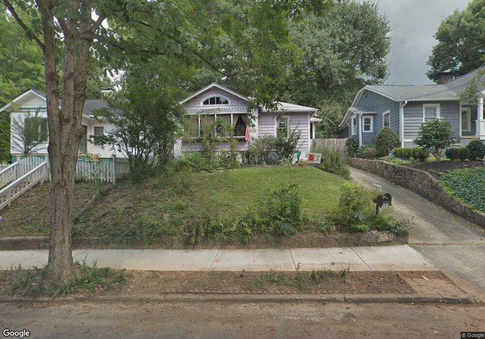
1039 Atlantic Dr NW Atlanta, GA 30318
Home Park NeighborhoodEstimated Value: $367,093 - $474,000
2
Beds
1
Bath
930
Sq Ft
$450/Sq Ft
Est. Value
About This Home
This home is located at 1039 Atlantic Dr NW, Atlanta, GA 30318 and is currently estimated at $418,273, approximately $449 per square foot. 1039 Atlantic Dr NW is a home located in Fulton County with nearby schools including Midtown High School, Centennial Academy, and Dar Un-Noor School.
Ownership History
Date
Name
Owned For
Owner Type
Purchase Details
Closed on
Jul 28, 2009
Sold by
Clow Robin P
Bought by
Clow Robin P and Clow Genevieve
Current Estimated Value
Home Financials for this Owner
Home Financials are based on the most recent Mortgage that was taken out on this home.
Original Mortgage
$274,725
Outstanding Balance
$180,488
Interest Rate
5.36%
Mortgage Type
FHA
Estimated Equity
$237,785
Purchase Details
Closed on
Oct 11, 1996
Sold by
Fox Richard S
Bought by
Gould William T Robin P
Purchase Details
Closed on
Apr 5, 1996
Sold by
Fitch Nancy V
Bought by
Fox Richard S
Create a Home Valuation Report for This Property
The Home Valuation Report is an in-depth analysis detailing your home's value as well as a comparison with similar homes in the area
Home Values in the Area
Average Home Value in this Area
Purchase History
| Date | Buyer | Sale Price | Title Company |
|---|---|---|---|
| Clow Robin P | -- | -- | |
| Clow Robin P | $300,000 | -- | |
| Gould William T Robin P | $78,000 | -- | |
| Fox Richard S | $5,000 | -- |
Source: Public Records
Mortgage History
| Date | Status | Borrower | Loan Amount |
|---|---|---|---|
| Open | Clow Robin P | $274,725 | |
| Closed | Fox Richard S | $0 |
Source: Public Records
Tax History Compared to Growth
Tax History
| Year | Tax Paid | Tax Assessment Tax Assessment Total Assessment is a certain percentage of the fair market value that is determined by local assessors to be the total taxable value of land and additions on the property. | Land | Improvement |
|---|---|---|---|---|
| 2025 | $1,626 | $140,080 | $74,760 | $65,320 |
| 2023 | $4,549 | $109,880 | $44,440 | $65,440 |
| 2022 | $1,863 | $109,880 | $44,440 | $65,440 |
| 2021 | $1,475 | $93,360 | $60,120 | $33,240 |
| 2020 | $955 | $93,360 | $60,120 | $33,240 |
| 2019 | $484 | $102,440 | $59,040 | $43,400 |
| 2018 | $1,561 | $70,760 | $22,840 | $47,920 |
| 2017 | $632 | $43,440 | $21,160 | $22,280 |
| 2016 | $635 | $43,440 | $21,160 | $22,280 |
| 2015 | $1,105 | $43,440 | $21,160 | $22,280 |
| 2014 | $659 | $43,440 | $21,160 | $22,280 |
Source: Public Records
Map
Nearby Homes
- 1031 State St NW Unit 106
- 1041 State St NW Unit 23
- 1008 State St NW
- 401 10th St NW Unit B104
- 401 10th St NW Unit B104
- 1186 Francis St NW
- 455 Lynch Ave NW
- 395 Laurent St NW Unit 4
- 1205 Holly St NW Unit A
- 1205 Holly St NW Unit B
- 385 15th St NW Unit 6
- 1231 Barnes St NW
- 384 16th St NW Unit 1
- 1072 Mcmillan St NW
- 383 16th St NW Unit 3
- 1267 Lyle Place NW
- 242 16th St NW Unit 14
- 1031 Atlantic Dr NW
- 1043 Atlantic Dr NW
- 306 11th St NW
- 1025 Atlantic Dr NW
- 1053 Atlantic Dr NW
- 1053 Atlantic Dr NW Unit A
- 1053 Atlantic Dr NW Unit B
- 311 Home Park Ave NW
- 307 Home Park Ave NW
- 1038 Atlantic Dr NW
- 1042 Atlantic Dr NW
- 1030 Atlantic Dr NW
- 317 Home Park Ave NW
- 1061 Atlantic Dr NW
- 301 11th St NW
- 329 Home Park Ave NW
- 1054 Atlantic Dr NW
- 1062 Westshire Place NW
- 1058 Atlantic Dr NW
- 1065 Atlantic Dr NW Unit A1