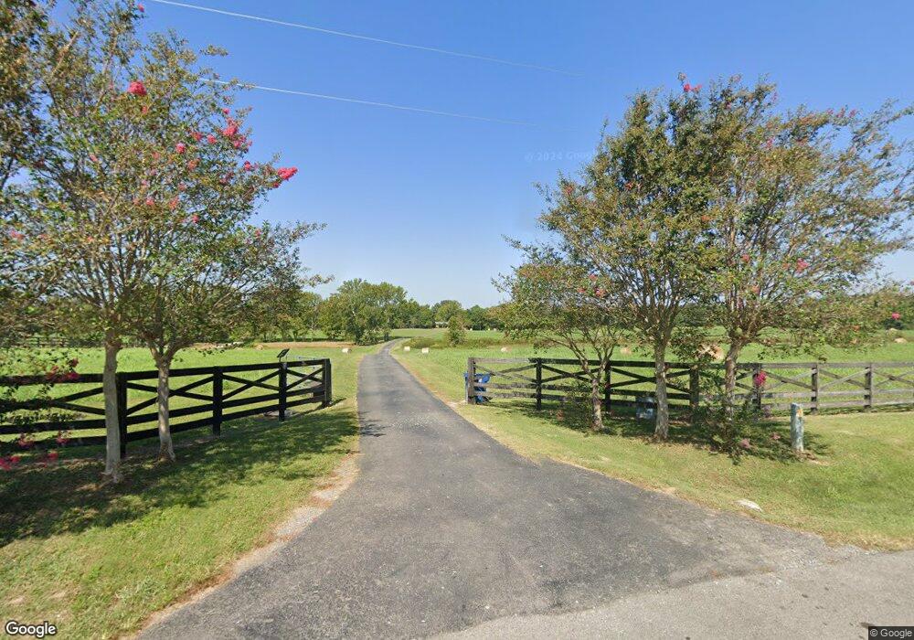
1039 Bean Rock Rd Union Grove, AL 35175
Estimated Value: $352,000 - $659,668
--
Bed
1
Bath
2,503
Sq Ft
$185/Sq Ft
Est. Value
About This Home
This home is located at 1039 Bean Rock Rd, Union Grove, AL 35175 and is currently estimated at $464,223, approximately $185 per square foot. 1039 Bean Rock Rd is a home located in Marshall County with nearby schools including Brindlee Mountain Primary School, Brindlee Mountain Elementary School, and Brindlee Mt Middle School.
Ownership History
Date
Name
Owned For
Owner Type
Purchase Details
Closed on
Feb 10, 2015
Sold by
Wooten Dustin
Bought by
Mccoy Roger and Mccoy Cheryl
Current Estimated Value
Home Financials for this Owner
Home Financials are based on the most recent Mortgage that was taken out on this home.
Original Mortgage
$104,000
Outstanding Balance
$80,066
Interest Rate
3.9%
Mortgage Type
Future Advance Clause Open End Mortgage
Estimated Equity
$384,157
Purchase Details
Closed on
Dec 10, 2012
Sold by
Bethea Todd M and Bethea Michele J
Bought by
Reed Chastin Blake
Home Financials for this Owner
Home Financials are based on the most recent Mortgage that was taken out on this home.
Original Mortgage
$268,086
Interest Rate
3.43%
Mortgage Type
Future Advance Clause Open End Mortgage
Create a Home Valuation Report for This Property
The Home Valuation Report is an in-depth analysis detailing your home's value as well as a comparison with similar homes in the area
Home Values in the Area
Average Home Value in this Area
Purchase History
| Date | Buyer | Sale Price | Title Company |
|---|---|---|---|
| Mccoy Roger | $130,000 | None Available | |
| Reed Chastin Blake | -- | None Available |
Source: Public Records
Mortgage History
| Date | Status | Borrower | Loan Amount |
|---|---|---|---|
| Open | Mccoy Roger | $104,000 | |
| Previous Owner | Reed Chastin Blake | $268,086 |
Source: Public Records
Tax History Compared to Growth
Tax History
| Year | Tax Paid | Tax Assessment Tax Assessment Total Assessment is a certain percentage of the fair market value that is determined by local assessors to be the total taxable value of land and additions on the property. | Land | Improvement |
|---|---|---|---|---|
| 2024 | $1,753 | $48,120 | $0 | $0 |
| 2023 | $1,753 | $46,560 | $0 | $0 |
| 2022 | $1,659 | $45,620 | $0 | $0 |
| 2021 | $1,564 | $43,100 | $0 | $0 |
| 2020 | $1,314 | $36,420 | $0 | $0 |
| 2017 | $1,244 | $34,560 | $0 | $0 |
| 2015 | -- | $32,760 | $0 | $0 |
| 2014 | -- | $32,760 | $0 | $0 |
Source: Public Records
Map
Nearby Homes
- 0 Thurman Rd
- 173 Brock Chapel Rd
- 8324 Union Grove Rd
- 4357 Merrill Mountain Rd
- 865 Quarry Rd
- 187 Deer Trail
- 201 Deer Trail
- 00 C Ivy Rd SE
- 476 Cedar Ridge Dr
- 10470 Union Grove Rd
- 1041 Greenbriar Cove Rd
- 402 Greenbriar Cove Rd
- 256 Greenbriar Cove Rd
- 588 Mount Olive Church Rd
- 14298 Highway 231
- 80ac Johnson Hollow Rd
- 6 Acres New Friendship Rd
- 269 Sue Nora Dr
- 463 Hickory Cir
- 295 N Ridge Dr
- 433 Bean Dr
- 409 Bean Dr
- 455 Bean Dr
- 0 Bean Dr Unit 1787974
- 0 Bean Dr
- 235 Bean Dr
- 1102 Bean Rock Rd
- 380 Bean Dr
- 438 Bean Dr
- 1291 Bean Rock Rd
- 882 Bean Rock Rd
- 248 Bean Dr
- 1341 Bean Rock Rd
- 740 Bean Rock Rd
- 1783 McDermont Rd
- 236 Bean Dr
- 563 Bean Rock Rd
- 1361 Bean Rock Rd
- 1617 McDermont Rd
- 1636 McDermont Rd