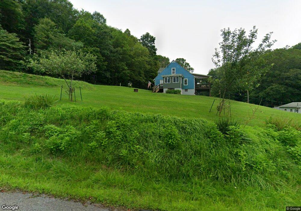
1039 Blacks Hollow Rd Apollo, PA 15613
Kiskiminetas Township NeighborhoodEstimated Value: $344,000 - $443,000
3
Beds
3
Baths
2,060
Sq Ft
$187/Sq Ft
Est. Value
About This Home
This home is located at 1039 Blacks Hollow Rd, Apollo, PA 15613 and is currently estimated at $385,781, approximately $187 per square foot. 1039 Blacks Hollow Rd is a home located in Armstrong County with nearby schools including Apollo-Ridge Elementary School, Apollo-Ridge Middle School, and Apollo-Ridge High School.
Ownership History
Date
Name
Owned For
Owner Type
Purchase Details
Closed on
Mar 18, 2014
Sold by
Stiffy Larry L and Stiffy Heather M
Bought by
Dober Joshua S and Sabot Jenna E
Current Estimated Value
Home Financials for this Owner
Home Financials are based on the most recent Mortgage that was taken out on this home.
Original Mortgage
$160,000
Outstanding Balance
$120,951
Interest Rate
4.27%
Mortgage Type
New Conventional
Estimated Equity
$264,830
Purchase Details
Closed on
Jul 17, 2006
Sold by
Shupe Michael A and Shupe Heide R
Bought by
Stiffy Larry L and Stiffy Heather M
Home Financials for this Owner
Home Financials are based on the most recent Mortgage that was taken out on this home.
Original Mortgage
$186,000
Interest Rate
6.67%
Mortgage Type
Construction
Create a Home Valuation Report for This Property
The Home Valuation Report is an in-depth analysis detailing your home's value as well as a comparison with similar homes in the area
Home Values in the Area
Average Home Value in this Area
Purchase History
| Date | Buyer | Sale Price | Title Company |
|---|---|---|---|
| Dober Joshua S | $200,000 | None Available | |
| Stiffy Larry L | -- | None Available |
Source: Public Records
Mortgage History
| Date | Status | Borrower | Loan Amount |
|---|---|---|---|
| Open | Dober Joshua S | $160,000 | |
| Previous Owner | Stiffy Larry L | $186,000 |
Source: Public Records
Tax History Compared to Growth
Tax History
| Year | Tax Paid | Tax Assessment Tax Assessment Total Assessment is a certain percentage of the fair market value that is determined by local assessors to be the total taxable value of land and additions on the property. | Land | Improvement |
|---|---|---|---|---|
| 2025 | $7,852 | $82,030 | $44,660 | $37,370 |
| 2024 | $7,292 | $82,030 | $44,660 | $37,370 |
| 2023 | $5,639 | $82,030 | $44,660 | $37,370 |
| 2022 | $5,576 | $82,030 | $44,660 | $37,370 |
| 2021 | $5,480 | $82,030 | $44,660 | $37,370 |
| 2020 | $5,480 | $82,030 | $44,660 | $37,370 |
| 2019 | $5,448 | $82,030 | $44,660 | $37,370 |
| 2018 | $5,448 | $63,795 | $10,415 | $53,380 |
| 2017 | $5,416 | $82,030 | $44,660 | $37,370 |
| 2016 | $5,416 | $82,030 | $44,660 | $37,370 |
| 2015 | $4,593 | $82,030 | $44,660 | $37,370 |
| 2014 | $4,593 | $82,030 | $44,660 | $37,370 |
Source: Public Records
Map
Nearby Homes
- 000 Flat Rock Rd
- 28 Clark Ave
- 1824 State Route 56
- 1736 State Route 56
- 1677 Shady Plain Rd
- 4038 State Route 156
- 4038 Pennsylvania 156
- 106 Spring Dr
- 0 Lutheran Church Rd
- 3385 State Route 156
- 1400 State Route 56e
- Lot A Guthrie Rd
- 1239 Old State Rd
- 149 Florida Ave
- Lot 10 Beulah Church Rd
- Lot 6 Horrell Rd
- 604 Patterson Rd
- 957 Cherry Lane Rd
- 527 Westmoreland Ave
- 1212 Gravel Bar Rd
- 1041 Blacks Hollow Rd
- 1469 Blacks Hollow Rd
- 1369 Blacks Hollow Rd
- 0 Flat Rock Rd
- 196 Flat Rock Rd
- 1985 Pennsylvania 56
- 1979 State Route 56
- 1985 State Route 56
- 1965 State Route 56
- 481 Flat Rock Rd
- 1957 State Route 56
- 1957 State Route 56
- 1945 State Route 56
- 490 Flat Rock Rd
- 000 Flat Rock Rd
- 0 Flat Rock Rd
- 1942 State Route 56
- 490 Rumbaugh Rd
- 404 Rumbaugh Rd
- 375 Rumbaugh Rd