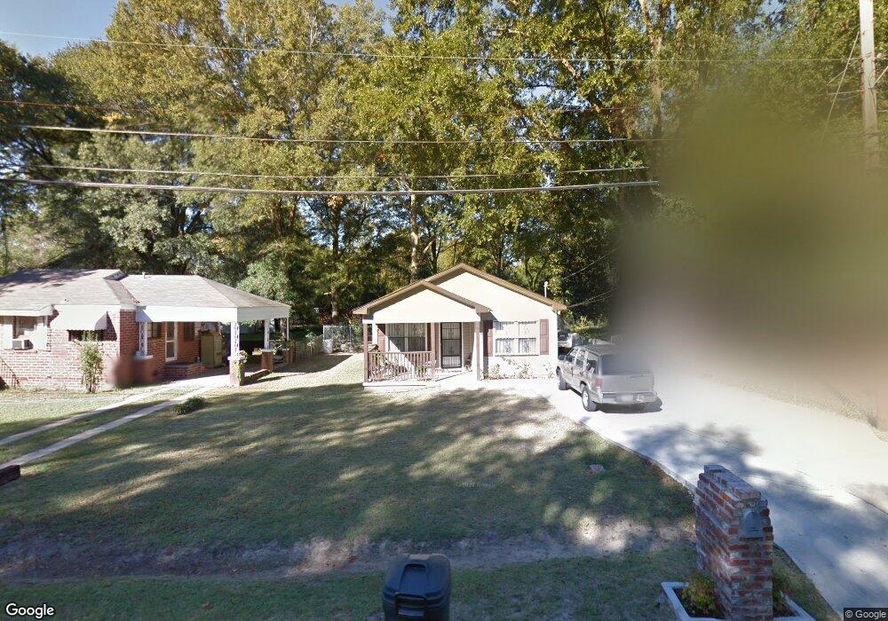
1039 Brooks Rd Columbus, GA 31903
Southern Columbus NeighborhoodEstimated Value: $62,000 - $90,000
3
Beds
2
Baths
1,057
Sq Ft
$73/Sq Ft
Est. Value
About This Home
This home is located at 1039 Brooks Rd, Columbus, GA 31903 and is currently estimated at $76,843, approximately $72 per square foot. 1039 Brooks Rd is a home located in Muscogee County with nearby schools including Dorothy Height Elementary School, Baker Middle School, and Spencer High School.
Ownership History
Date
Name
Owned For
Owner Type
Purchase Details
Closed on
Oct 21, 2008
Sold by
Columbus Area Habitat For Humanity Inc
Bought by
Veals Timothy
Current Estimated Value
Home Financials for this Owner
Home Financials are based on the most recent Mortgage that was taken out on this home.
Original Mortgage
$50,245
Interest Rate
6.1%
Mortgage Type
Seller Take Back
Create a Home Valuation Report for This Property
The Home Valuation Report is an in-depth analysis detailing your home's value as well as a comparison with similar homes in the area
Home Values in the Area
Average Home Value in this Area
Purchase History
| Date | Buyer | Sale Price | Title Company |
|---|---|---|---|
| Veals Timothy | $50,175 | None Available |
Source: Public Records
Mortgage History
| Date | Status | Borrower | Loan Amount |
|---|---|---|---|
| Open | Veals Timothy | $20,000 | |
| Previous Owner | Veals Timothy | $50,245 |
Source: Public Records
Tax History Compared to Growth
Tax History
| Year | Tax Paid | Tax Assessment Tax Assessment Total Assessment is a certain percentage of the fair market value that is determined by local assessors to be the total taxable value of land and additions on the property. | Land | Improvement |
|---|---|---|---|---|
| 2025 | $270 | $29,656 | $3,368 | $26,288 |
| 2024 | $268 | $37,532 | $3,368 | $34,164 |
| 2023 | $279 | $37,532 | $3,368 | $34,164 |
| 2022 | $279 | $30,532 | $3,368 | $27,164 |
| 2021 | $273 | $28,808 | $3,368 | $25,440 |
| 2020 | $273 | $28,808 | $3,368 | $25,440 |
| 2019 | $276 | $28,808 | $3,368 | $25,440 |
| 2018 | $276 | $28,808 | $3,368 | $25,440 |
| 2017 | $278 | $28,808 | $3,368 | $25,440 |
| 2016 | $280 | $20,070 | $3,600 | $16,470 |
| 2015 | $113 | $20,070 | $3,600 | $16,470 |
| 2014 | $113 | $20,070 | $3,600 | $16,470 |
| 2013 | -- | $20,070 | $3,600 | $16,470 |
Source: Public Records
Map
Nearby Homes
- 920 Brooks Rd
- 929 Winston Rd
- 3522 Youmans St
- 1025 Fletcher Ave
- 906 Winston Rd
- 824 Winston Rd
- 917 Fletcher Ave
- 810 Winston Rd
- 3711 Youmans St
- 716 Benning Dr
- 3815 Baker Plaza Dr
- 2451 Brownie Ln
- 1274 Providence Ln
- 2463 Brownie Ln
- 2463 Brownie St
- 2973 Hawthorne Dr
- 3110 Victory Dr Unit 90
- 3110 Victory Dr
- 2916 Lee St
- 4026 Bowman St