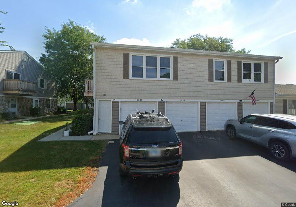
1039 Brunswick Harbor Unit 54 Schaumburg, IL 60193
South Schaumburg NeighborhoodEstimated Value: $238,621 - $272,000
2
Beds
--
Bath
1,000
Sq Ft
$253/Sq Ft
Est. Value
About This Home
This home is located at 1039 Brunswick Harbor Unit 54, Schaumburg, IL 60193 and is currently estimated at $253,405, approximately $253 per square foot. 1039 Brunswick Harbor Unit 54 is a home located in Cook County with nearby schools including Michael Collins Elementary School, Robert Frost Junior High School, and J B Conant High School.
Ownership History
Date
Name
Owned For
Owner Type
Purchase Details
Closed on
Sep 26, 1997
Sold by
Choi Sinhong and Choi Soonok
Bought by
Arneson Laura L
Current Estimated Value
Home Financials for this Owner
Home Financials are based on the most recent Mortgage that was taken out on this home.
Original Mortgage
$72,700
Outstanding Balance
$11,937
Interest Rate
7.7%
Mortgage Type
FHA
Estimated Equity
$241,468
Purchase Details
Closed on
May 9, 1995
Sold by
Bednarski Imelda M
Bought by
Choi Sinhong and Choi Soonok
Home Financials for this Owner
Home Financials are based on the most recent Mortgage that was taken out on this home.
Original Mortgage
$84,150
Interest Rate
7.87%
Create a Home Valuation Report for This Property
The Home Valuation Report is an in-depth analysis detailing your home's value as well as a comparison with similar homes in the area
Home Values in the Area
Average Home Value in this Area
Purchase History
| Date | Buyer | Sale Price | Title Company |
|---|---|---|---|
| Arneson Laura L | $61,000 | -- | |
| Choi Sinhong | $89,000 | -- |
Source: Public Records
Mortgage History
| Date | Status | Borrower | Loan Amount |
|---|---|---|---|
| Open | Arneson Laura L | $72,700 | |
| Previous Owner | Choi Sinhong | $84,150 |
Source: Public Records
Tax History Compared to Growth
Tax History
| Year | Tax Paid | Tax Assessment Tax Assessment Total Assessment is a certain percentage of the fair market value that is determined by local assessors to be the total taxable value of land and additions on the property. | Land | Improvement |
|---|---|---|---|---|
| 2024 | $3,438 | $15,590 | $646 | $14,944 |
| 2023 | $3,306 | $15,590 | $646 | $14,944 |
| 2022 | $3,306 | $15,590 | $646 | $14,944 |
| 2021 | $3,196 | $13,874 | $352 | $13,522 |
| 2020 | $3,209 | $13,874 | $352 | $13,522 |
| 2019 | $3,213 | $15,416 | $352 | $15,064 |
| 2018 | $2,253 | $10,944 | $293 | $10,651 |
| 2017 | $2,236 | $10,944 | $293 | $10,651 |
| 2016 | $2,333 | $10,944 | $293 | $10,651 |
| 2015 | $2,010 | $9,341 | $264 | $9,077 |
| 2014 | $2,004 | $9,341 | $264 | $9,077 |
| 2013 | $1,935 | $9,341 | $264 | $9,077 |
Source: Public Records
Map
Nearby Homes
- 916 Manchester Cir Unit 91A
- 205 Nantucket Harbor Unit 104
- 126 Manchester Ct Unit 61B
- 1100 Boston Harbor Unit 7004
- 421 E Wise Rd
- 426 E Niagara Ave
- 36 Shore Dr
- 124 E Monterey Ave
- 620 S Point Dr
- 718 N Point Dr
- 733 Limerick Ln Unit 7333D
- 711 Tipperary Ct Unit 2D
- 727 Killarney Ct Unit 1C
- 826 Thornton Ct Unit 2AL
- 631 Derry Ct Unit 3C
- 635 Limerick Ln Unit 2B
- 1623 Indian Hill Dr
- 614 Tralee Ct Unit 2-C
- 833 Thornton Ct Unit 2B
- 722 Merlin Dr Unit 16
- 1043 Brunswick Harbor Unit 54
- 1041 Brunswick Harbor Unit 54
- 1037 Brunswick Harbor Unit 54
- 1047 Brunswick Harbor Unit 47
- 1025 Brunswick Harbor Unit 55
- 1027 Brunswick Harbor Unit 55
- 1027 Brunswick Harbor Unit 5503
- 1021 Brunswick Harbor Unit 55
- 1063 Brunswick Harbor Unit 53
- 1050 Brunswick Harbor Unit 39
- 1061 Brunswick Harbor Unit 53
- 1067 Brunswick Harbor Unit 53
- 1023 Brunswick Harbor Unit 55
- 1065 Brunswick Harbor Unit 53
- 1048 Brunswick Harbor Unit 39
- 1044 Brunswick Harbor Unit 39
- 1040 Brunswick Harbor Unit 51
- 1046 Brunswick Harbor Unit 39
- 1062 Brunswick Harbor Unit 40
- 1060 Brunswick Harbor Unit 40