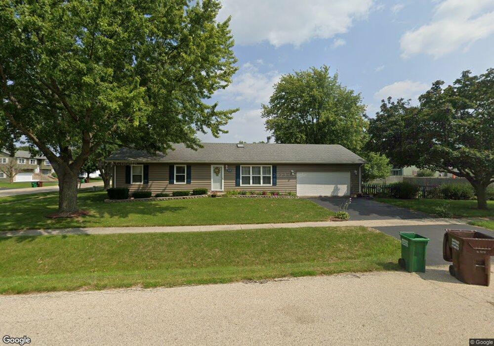
1039 Kishwaukee St Marengo, IL 60152
Estimated Value: $169,000 - $261,000
--
Bed
--
Bath
--
Sq Ft
8,799
Sq Ft Lot
About This Home
This home is located at 1039 Kishwaukee St, Marengo, IL 60152 and is currently estimated at $226,746. 1039 Kishwaukee St is a home located in McHenry County with nearby schools including Locust Elementary School, Marengo Community Middle School, and Marengo Community High School.
Ownership History
Date
Name
Owned For
Owner Type
Purchase Details
Closed on
Jan 24, 2001
Sold by
Mangum Jennifer A and Snelten Jennifer A
Bought by
Snelten Christopher L and Snelten Jennifer A
Current Estimated Value
Home Financials for this Owner
Home Financials are based on the most recent Mortgage that was taken out on this home.
Original Mortgage
$130,400
Interest Rate
7.18%
Purchase Details
Closed on
Nov 14, 1996
Sold by
Mangum James C
Bought by
Mangum Jennifer A
Create a Home Valuation Report for This Property
The Home Valuation Report is an in-depth analysis detailing your home's value as well as a comparison with similar homes in the area
Home Values in the Area
Average Home Value in this Area
Purchase History
| Date | Buyer | Sale Price | Title Company |
|---|---|---|---|
| Snelten Christopher L | -- | -- | |
| Mangum Jennifer A | -- | -- |
Source: Public Records
Mortgage History
| Date | Status | Borrower | Loan Amount |
|---|---|---|---|
| Closed | Snelten Christopher L | $130,400 |
Source: Public Records
Tax History Compared to Growth
Tax History
| Year | Tax Paid | Tax Assessment Tax Assessment Total Assessment is a certain percentage of the fair market value that is determined by local assessors to be the total taxable value of land and additions on the property. | Land | Improvement |
|---|---|---|---|---|
| 2024 | $4,311 | $64,807 | $15,094 | $49,713 |
| 2023 | $4,155 | $57,129 | $13,306 | $43,823 |
| 2022 | $4,096 | $51,663 | $12,033 | $39,630 |
| 2021 | $3,785 | $47,073 | $10,964 | $36,109 |
| 2020 | $3,705 | $44,797 | $10,434 | $34,363 |
| 2019 | $3,900 | $42,445 | $9,886 | $32,559 |
| 2018 | $3,597 | $39,757 | $9,260 | $30,497 |
| 2017 | $3,462 | $37,659 | $8,771 | $28,888 |
| 2016 | $3,324 | $35,186 | $8,195 | $26,991 |
| 2013 | -- | $34,426 | $8,018 | $26,408 |
Source: Public Records
Map
Nearby Homes
- 830 N Taylor St
- 854 Walnut Ct
- 860 Woodland Ct
- 1101 N State St
- 906 N State St
- 790 Cascade Dr
- 212 E Van Buren St
- 819 Whitetail Dr
- 817 Whitetail Dr
- 900 Partridge Cir
- The Williamsburg Plan at Deerpass Estates
- The Charlotte Plan at Deerpass Estates
- The Remington Plan at Deerpass Estates
- 115 Jackson St
- NW Corner Rt 176 and Deerpass Rd
- 0 Deerpass Rd
- 4.71 AC W Grant Hwy
- 00 Maple St
- 422 Damen St
- 802 Echo (Lot 23) Trail