1039 Montrose Dr Lake Havasu City, AZ 86406
Estimated Value: $540,879 - $706,000
4
Beds
2
Baths
1,943
Sq Ft
$322/Sq Ft
Est. Value
About This Home
This home is located at 1039 Montrose Dr, Lake Havasu City, AZ 86406 and is currently estimated at $624,970, approximately $321 per square foot. 1039 Montrose Dr is a home located in Mohave County with nearby schools including Starline Elementary School, Thunderbolt Middle School, and Lake Havasu High School.
Ownership History
Date
Name
Owned For
Owner Type
Purchase Details
Closed on
Nov 22, 2011
Sold by
Metter Rodney A and Metter Wanda S
Bought by
Metter Rod and Metter Wanda
Current Estimated Value
Purchase Details
Closed on
Jun 9, 2011
Sold by
Galati Alfred A
Bought by
The Alfred Anthony Galati Living Trust
Purchase Details
Closed on
May 11, 2011
Sold by
Gifford Stetson and Dwyer Theresa S
Bought by
Gifford Stetson and Dwyer Theresa S
Purchase Details
Closed on
Jul 13, 2005
Sold by
Galati Alfred Anthony
Bought by
Metter Rodney A and Metter Wanda S
Home Financials for this Owner
Home Financials are based on the most recent Mortgage that was taken out on this home.
Original Mortgage
$390,600
Interest Rate
5.74%
Mortgage Type
Purchase Money Mortgage
Create a Home Valuation Report for This Property
The Home Valuation Report is an in-depth analysis detailing your home's value as well as a comparison with similar homes in the area
Home Values in the Area
Average Home Value in this Area
Purchase History
| Date | Buyer | Sale Price | Title Company |
|---|---|---|---|
| Metter Rod | -- | None Available | |
| The Alfred Anthony Galati Living Trust | -- | None Available | |
| Gifford Stetson | -- | None Available | |
| Metter Rodney A | $194,000 | State Title |
Source: Public Records
Mortgage History
| Date | Status | Borrower | Loan Amount |
|---|---|---|---|
| Previous Owner | Metter Rodney A | $390,600 |
Source: Public Records
Tax History Compared to Growth
Tax History
| Year | Tax Paid | Tax Assessment Tax Assessment Total Assessment is a certain percentage of the fair market value that is determined by local assessors to be the total taxable value of land and additions on the property. | Land | Improvement |
|---|---|---|---|---|
| 2026 | $1,124 | -- | -- | -- |
| 2025 | $2,278 | $52,637 | $0 | $0 |
| 2024 | $2,278 | $58,411 | $0 | $0 |
| 2023 | $2,278 | $49,978 | $0 | $0 |
| 2022 | $2,180 | $33,684 | $0 | $0 |
| 2021 | $2,364 | $32,780 | $0 | $0 |
| 2019 | $2,244 | $28,752 | $0 | $0 |
| 2018 | $2,166 | $28,269 | $0 | $0 |
| 2017 | $2,145 | $25,146 | $0 | $0 |
| 2016 | $1,939 | $24,492 | $0 | $0 |
| 2015 | $1,856 | $21,186 | $0 | $0 |
Source: Public Records
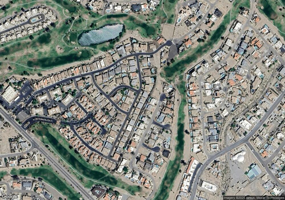
Map
Nearby Homes
- 1065 Montrose Dr
- 2545 Firestone Cir Unit 9
- 1031 Gleneagles Dr
- 701 Paseo Granada
- 2537 Pebble Beach Loop Unit 22
- 2571 Vía Palma
- 2591 Via Palma
- 2659 Jamaica Blvd S Unit C102
- 55-57-61 Acoma Blvd S
- 50 Acoma Blvd S
- 470 Acoma Blvd S Unit 128
- 470 Acoma Blvd S Unit 109
- 470 Acoma Blvd S Unit 122
- 1081/1091 Acoma Blvd S
- 677 Avenida Laredo
- 420 Acoma Blvd S Unit 26
- 420 Acoma Blvd S Unit 25
- 585 Player Ln
- 2609 Circulo Hermosa
- 670 Avenida Laredo
- 1040 Montrose Dr
- 1038 Montrose Dr
- 1038 Montrose Dr Unit 16
- 2741 Via Palma
- 2731 Via Palma
- 2751 Via Palma
- 1041 Montrose Dr
- 2751 Via Palma
- 2751 Vía Palma
- 1063 Montrose Dr
- 1063 Montrose Dr
- 1037 Montrose Dr
- 1063 Montrose Dr
- 1062 Montrose Dr
- 2721 Via Palma
- 1064 Montrose Dr
- 1064 Montrose Dr
- 1064 Montrose Dr
- 1064 Montrose Dr
- 2761 Via Palma