Estimated Value: $193,000 - $282,000
4
Beds
3
Baths
2,236
Sq Ft
$109/Sq Ft
Est. Value
About This Home
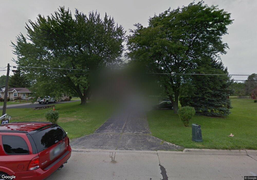
This home is located at 1039 N Linden Rd, Flint, MI 48532 and is currently estimated at $244,150, approximately $109 per square foot. 1039 N Linden Rd is a home located in Genesee County with nearby schools including Carman-Ainsworth High School, Genesee STEM Academy, and St. Paul Lutheran School.
Ownership History
Date
Name
Owned For
Owner Type
Purchase Details
Closed on
Jan 27, 2022
Sold by
Hall Lawanna C
Bought by
Hall Lawanna C
Current Estimated Value
Purchase Details
Closed on
Jun 5, 2008
Sold by
Day Richard Earl and Day Sally Marie
Bought by
Hall Lawanna C
Create a Home Valuation Report for This Property
The Home Valuation Report is an in-depth analysis detailing your home's value as well as a comparison with similar homes in the area
Home Values in the Area
Average Home Value in this Area
Purchase History
| Date | Buyer | Sale Price | Title Company |
|---|---|---|---|
| Hall Lawanna C | -- | None Listed On Document | |
| Hall Lawanna C | $143,000 | Sargents Title Company |
Source: Public Records
Tax History Compared to Growth
Tax History
| Year | Tax Paid | Tax Assessment Tax Assessment Total Assessment is a certain percentage of the fair market value that is determined by local assessors to be the total taxable value of land and additions on the property. | Land | Improvement |
|---|---|---|---|---|
| 2025 | $2,692 | $104,200 | $0 | $0 |
| 2024 | $1,436 | $105,300 | $0 | $0 |
| 2023 | $1,370 | $99,700 | $0 | $0 |
| 2022 | $1,133 | $85,100 | $0 | $0 |
| 2021 | $2,377 | $77,400 | $0 | $0 |
| 2020 | $1,231 | $75,900 | $0 | $0 |
| 2019 | $1,213 | $73,800 | $0 | $0 |
| 2018 | $2,216 | $66,400 | $0 | $0 |
| 2017 | $2,131 | $66,400 | $0 | $0 |
| 2016 | $2,189 | $65,000 | $0 | $0 |
| 2015 | $2,038 | $56,300 | $0 | $0 |
| 2014 | $1,209 | $51,500 | $0 | $0 |
| 2012 | -- | $48,700 | $48,700 | $0 |
Source: Public Records
Map
Nearby Homes
- 1090 Cabot Dr
- 1159 N Linden Rd
- 1193 Normandy Terrace Dr
- 1246 Dyemeadow Ln
- 2 Charter Dr
- 5297 Oaktree Dr
- 5104 Shady Oak Trail
- 5325 N Dyewood Dr
- 1391 Dye Krest Cir
- 0 Charter Dr Unit 50153638
- 5021 Forest Side Dr
- 3.9 Acres W Court St
- 1194 Woodkrest Dr
- 5345 Birchtree Ct
- 1058 Cora Dr
- 1068 S Graham Rd
- 4480 Corunna Rd
- 2008 Beekman Ct
- 5551 Sugar Bush Ln
- Graham Rd N Graham Rd
- 1055 N Linden Rd
- 5026 Calkins Rd
- 5038 Calkins Rd
- 5038 Calkins Rd
- 1077 N Linden Rd
- 1030 N Linden Rd
- 1030 N Linden Rd
- 1030 N Linden Rd
- 620 S Linden Rd
- 1064 N Linden Rd
- 1106 Heatherwoode Rd
- 5015 Calkins Rd
- 4496 Calkins Rd
- 1093 N Linden Rd
- 1024 S Linden Rd
- 1115 Heatherwoode Rd
- 4486 Calkins Rd
- 1061 Cabot Dr
- 5076 Calkins Rd
- 5031 Calkins Rd