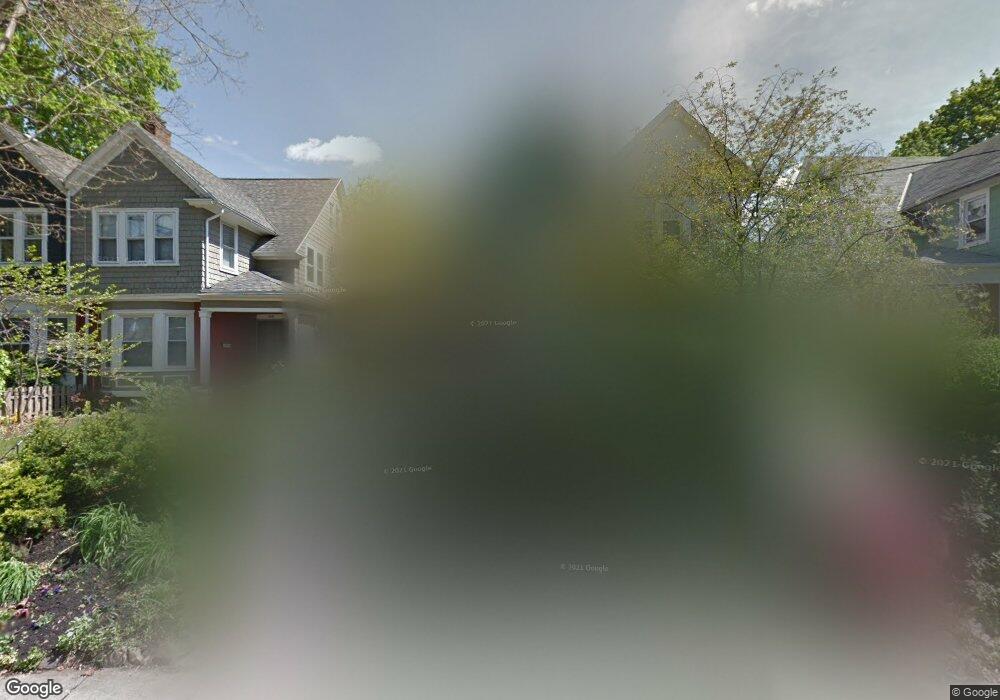
1039 Reese Ave Bryn Mawr, PA 19010
Estimated Value: $353,000 - $468,000
4
Beds
2
Baths
1,783
Sq Ft
$241/Sq Ft
Est. Value
About This Home
This home is located at 1039 Reese Ave, Bryn Mawr, PA 19010 and is currently estimated at $428,971, approximately $240 per square foot. 1039 Reese Ave is a home located in Montgomery County with nearby schools including Welsh Valley Middle School, Harriton Senior High School, and Holy Child School at Rosemont.
Ownership History
Date
Name
Owned For
Owner Type
Purchase Details
Closed on
Jul 21, 2023
Sold by
Ferrante Mario and Ferrante Elisa
Bought by
New Rees Ave Llc
Current Estimated Value
Purchase Details
Closed on
May 20, 2013
Sold by
Neducsin Daniel
Bought by
Ferrante Mario and Ferrante Elisa
Home Financials for this Owner
Home Financials are based on the most recent Mortgage that was taken out on this home.
Original Mortgage
$247,000
Interest Rate
3.45%
Mortgage Type
New Conventional
Purchase Details
Closed on
Feb 3, 2006
Sold by
Saftoiu Dana and Vladimer Randi J
Bought by
Neducsin Daniel
Purchase Details
Closed on
Jul 28, 2000
Sold by
Thompson William W
Bought by
Saftoiu Dana
Create a Home Valuation Report for This Property
The Home Valuation Report is an in-depth analysis detailing your home's value as well as a comparison with similar homes in the area
Home Values in the Area
Average Home Value in this Area
Purchase History
| Date | Buyer | Sale Price | Title Company |
|---|---|---|---|
| New Rees Ave Llc | $441,500 | None Listed On Document | |
| Ferrante Mario | $260,000 | None Available | |
| Neducsin Daniel | $297,500 | None Available | |
| Saftoiu Dana | $156,000 | -- |
Source: Public Records
Mortgage History
| Date | Status | Borrower | Loan Amount |
|---|---|---|---|
| Previous Owner | Ferrante Mario | $247,000 |
Source: Public Records
Tax History Compared to Growth
Tax History
| Year | Tax Paid | Tax Assessment Tax Assessment Total Assessment is a certain percentage of the fair market value that is determined by local assessors to be the total taxable value of land and additions on the property. | Land | Improvement |
|---|---|---|---|---|
| 2025 | $4,421 | $105,860 | $24,420 | $81,440 |
| 2024 | $4,421 | $105,860 | $24,420 | $81,440 |
| 2023 | $4,237 | $105,860 | $24,420 | $81,440 |
| 2022 | $4,158 | $105,860 | $24,420 | $81,440 |
| 2021 | $4,063 | $105,860 | $24,420 | $81,440 |
| 2020 | $3,964 | $105,860 | $24,420 | $81,440 |
| 2019 | $3,894 | $105,860 | $24,420 | $81,440 |
| 2018 | $3,894 | $105,860 | $24,420 | $81,440 |
| 2017 | $3,751 | $105,860 | $24,420 | $81,440 |
| 2016 | $3,710 | $105,860 | $24,420 | $81,440 |
| 2015 | $3,460 | $105,860 | $24,420 | $81,440 |
| 2014 | $3,460 | $105,860 | $24,420 | $81,440 |
Source: Public Records
Map
Nearby Homes
- 28 S Warner Ave
- 50 Prospect Ave
- 27 S Merion Ave
- 75 S Merion Ave
- 922 Montgomery Ave Unit B2
- 1030 E Lancaster Ave Unit 216
- 1030 E Lancaster Ave Unit 923
- 741 County Line Rd
- 68 Garrett Ave
- 145 Landover Rd
- 189 Meredith Ave
- 311 Millbank Rd
- 390 S Bryn Mawr Ave
- 131 Fairfax Rd
- 815 Penn St
- 601 Montgomery Ave Unit 204
- 258 Lee Cir
- 173 Clemson Rd
- 732 Buck Ln
- 530 New Gulph Rd