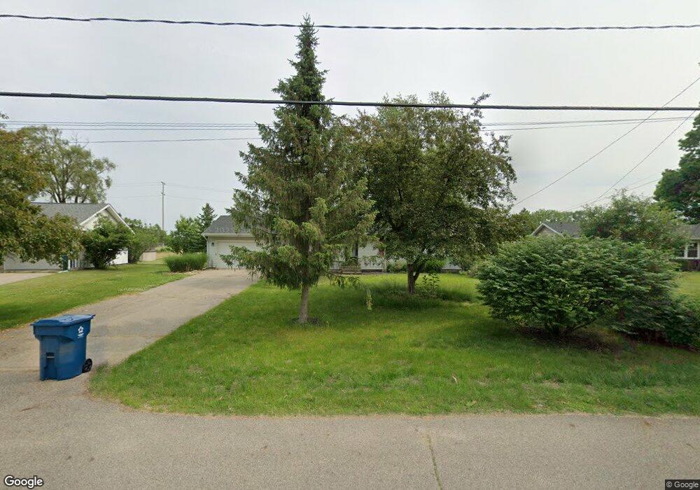
1039 Sir Knight Rd Plainwell, MI 49080
Estimated Value: $283,000 - $330,000
3
Beds
2
Baths
1,288
Sq Ft
$233/Sq Ft
Est. Value
About This Home
This home is located at 1039 Sir Knight Rd, Plainwell, MI 49080 and is currently estimated at $299,463, approximately $232 per square foot. 1039 Sir Knight Rd is a home located in Allegan County with nearby schools including Plainwell High School and Otsego Christian Academy.
Ownership History
Date
Name
Owned For
Owner Type
Purchase Details
Closed on
Aug 30, 2024
Sold by
Weyenberg Donald J
Bought by
Pratt Living Trust
Current Estimated Value
Purchase Details
Closed on
Apr 27, 2006
Sold by
Pond Bryan D and Pond Joy P
Bought by
Weyenberg Donald J
Home Financials for this Owner
Home Financials are based on the most recent Mortgage that was taken out on this home.
Original Mortgage
$110,000
Interest Rate
6.42%
Mortgage Type
Fannie Mae Freddie Mac
Purchase Details
Closed on
Sep 29, 1995
Sold by
Mader Ii Gerald M and Mader Carla D
Bought by
Pond Bryan D and Pond Joy P
Create a Home Valuation Report for This Property
The Home Valuation Report is an in-depth analysis detailing your home's value as well as a comparison with similar homes in the area
Home Values in the Area
Average Home Value in this Area
Purchase History
| Date | Buyer | Sale Price | Title Company |
|---|---|---|---|
| Pratt Living Trust | $285,000 | None Listed On Document | |
| Pratt Living Trust | $285,000 | None Listed On Document | |
| Weyenberg Donald J | $141,600 | Chicago Title | |
| Pond Bryan D | $93,500 | -- |
Source: Public Records
Mortgage History
| Date | Status | Borrower | Loan Amount |
|---|---|---|---|
| Previous Owner | Weyenberg Donald J | $110,000 |
Source: Public Records
Tax History Compared to Growth
Tax History
| Year | Tax Paid | Tax Assessment Tax Assessment Total Assessment is a certain percentage of the fair market value that is determined by local assessors to be the total taxable value of land and additions on the property. | Land | Improvement |
|---|---|---|---|---|
| 2025 | $2,451 | $126,500 | $13,100 | $113,400 |
| 2024 | $2,235 | $120,900 | $12,600 | $108,300 |
| 2023 | $2,270 | $112,500 | $12,300 | $100,200 |
| 2022 | $2,235 | $66,800 | $7,600 | $59,200 |
| 2021 | $2,087 | $66,500 | $5,600 | $60,900 |
| 2020 | $2,087 | $75,600 | $4,100 | $71,500 |
| 2019 | $0 | $73,600 | $4,100 | $69,500 |
| 2018 | $0 | $71,400 | $9,100 | $62,300 |
| 2017 | $0 | $71,100 | $9,100 | $62,000 |
| 2016 | $0 | $62,800 | $9,100 | $53,700 |
| 2015 | -- | $62,800 | $9,100 | $53,700 |
| 2014 | -- | $62,800 | $9,100 | $53,700 |
| 2013 | -- | $59,100 | $9,100 | $50,000 |
Source: Public Records
Map
Nearby Homes
- 1036 Sir Knight Rd
- 518 Foxmoor Dr Unit 39
- 1081 Sir Knight Rd
- 965 Miller Rd
- 455 N 10th St
- 950 Lafayette St
- 1025 Allen Ct
- 1177 106th Ave
- 1183 Miller Rd
- 771 N Main St
- 140 W 1st Ave
- 623 Glenview Cir
- VL 107th Ave
- 390 12th St
- 830 Miller Rd Unit 9.86 Acres
- 830 Miller Rd Unit 26.94 Acres
- 830 Miller Rd Unit 15 Acres
- 426 W Bridge St
- 204 N Sherwood Ave
- 787 Autumn Dr
- 1041 Sir Knight Rd
- 1035 Sir Knight Rd
- 1043 Sir Knight Rd
- 1033 Sir Knight Rd
- 1040 Sir Knight Rd
- 1040 Sir Knight Rd
- 1042 Sir Knight Rd
- 1045 Sir Knight Rd
- 1031 Sir Knight Rd
- 1044 Sir Knight Rd
- 1041 Miller Rd
- 1020 Sir Knight Rd
- 1025 Sir Knight Rd
- 1045 Miller Rd
- 1052 Sir Knight Rd
- 1051 Sir Knight Rd
- 1027 Miller Rd
- 1056 Sir Knight Rd
- 531 Foxmoor Dr
- 1058 Sir Knight Rd