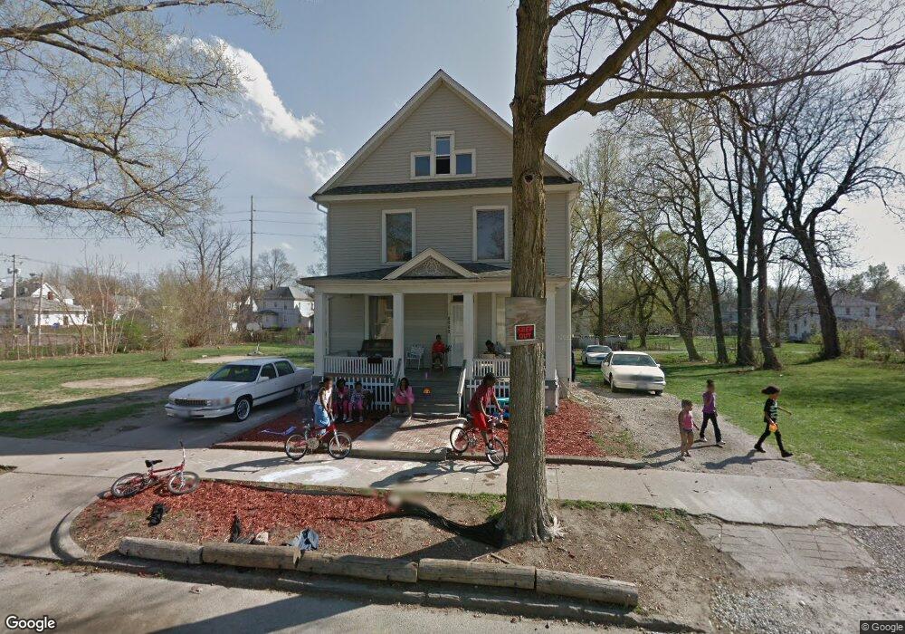
1039 W Macon St Decatur, IL 62522
Near West NeighborhoodEstimated Value: $41,000 - $96,000
--
Bed
--
Bath
968
Sq Ft
$67/Sq Ft
Est. Value
About This Home
This home is located at 1039 W Macon St, Decatur, IL 62522 and is currently estimated at $64,466, approximately $66 per square foot. 1039 W Macon St is a home located in Macon County with nearby schools including Dennis Lab School, St. Patrick School, and Teen Challenge-Home For Girls.
Ownership History
Date
Name
Owned For
Owner Type
Purchase Details
Closed on
Aug 15, 2023
Sold by
Hendrian Andrew R
Bought by
Jackson Shareika S
Current Estimated Value
Purchase Details
Closed on
Oct 17, 2017
Sold by
Macon County Clerk
Bought by
Hundrian Andrew R
Purchase Details
Closed on
Feb 26, 2014
Sold by
Price Joan
Bought by
Jackson Shareika
Create a Home Valuation Report for This Property
The Home Valuation Report is an in-depth analysis detailing your home's value as well as a comparison with similar homes in the area
Home Values in the Area
Average Home Value in this Area
Purchase History
| Date | Buyer | Sale Price | Title Company |
|---|---|---|---|
| Jackson Shareika S | $10,500 | None Listed On Document | |
| Jackson Shareika S | $10,500 | None Listed On Document | |
| Hundrian Andrew R | -- | -- | |
| Jackson Shareika | $20,000 | None Available |
Source: Public Records
Tax History Compared to Growth
Tax History
| Year | Tax Paid | Tax Assessment Tax Assessment Total Assessment is a certain percentage of the fair market value that is determined by local assessors to be the total taxable value of land and additions on the property. | Land | Improvement |
|---|---|---|---|---|
| 2024 | $1,232 | $18,727 | $1,616 | $17,111 |
| 2023 | $1,798 | $18,064 | $1,559 | $16,505 |
| 2022 | $1,713 | $16,750 | $1,477 | $15,273 |
| 2021 | $992 | $15,642 | $1,379 | $14,263 |
| 2020 | $695 | $11,822 | $1,315 | $10,507 |
| 2019 | $695 | $11,822 | $1,315 | $10,507 |
| 2018 | $1,246 | $11,861 | $1,319 | $10,542 |
| 2017 | $1,276 | $12,177 | $1,354 | $10,823 |
| 2016 | $1,300 | $12,301 | $1,368 | $10,933 |
| 2015 | $1,235 | $12,084 | $1,344 | $10,740 |
| 2014 | $632 | $11,965 | $1,331 | $10,634 |
| 2013 | $624 | $12,414 | $1,381 | $11,033 |
Source: Public Records
Map
Nearby Homes
- 1005 W Main St
- 899 W Main St
- 657 W Wood St
- 958 W William St
- 712 W Main St
- 612 W Macon St
- 617 W Decatur St
- 650 S Crea St
- 628 W Forest Ave
- 254 N Pine St
- 636 S Sycamore St
- 1391 W Decatur St
- 609 W William St
- 426 S Mcclellan St
- 437 Powers Ln
- 450 W Macon St
- 440 W Macon St
- 1448 W Forest Ave
- 452 W Prairie Ave
- 530 Powers Ln
- 1049 W Macon St
- 1033 W Macon St
- 1034 W Macon St
- 1023 W Macon St
- 1055 W Macon St
- 1059 W Macon St
- 1063 W Macon St
- 1026 W Macon St
- 1042 W Decatur St
- 1038 W Decatur St
- 1034 W Decatur St
- 1071 W Macon St
- 1022 W Macon St
- 1026 W Decatur St
- 1075 W Macon St
- 1012 W Macon St
- 1002 W Macon St
- 1037 W Wood St
- 1043 W Wood St
- 341 S Haworth Ave