10391 Tom Frost Rd Catawissa, MO 63015
Estimated Value: $355,000 - $389,352
3
Beds
2
Baths
1,678
Sq Ft
$221/Sq Ft
Est. Value
About This Home
This home is located at 10391 Tom Frost Rd, Catawissa, MO 63015 and is currently estimated at $371,117, approximately $221 per square foot. 10391 Tom Frost Rd is a home located in Jefferson County with nearby schools including Northwest High School.
Ownership History
Date
Name
Owned For
Owner Type
Purchase Details
Closed on
Apr 28, 2017
Sold by
Page Anthony W and Page Donna L
Bought by
Tom Drost Llc
Current Estimated Value
Purchase Details
Closed on
May 5, 2011
Sold by
Belt Robert N and Belt Debra
Bought by
Page Anthony W and Page Donna L
Purchase Details
Closed on
Jun 22, 2007
Sold by
Holland Howard D and Holland Nancy J
Bought by
Belt Robert N and Belt Debra
Home Financials for this Owner
Home Financials are based on the most recent Mortgage that was taken out on this home.
Original Mortgage
$308,750
Interest Rate
6.37%
Mortgage Type
Purchase Money Mortgage
Purchase Details
Closed on
Apr 25, 2003
Sold by
Baumgarth William M and Baumgarth Laurie
Bought by
Holland Howard D and Holland Nancy J
Home Financials for this Owner
Home Financials are based on the most recent Mortgage that was taken out on this home.
Original Mortgage
$180,000
Interest Rate
5.74%
Mortgage Type
Purchase Money Mortgage
Create a Home Valuation Report for This Property
The Home Valuation Report is an in-depth analysis detailing your home's value as well as a comparison with similar homes in the area
Home Values in the Area
Average Home Value in this Area
Purchase History
| Date | Buyer | Sale Price | Title Company |
|---|---|---|---|
| Tom Drost Llc | -- | None Available | |
| Page Anthony W | -- | Integrity Land Title Co Inc | |
| Belt Robert N | -- | Investors Title Co | |
| Holland Howard D | -- | Old Republic Title Company |
Source: Public Records
Mortgage History
| Date | Status | Borrower | Loan Amount |
|---|---|---|---|
| Previous Owner | Belt Robert N | $308,750 | |
| Previous Owner | Holland Howard D | $180,000 |
Source: Public Records
Tax History Compared to Growth
Tax History
| Year | Tax Paid | Tax Assessment Tax Assessment Total Assessment is a certain percentage of the fair market value that is determined by local assessors to be the total taxable value of land and additions on the property. | Land | Improvement |
|---|---|---|---|---|
| 2025 | $2,508 | $35,800 | $2,800 | $33,000 |
| 2024 | $2,508 | $33,100 | $2,800 | $30,300 |
| 2023 | $2,508 | $33,100 | $2,800 | $30,300 |
| 2022 | $2,498 | $33,100 | $2,800 | $30,300 |
| 2021 | $2,473 | $33,100 | $2,800 | $30,300 |
| 2020 | $2,295 | $29,800 | $2,600 | $27,200 |
| 2019 | $2,294 | $29,800 | $2,600 | $27,200 |
| 2018 | $2,288 | $29,800 | $2,600 | $27,200 |
| 2017 | $2,179 | $29,800 | $2,600 | $27,200 |
| 2016 | $2,037 | $27,842 | $2,642 | $25,200 |
| 2015 | $1,899 | $27,842 | $2,642 | $25,200 |
| 2013 | $1,899 | $27,700 | $2,500 | $25,200 |
Source: Public Records
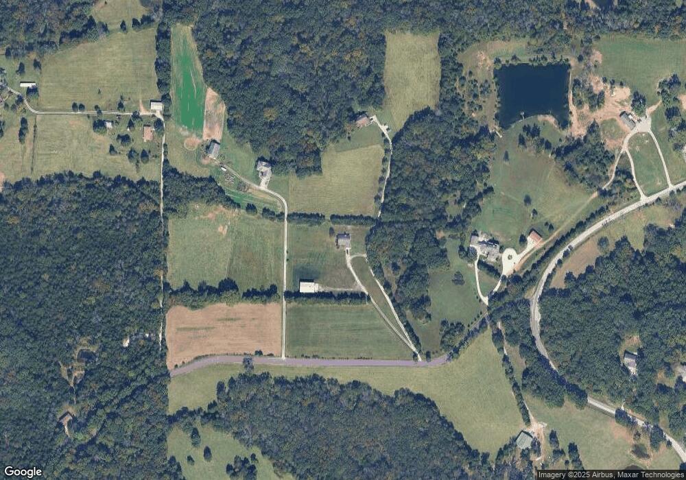
Map
Nearby Homes
- 970 Honeyridge Rd
- 10723 Calvey Hills Rd
- 10725 Calvey Hills Rd
- 196 Dunn Rd
- 525 Micah Rd
- 4487 Deer Run
- 2 Canter Creek Farms
- 358 Rock Church Rd
- 6105 Eime Rd
- 3858 Lindenwood Ct
- 1 Canter Creek Farms
- 3846 Oak Hill Rd
- 5193 Athlone Ct
- 7033 Meadow View Dr
- 0 Oak Hill Rd
- 3830 Redwood Ln
- 3956 & 3960 Redbud Dr
- 5563 E Anding Dr
- 0 Red Bud Unit MIS25053128
- 126 Calvey Estates Dr
- 10375 Tom Frost Rd
- 10347 Tom Frost Rd
- 10311 Tom Frost Rd
- 10401 Tom Frost Rd
- 10447 Tom Frost Rd
- 9911 State Road Nn
- 5357 State Road Nn
- 10407 Tom Frost Rd
- 10409 Tom Frost Rd
- 9905 State Road Nn
- 5335 Highway Nn
- 5959 Sawdust Trail
- 97002 Byrnesville Rd
- 97001 Byrnesville Rd
- 9795 Byrnesville Rd
- 5363 Viehland Farm Rd
- 5945 Sawdust Trail
- 9818 Highway Nn
- 5281 State Road Nn
- 10514 Tom Frost Rd