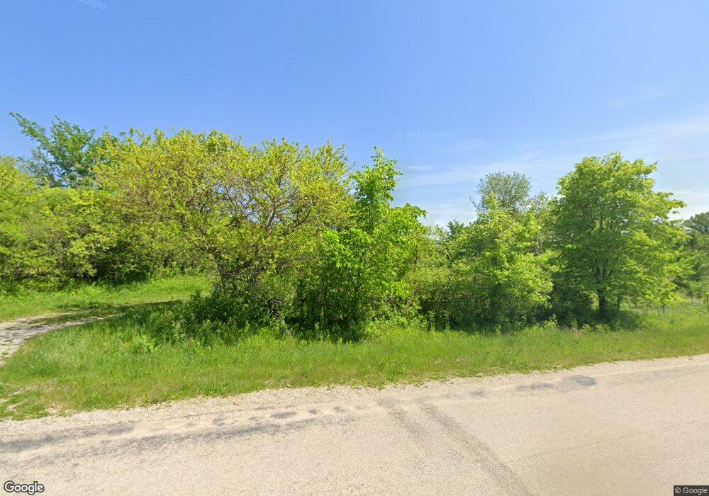
10393 Zion Rd Savanna, IL 61074
Estimated Value: $75,000 - $190,000
2
Beds
1
Bath
1,253
Sq Ft
$95/Sq Ft
Est. Value
About This Home
This home is located at 10393 Zion Rd, Savanna, IL 61074 and is currently estimated at $119,214, approximately $95 per square foot. 10393 Zion Rd is a home.
Ownership History
Date
Name
Owned For
Owner Type
Purchase Details
Closed on
Aug 8, 2001
Bought by
Swisher Charles L and Swisher Patricia
Current Estimated Value
Create a Home Valuation Report for This Property
The Home Valuation Report is an in-depth analysis detailing your home's value as well as a comparison with similar homes in the area
Home Values in the Area
Average Home Value in this Area
Purchase History
| Date | Buyer | Sale Price | Title Company |
|---|---|---|---|
| Swisher Charles L | $180,000 | -- |
Source: Public Records
Tax History Compared to Growth
Tax History
| Year | Tax Paid | Tax Assessment Tax Assessment Total Assessment is a certain percentage of the fair market value that is determined by local assessors to be the total taxable value of land and additions on the property. | Land | Improvement |
|---|---|---|---|---|
| 2024 | $702 | $17,667 | $4,072 | $13,595 |
| 2023 | $702 | $15,762 | $3,893 | $11,869 |
| 2022 | $1,181 | $15,615 | $3,746 | $11,869 |
| 2021 | $1,204 | $15,706 | $3,837 | $11,869 |
| 2020 | $1,211 | $15,615 | $3,746 | $11,869 |
| 2019 | $1,235 | $15,791 | $3,746 | $12,045 |
| 2018 | $1,247 | $15,791 | $3,746 | $12,045 |
| 2017 | $2,182 | $15,791 | $3,746 | $12,045 |
| 2016 | $2,973 | $33,124 | $8,083 | $25,041 |
| 2015 | $3,045 | $34,571 | $8,083 | $26,488 |
| 2014 | $3,027 | $32,641 | $6,153 | $26,488 |
| 2013 | $3,027 | $32,371 | $5,883 | $26,488 |
Source: Public Records
Map
Nearby Homes
