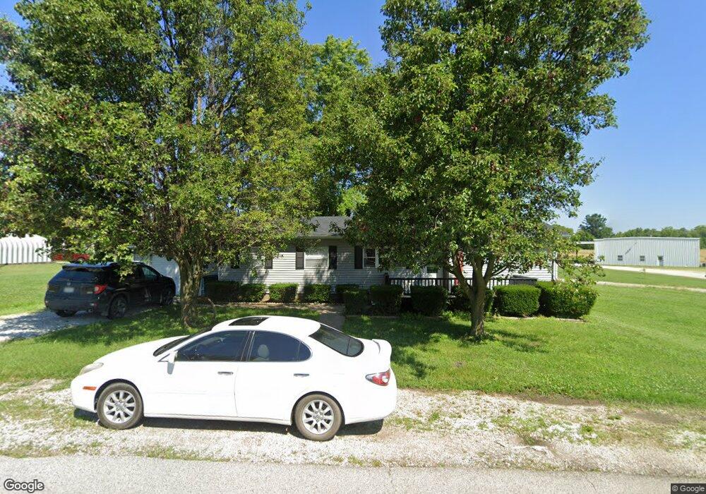
104 3rd St Pilot Grove, MO 65276
Estimated Value: $49,801 - $178,000
3
Beds
2
Baths
1,127
Sq Ft
$106/Sq Ft
Est. Value
About This Home
This home is located at 104 3rd St, Pilot Grove, MO 65276 and is currently estimated at $119,267, approximately $105 per square foot. 104 3rd St is a home located in Cooper County with nearby schools including Pilot Grove Elementary School and Pilot Grove High School.
Ownership History
Date
Name
Owned For
Owner Type
Purchase Details
Closed on
Aug 5, 2021
Sold by
Michael Conway J
Bought by
John E Schibi Jr Revocable Trust
Current Estimated Value
Purchase Details
Closed on
Dec 18, 2017
Sold by
Rizor Ruth Ann and Graves Marvin L
Bought by
Ghenault Wesley A and Chenault Kristen M
Home Financials for this Owner
Home Financials are based on the most recent Mortgage that was taken out on this home.
Original Mortgage
$14,201
Interest Rate
3.95%
Mortgage Type
Future Advance Clause Open End Mortgage
Purchase Details
Closed on
Jun 12, 2008
Sold by
Kempf Joanna E
Bought by
Rizor Ruth Ann
Create a Home Valuation Report for This Property
The Home Valuation Report is an in-depth analysis detailing your home's value as well as a comparison with similar homes in the area
Purchase History
| Date | Buyer | Sale Price | Title Company |
|---|---|---|---|
| John E Schibi Jr Revocable Trust | $21,100 | None Listed On Document | |
| Ghenault Wesley A | -- | None Available | |
| Rizor Ruth Ann | -- | -- |
Source: Public Records
Mortgage History
| Date | Status | Borrower | Loan Amount |
|---|---|---|---|
| Previous Owner | Ghenault Wesley A | $14,201 |
Source: Public Records
Tax History
| Year | Tax Paid | Tax Assessment Tax Assessment Total Assessment is a certain percentage of the fair market value that is determined by local assessors to be the total taxable value of land and additions on the property. | Land | Improvement |
|---|---|---|---|---|
| 2025 | $305 | $4,240 | $0 | $0 |
| 2024 | $305 | $4,070 | $0 | $0 |
| 2023 | $293 | $4,070 | $0 | $0 |
| 2022 | $275 | $4,070 | $0 | $0 |
| 2021 | $267 | $3,950 | $0 | $0 |
| 2020 | $285 | $3,950 | $0 | $0 |
| 2019 | $282 | $3,950 | $0 | $3,950 |
| 2018 | $242 | $3,950 | $0 | $3,950 |
| 2017 | $249 | $3,380 | $0 | $3,380 |
| 2016 | -- | $3,380 | $0 | $0 |
| 2015 | -- | $3,380 | $0 | $0 |
| 2011 | -- | $3,380 | $0 | $0 |
Source: Public Records
Map
Nearby Homes
- 110 3rd St
- 208 College St
- 500 4th St
- 13985 N Hwy
- TBD Hwy Nn
- 14292 Missouri 5
- 0 M Hwy
- 13169 Destrehan Ct
- LOT 91 Madewood Rd
- 15685 Highway 5
- 0 Ferry Rd
- LOT 1 Ferry Rd
- LOT 2 Ferry Rd
- 250ac Tbd Z Hwy
- Tbd Hwy Z
- LOT 205 Mid-America Industrial Ct
- LOT 202 Mid-America Industrial Ct
- LOT 17A Mid-America Industrial Ct
- LOT 16 Mid-America Industrial Ct
- 220 Acres M L Ferry Rd
Your Personal Tour Guide
Ask me questions while you tour the home.