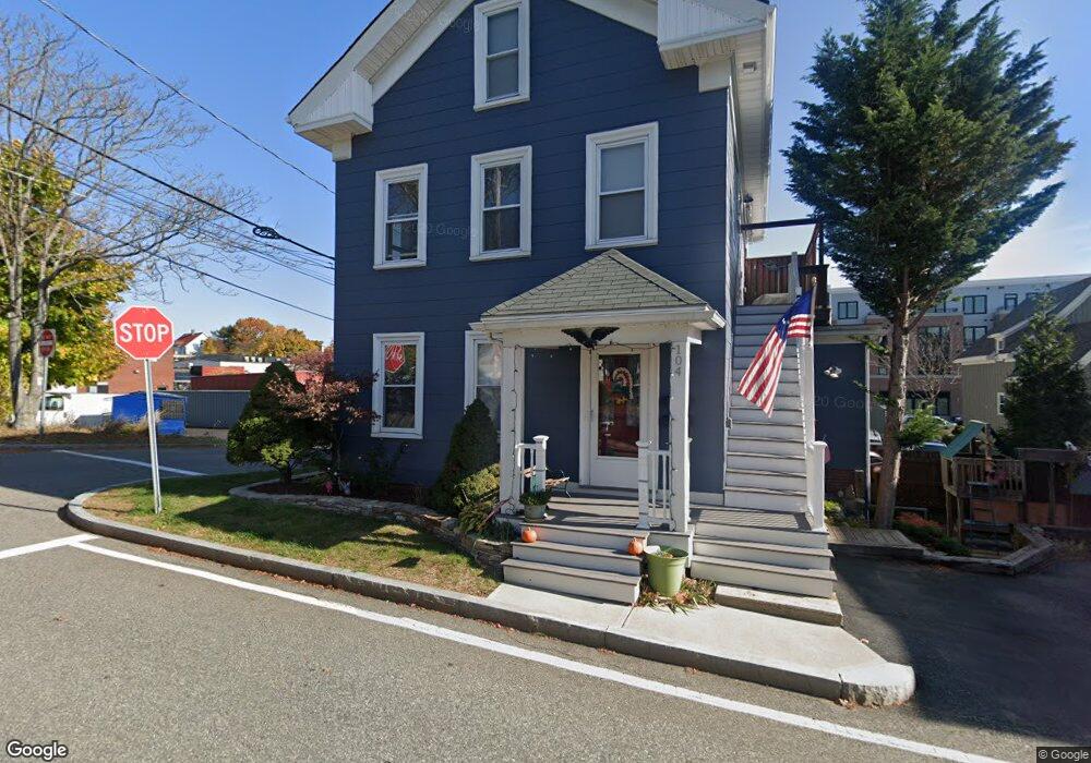
104 Ash St Reading, MA 01867
Estimated Value: $692,000 - $770,001
4
Beds
1
Bath
1,776
Sq Ft
$415/Sq Ft
Est. Value
About This Home
This home is located at 104 Ash St, Reading, MA 01867 and is currently estimated at $737,500, approximately $415 per square foot. 104 Ash St is a home located in Middlesex County with nearby schools including Birch Meadow Elementary School, Walter S. Parker Middle School, and Reading Memorial High School.
Ownership History
Date
Name
Owned For
Owner Type
Purchase Details
Closed on
Feb 1, 1996
Sold by
Smh Rt and Hodson
Bought by
Nicholls Scott E and Mccullough Linda
Current Estimated Value
Home Financials for this Owner
Home Financials are based on the most recent Mortgage that was taken out on this home.
Original Mortgage
$99,912
Interest Rate
7.25%
Mortgage Type
Purchase Money Mortgage
Create a Home Valuation Report for This Property
The Home Valuation Report is an in-depth analysis detailing your home's value as well as a comparison with similar homes in the area
Home Values in the Area
Average Home Value in this Area
Purchase History
| Date | Buyer | Sale Price | Title Company |
|---|---|---|---|
| Nicholls Scott E | $100,000 | -- |
Source: Public Records
Mortgage History
| Date | Status | Borrower | Loan Amount |
|---|---|---|---|
| Open | Nicholls Scott E | $112,475 | |
| Closed | Nicholls Scott E | $99,912 | |
| Previous Owner | Nicholls Scott E | $35,000 |
Source: Public Records
Tax History
| Year | Tax Paid | Tax Assessment Tax Assessment Total Assessment is a certain percentage of the fair market value that is determined by local assessors to be the total taxable value of land and additions on the property. | Land | Improvement |
|---|---|---|---|---|
| 2025 | $7,765 | $681,700 | $393,500 | $288,200 |
| 2024 | $7,674 | $654,800 | $378,000 | $276,800 |
| 2023 | $7,433 | $590,400 | $340,800 | $249,600 |
| 2022 | $7,154 | $536,700 | $309,800 | $226,900 |
| 2021 | $5,379 | $508,100 | $292,800 | $215,300 |
| 2020 | $6,858 | $491,600 | $283,300 | $208,300 |
| 2019 | $6,643 | $466,800 | $269,000 | $197,800 |
| 2018 | $5,108 | $427,600 | $246,400 | $181,200 |
| 2017 | $4,778 | $413,100 | $238,100 | $175,000 |
| 2016 | $4,947 | $341,200 | $204,900 | $136,300 |
| 2015 | $4,778 | $325,000 | $195,200 | $129,800 |
| 2014 | $4,562 | $309,500 | $185,900 | $123,600 |
Source: Public Records
Map
Nearby Homes
- 69 Ash St
- 48 Village St Unit 1001
- 5 Washington St Unit D4
- 5 Washington St Unit A5
- 90 Sunnyside Ave
- 20 Pinevale Ave
- 241 Main St Unit C3
- 141 Belmont St
- 41 Winter St
- 101 King St Unit 101
- 27 Audubon Rd
- 50 Quannapowitt Pkwy
- 80 Redfield Rd
- 2 Summit Dr Unit 43
- 403 Gazebo Cir
- 1014 Gazebo Cir Unit 1014
- 311 Gazebo Cir Unit 311
- 1 Summit Dr Unit 57
- 430 West St
- 16 Munroe Ave
- 114 Ash St
- 114 Ash St Unit 2
- 114 Ash St Unit 1
- 494 Main St
- 484 Main St Unit 1
- 484 Main St
- 87 Ash St
- 89 Ash St Unit 89
- 35 Green St Unit 4
- 35 Green St Unit 8
- 81 Ash St
- 77 Ash St
- 34 Green St
- 34 Green St Unit 2
- 83 Ash St
- 505 Main St
- 467 Main St
- 475 Main St Unit 4008
- 475 Main St Unit 4002
- 475 Main St Unit 4004
Your Personal Tour Guide
Ask me questions while you tour the home.