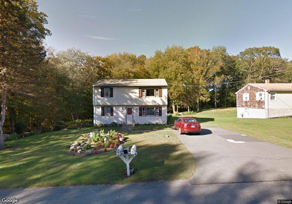
104 Benoit St Unit 106 Westport, MA 02790
North Westport NeighborhoodEstimated Value: $376,000 - $471,000
3
Beds
--
Bath
1,666
Sq Ft
$255/Sq Ft
Est. Value
About This Home
This home is located at 104 Benoit St Unit 106, Westport, MA 02790 and is currently estimated at $425,217, approximately $255 per square foot. 104 Benoit St Unit 106 is a home located in Bristol County with nearby schools including Alice A. Macomber Primary School, Westport Elementary School, and Westport Middle-High School.
Ownership History
Date
Name
Owned For
Owner Type
Purchase Details
Closed on
Oct 1, 2018
Sold by
Roberts Beverly A
Bought by
Roberts Michael J and Roberts Beverly A
Current Estimated Value
Purchase Details
Closed on
Aug 27, 1998
Sold by
Bienvenue Grace A
Bought by
Roberts Beverly H
Home Financials for this Owner
Home Financials are based on the most recent Mortgage that was taken out on this home.
Original Mortgage
$80,000
Interest Rate
6.9%
Mortgage Type
Purchase Money Mortgage
Create a Home Valuation Report for This Property
The Home Valuation Report is an in-depth analysis detailing your home's value as well as a comparison with similar homes in the area
Home Values in the Area
Average Home Value in this Area
Purchase History
| Date | Buyer | Sale Price | Title Company |
|---|---|---|---|
| Roberts Michael J | -- | -- | |
| Roberts Beverly H | $125,000 | -- |
Source: Public Records
Mortgage History
| Date | Status | Borrower | Loan Amount |
|---|---|---|---|
| Previous Owner | Roberts Beverly H | $64,000 | |
| Previous Owner | Roberts Beverly H | $80,000 |
Source: Public Records
Tax History
| Year | Tax Paid | Tax Assessment Tax Assessment Total Assessment is a certain percentage of the fair market value that is determined by local assessors to be the total taxable value of land and additions on the property. | Land | Improvement |
|---|---|---|---|---|
| 2025 | $2,721 | $365,300 | $158,900 | $206,400 |
| 2024 | $2,562 | $331,400 | $147,200 | $184,200 |
| 2023 | $2,519 | $308,700 | $140,200 | $168,500 |
| 2022 | $2,549 | $300,600 | $140,200 | $160,400 |
| 2021 | $2,481 | $287,800 | $127,400 | $160,400 |
| 2020 | $2,344 | $278,000 | $122,300 | $155,700 |
| 2019 | $2,205 | $266,600 | $111,200 | $155,400 |
| 2018 | $2,171 | $265,700 | $112,300 | $153,400 |
| 2017 | $2,097 | $263,100 | $108,700 | $154,400 |
| 2016 | $1,922 | $243,000 | $105,100 | $137,900 |
| 2015 | $1,929 | $243,200 | $107,500 | $135,700 |
Source: Public Records
Map
Nearby Homes
- 82-84 O Dr
- 85 Watuppa Rd
- 9 Register Ave
- 100 D Dr
- 11 Harrison Ct
- 0 Hertitage Acres
- 6 Beaulieu St
- 25 Beaulieu St
- 0 Tickle Rd Unit 73453134
- 771 Sanford Rd
- 116 Gifford Rd
- 47 Devol Ave
- 71 Blackbird St
- 37 Bluejay St
- 84 Lark Ln
- 206 Songbird Ln
- 51 Newton St
- 3 Blackbird St
- 128 Old Bedford Rd
- 343 Old Bedford Rd
- 112 Benoit St
- 116 Benoit St
- 113 Benoit St
- 120 Benoit St
- 117 Benoit St
- 37 E Morency Ave
- 10 Estrella Ln Unit lane
- 10 Estrella Ln
- 91 Benoit St Unit 93
- 33 Thomas St
- 109 Thomas St
- 35 Thomas St
- 88 Benoit St
- 23 Thomas St
- 87 Benoit St Unit 89
- 16 Estrella Ln
- 32 Thomas St
- 35 E Morency Ave
- 84 Benoit St
- 83-85 Benoit St Unit 2
Your Personal Tour Guide
Ask me questions while you tour the home.