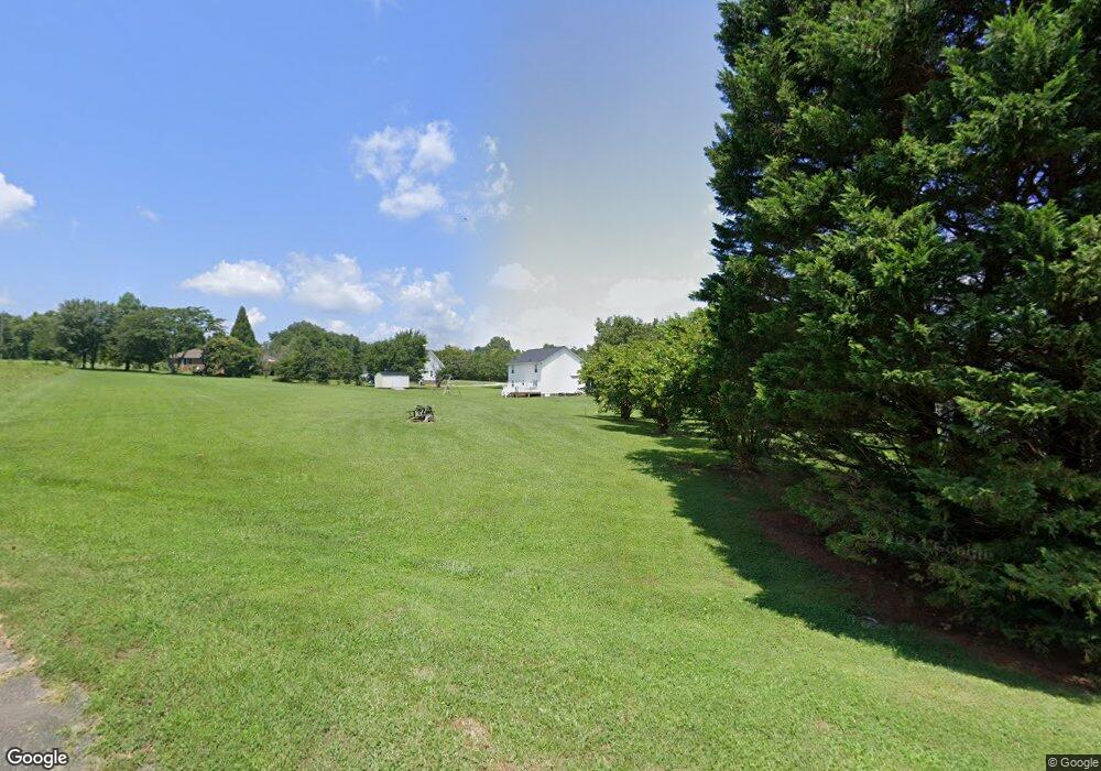
104 Bess Goforth Rd Kings Mountain, NC 28086
Estimated Value: $31,512 - $361,000
--
Bed
--
Bath
--
Sq Ft
0.97
Acres
About This Home
This home is located at 104 Bess Goforth Rd, Kings Mountain, NC 28086 and is currently estimated at $203,171. 104 Bess Goforth Rd is a home located in Cleveland County with nearby schools including Washington Elementary School, Burns Middle, and Burns High School.
Ownership History
Date
Name
Owned For
Owner Type
Purchase Details
Closed on
Nov 4, 2024
Sold by
Top Gun Properties Llc
Bought by
Flyboy Properties Llc
Current Estimated Value
Purchase Details
Closed on
Oct 21, 2016
Sold by
Porchlight Llc
Bought by
Top Gun Properties Llc
Purchase Details
Closed on
Aug 28, 2015
Sold by
Edwards Brian D and Edwards Polly H
Bought by
Porchlight Llc
Purchase Details
Closed on
May 25, 2011
Sold by
Goforth Sophia K
Bought by
Crawford Robert Reid
Create a Home Valuation Report for This Property
The Home Valuation Report is an in-depth analysis detailing your home's value as well as a comparison with similar homes in the area
Home Values in the Area
Average Home Value in this Area
Purchase History
| Date | Buyer | Sale Price | Title Company |
|---|---|---|---|
| Flyboy Properties Llc | -- | None Listed On Document | |
| Flyboy Properties Llc | -- | None Listed On Document | |
| Flyboy Properties Llc | -- | None Listed On Document | |
| Top Gun Properties Llc | $3,000 | None Available | |
| Porchlight Llc | $2,000 | None Available | |
| Crawford Robert Reid | -- | None Available |
Source: Public Records
Tax History Compared to Growth
Tax History
| Year | Tax Paid | Tax Assessment Tax Assessment Total Assessment is a certain percentage of the fair market value that is determined by local assessors to be the total taxable value of land and additions on the property. | Land | Improvement |
|---|---|---|---|---|
| 2025 | -- | $18,876 | $18,876 | $0 |
| 2024 | $126 | $15,846 | $15,846 | $0 |
| 2023 | $125 | $15,846 | $15,846 | $0 |
| 2022 | $125 | $15,846 | $15,846 | $0 |
| 2021 | $126 | $15,846 | $15,846 | $0 |
| 2020 | $131 | $15,846 | $15,846 | $0 |
| 2019 | $131 | $15,846 | $15,846 | $0 |
| 2018 | $0 | $15,846 | $15,846 | $0 |
| 2017 | $130 | $15,846 | $15,846 | $0 |
| 2016 | $125 | $15,846 | $15,846 | $0 |
| 2015 | $114 | $14,405 | $14,405 | $0 |
| 2014 | $114 | $14,405 | $14,405 | $0 |
Source: Public Records
Map
Nearby Homes
- 111 Bottom Rd
- 00 Bottom Rd Unit 1
- 00 Bottom Rd Unit 2
- 122 Bottom Rd
- 3005 Vernell Ln
- 111 Tarheel Dr
- 107 Muirfield Dr
- 107 Pinelake Dr
- 956 Stony Point Rd
- 3202 Marshall Wolfe Rd
- 160 Quail Hollow Dr
- 102 Starmount Dr
- 106 Candlewood Dr
- 167 Harbor Point Dr
- 108 Three Oaks Ln
- 100 Deep Creek Dr
- 106 Fabian Dr Unit 17
- 101 Deep Creek Dr
- 301 Harbor View Dr Unit 9
- 153 Harbourtown Dr
- 108 Coleman Goforth Farm Rd
- 100 Bess Goforth Rd
- 104 Coleman Goforth Farm Rd Unit 30
- 100 Coleman Goforth Farm Rd
- 100 Coleman Goforth Farm Rd Unit 29
- 107 Coleman Goforth Farm Rd
- 101 Bess Goforth Rd
- 105 Bess Goforth Rd Unit 36
- 1235 Stoney Point Rd
- 100 Bottom Rd
- 104 Lizzie Ln Unit 23
- 1301 Stony Point Rd
- 1233 Stoney Point Rd
- 113 Coleman Goforth Farm Rd
- 1231 Stoney Point Rd
- 101 Woodcove Ln
- 120 Coleman Goforth Farm Rd
- 105 Bottom Rd
- 106 Lizzie Ln
- 3038 Vernell Ln