104 Bolton St Concord, MA 01742
Estimated Value: $1,069,000 - $1,459,746
3
Beds
3
Baths
3,400
Sq Ft
$372/Sq Ft
Est. Value
About This Home
This home is located at 104 Bolton St, Concord, MA 01742 and is currently estimated at $1,264,687, approximately $371 per square foot. 104 Bolton St is a home located in Middlesex County with nearby schools including Willard School, Concord Middle School, and Corwin-Russell School at Broccoli Hall.
Ownership History
Date
Name
Owned For
Owner Type
Purchase Details
Closed on
Oct 9, 2013
Sold by
Rv 104 Bolton St Llc
Bought by
Ricker Evan and Ricker Mara
Current Estimated Value
Purchase Details
Closed on
Apr 10, 2009
Sold by
Ring Michael J and Childs Ruth L
Bought by
Rv 104 Bolton Street L
Create a Home Valuation Report for This Property
The Home Valuation Report is an in-depth analysis detailing your home's value as well as a comparison with similar homes in the area
Home Values in the Area
Average Home Value in this Area
Purchase History
| Date | Buyer | Sale Price | Title Company |
|---|---|---|---|
| Ricker Evan | $375,000 | -- | |
| Rv 104 Bolton Street L | $266,250 | -- |
Source: Public Records
Tax History Compared to Growth
Tax History
| Year | Tax Paid | Tax Assessment Tax Assessment Total Assessment is a certain percentage of the fair market value that is determined by local assessors to be the total taxable value of land and additions on the property. | Land | Improvement |
|---|---|---|---|---|
| 2025 | $177 | $1,337,800 | $522,400 | $815,400 |
| 2024 | $17,681 | $1,346,600 | $522,400 | $824,200 |
| 2023 | $16,619 | $1,282,300 | $497,600 | $784,700 |
| 2022 | $15,632 | $1,059,100 | $398,000 | $661,100 |
| 2021 | $14,994 | $1,018,600 | $398,000 | $620,600 |
| 2020 | $14,631 | $1,028,200 | $398,000 | $630,200 |
| 2019 | $13,744 | $968,600 | $386,400 | $582,200 |
| 2018 | $13,311 | $931,500 | $351,300 | $580,200 |
| 2017 | $13,289 | $944,500 | $358,400 | $586,100 |
| 2016 | $12,108 | $869,800 | $358,400 | $511,400 |
| 2015 | $5,437 | $380,500 | $309,800 | $70,700 |
Source: Public Records
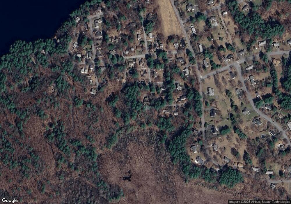
Map
Nearby Homes
- 40 Rookery Ln Unit 5
- 72 Rookery Ln Unit 3
- 24 Rookery Ln Unit 6
- 56 Rookery Ln Unit 4
- 121 White Pond Way Unit 121
- 401 Emery Ln Unit 304
- 42 Dakin Rd
- Lot 5 Sailaway Ln
- 45 N Crescent Cir
- Lot 4 Sailaway Ln
- 2 Betts Way
- 8 Mina Way
- 0 Elm Unit 73282184
- Lot 9 Sailaway Ln
- 4 Betts Way
- 122 Sand Gully Rd N Unit B
- 941 Concord Rd
- 16 Blacksmith Dr
- 37 Wolf Pine Way
- 497 Old Road to 9 Acre Corner