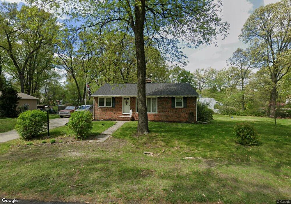
104 Community Ln Mount Laurel, NJ 08054
Estimated Value: $302,684 - $358,000
Studio
--
Bath
1,189
Sq Ft
$272/Sq Ft
Est. Value
About This Home
This home is located at 104 Community Ln, Mount Laurel, NJ 08054 and is currently estimated at $322,921, approximately $271 per square foot. 104 Community Ln is a home located in Burlington County with nearby schools including Fleetwood Elementary School, Mount Laurel Hartford School, and T.E. Harrington Middle School.
Ownership History
Date
Name
Owned For
Owner Type
Purchase Details
Closed on
Jan 26, 2022
Sold by
Le Cann Hilda M
Bought by
Rockhill Ashley and Tenney Daniel
Current Estimated Value
Home Financials for this Owner
Home Financials are based on the most recent Mortgage that was taken out on this home.
Original Mortgage
$168,000
Outstanding Balance
$156,001
Interest Rate
3.55%
Mortgage Type
New Conventional
Estimated Equity
$166,920
Purchase Details
Closed on
Oct 5, 2016
Sold by
Cann Hilda M
Bought by
Cann George W and Cann Timothy M
Purchase Details
Closed on
Feb 7, 1958
Bought by
Cann Hilda M
Create a Home Valuation Report for This Property
The Home Valuation Report is an in-depth analysis detailing your home's value as well as a comparison with similar homes in the area
Home Values in the Area
Average Home Value in this Area
Purchase History
| Date | Buyer | Sale Price | Title Company |
|---|---|---|---|
| Rockhill Ashley | $210,000 | Allied Title | |
| Cann George W | -- | None Available | |
| Cann Hilda M | $13,300 | -- |
Source: Public Records
Mortgage History
| Date | Status | Borrower | Loan Amount |
|---|---|---|---|
| Open | Rockhill Ashley | $168,000 |
Source: Public Records
Tax History
| Year | Tax Paid | Tax Assessment Tax Assessment Total Assessment is a certain percentage of the fair market value that is determined by local assessors to be the total taxable value of land and additions on the property. | Land | Improvement |
|---|---|---|---|---|
| 2025 | $5,225 | $165,500 | $78,000 | $87,500 |
| 2024 | $5,028 | $165,500 | $78,000 | $87,500 |
| 2023 | $5,028 | $165,500 | $78,000 | $87,500 |
| 2021 | $4,667 | $165,500 | $78,000 | $87,500 |
| 2020 | $4,821 | $165,500 | $78,000 | $87,500 |
| 2019 | $4,771 | $165,500 | $78,000 | $87,500 |
| 2018 | $4,735 | $165,500 | $78,000 | $87,500 |
| 2017 | $4,362 | $165,500 | $78,000 | $87,500 |
| 2016 | $4,293 | $165,500 | $78,000 | $87,500 |
| 2015 | $4,240 | $165,500 | $78,000 | $87,500 |
| 2014 | $4,195 | $165,500 | $78,000 | $87,500 |
Source: Public Records
Map
Nearby Homes
- 601 Tallowood Ln
- 512 Garden Way
- 514 Foxwood Dr
- 5 Birch Dr
- 336 Larch Rd
- 45 Stratford Ln
- 861 Centerton Rd
- 11 Evergreen Rd
- 10 Crows Nest Ct
- 40 Compass Cir
- 5105 Halifax Way Unit 5105
- 5108 Halifax Way Unit 5108
- 1904B Saxony Dr Unit 1904
- 5203A Adelaide Dr
- 4204B Adelaide Dr
- 4102B Adelaide Dr Unit 4102B
- 3907 Saxony Dr Unit 3907
- 472 Monte Farm Rd
- 3190B Neils Ct
- 3522B Neils Ct Unit 3522B
- 104 Independence Ln
- 105 Community Ln
- 500 Masonville Rd
- 283 Creek Rd
- 504 Masonville Rd
- 279 Creek Rd
- 109 Independence Ln
- 446 Masonville Rd
- 289 Creek Rd
- 287-289 Creek Rd
- 508 Masonville Rd
- 508 Masonville Rd
- 287 Creek Rd Unit 289
- 116 Independence Ln
- 275 Creek Rd
- 510 Masonville Rd
- 113 Independence Ln
- 100 Memorial Ln
- 120 Independence Ln
- 441 Masonville Rd Unit 443
Your Personal Tour Guide
Ask me questions while you tour the home.