Estimated Value: $162,000 - $216,000
2
Beds
2
Baths
1,080
Sq Ft
$174/Sq Ft
Est. Value
About This Home
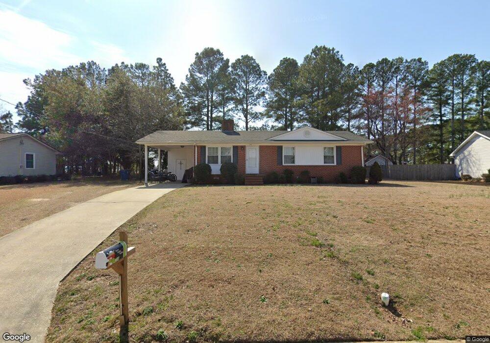
This home is located at 104 Daisy St, Dunn, NC 28334 and is currently estimated at $187,395, approximately $173 per square foot. 104 Daisy St is a home located in Harnett County with nearby schools including Dunn Elementary School, Dunn Middle School, and Triton High School.
Ownership History
Date
Name
Owned For
Owner Type
Purchase Details
Closed on
Jun 7, 2017
Sold by
Wbb Enterprises Llc
Bought by
Naylor Robert
Current Estimated Value
Home Financials for this Owner
Home Financials are based on the most recent Mortgage that was taken out on this home.
Original Mortgage
$235,000
Outstanding Balance
$195,631
Interest Rate
4.05%
Mortgage Type
Purchase Money Mortgage
Estimated Equity
-$8,236
Purchase Details
Closed on
Jul 27, 2011
Sold by
Birk Thomas L and Birk Linda
Bought by
Wbb Enterprises Llc
Create a Home Valuation Report for This Property
The Home Valuation Report is an in-depth analysis detailing your home's value as well as a comparison with similar homes in the area
Home Values in the Area
Average Home Value in this Area
Purchase History
| Date | Buyer | Sale Price | Title Company |
|---|---|---|---|
| Naylor Robert | $60,000 | None Available | |
| Wbb Enterprises Llc | $29,000 | -- |
Source: Public Records
Mortgage History
| Date | Status | Borrower | Loan Amount |
|---|---|---|---|
| Open | Naylor Robert | $235,000 |
Source: Public Records
Tax History
| Year | Tax Paid | Tax Assessment Tax Assessment Total Assessment is a certain percentage of the fair market value that is determined by local assessors to be the total taxable value of land and additions on the property. | Land | Improvement |
|---|---|---|---|---|
| 2025 | $1,793 | $130,710 | $0 | $0 |
| 2024 | $1,749 | $130,710 | $0 | $0 |
| 2023 | $1,697 | $130,710 | $0 | $0 |
| 2022 | $1,263 | $130,710 | $0 | $0 |
| 2021 | $1,263 | $86,610 | $0 | $0 |
| 2020 | $1,263 | $86,610 | $0 | $0 |
| 2019 | $1,231 | $86,610 | $0 | $0 |
| 2018 | $1,248 | $86,610 | $0 | $0 |
| 2017 | $1,248 | $86,610 | $0 | $0 |
| 2016 | $1,116 | $76,920 | $0 | $0 |
| 2015 | -- | $76,920 | $0 | $0 |
| 2014 | -- | $76,920 | $0 | $0 |
Source: Public Records
Map
Nearby Homes
- 100 Martin St
- 219 Crescent Dr
- 128 Crescent Dr
- 1116 Friendly Rd
- 396 Riley Vann Ln
- 1108 Friendly Rd
- 103 Byrd Dr
- 0 W Cumberland St Unit 10097343
- 116 Jones Dr
- 303 N Watauga Ave
- 1210 Guy Ave
- 209 N Watauga Ave
- 202 N Wayne Ave
- 311 Marlowe Dr
- 113 Joy St
- 1006 W Divine St
- 1004 W Divine St
- 1101 W Divine St
- 711 Memorial Ave
- 1842 N Ellis Ave
- 106 Daisy St
- 102 Daisy St
- 103 Daisy St
- 300 Westfield Dr
- 204 Westfield Dr
- 105 Daisy St
- 309 Village Square Dr
- 307 Village Square Dr
- 703 Westfield Dr
- 302 Westfield Dr
- 202 Westfield Dr
- 311 Village Square Dr
- 305 Village Square Dr
- 303 Westfield Dr
- 301 Westfield Dr
- 315 Village Square Dr
- 305 Westfield Dr
- 300 Village Square Dr
- 108 Westfield Dr
- 102 Violet Dr
Your Personal Tour Guide
Ask me questions while you tour the home.