104 Drumm St Moyock, NC 27958
Estimated Value: $346,000 - $369,677
2
Beds
2
Baths
1,776
Sq Ft
$202/Sq Ft
Est. Value
About This Home
This home is located at 104 Drumm St, Moyock, NC 27958 and is currently estimated at $359,419, approximately $202 per square foot. 104 Drumm St is a home located in Currituck County with nearby schools including Shawboro Elementary School, Moyock Middle School, and Currituck County High School.
Ownership History
Date
Name
Owned For
Owner Type
Purchase Details
Closed on
Mar 9, 2006
Sold by
White Harry R and White Carol L
Bought by
Whitlow Dewey C and Whitlow Peggy J
Current Estimated Value
Purchase Details
Closed on
Sep 14, 2005
Sold by
Fagan Glenna L and Murdzia Glenna L
Bought by
Benson Adam J and Benson Donna M
Home Financials for this Owner
Home Financials are based on the most recent Mortgage that was taken out on this home.
Original Mortgage
$198,000
Interest Rate
5.77%
Mortgage Type
New Conventional
Create a Home Valuation Report for This Property
The Home Valuation Report is an in-depth analysis detailing your home's value as well as a comparison with similar homes in the area
Home Values in the Area
Average Home Value in this Area
Purchase History
| Date | Buyer | Sale Price | Title Company |
|---|---|---|---|
| Whitlow Dewey C | $150,000 | None Available | |
| Benson Adam J | -- | None Available |
Source: Public Records
Mortgage History
| Date | Status | Borrower | Loan Amount |
|---|---|---|---|
| Previous Owner | Benson Adam J | $198,000 |
Source: Public Records
Tax History
| Year | Tax Paid | Tax Assessment Tax Assessment Total Assessment is a certain percentage of the fair market value that is determined by local assessors to be the total taxable value of land and additions on the property. | Land | Improvement |
|---|---|---|---|---|
| 2025 | $2,322 | $274,000 | $54,800 | $219,200 |
| 2024 | $2,322 | $274,000 | $54,800 | $219,200 |
| 2023 | $2,347 | $274,000 | $54,800 | $219,200 |
| 2022 | $1,831 | $274,000 | $54,800 | $219,200 |
| 2021 | $1,823 | $187,700 | $39,300 | $148,400 |
| 2020 | $1,169 | $187,700 | $39,300 | $148,400 |
| 2019 | $1,146 | $187,700 | $39,300 | $148,400 |
| 2018 | $1,149 | $187,700 | $39,300 | $148,400 |
| 2017 | $1,128 | $187,700 | $39,300 | $148,400 |
| 2016 | $1,133 | $187,700 | $39,300 | $148,400 |
| 2015 | $1,139 | $187,700 | $39,300 | $148,400 |
Source: Public Records
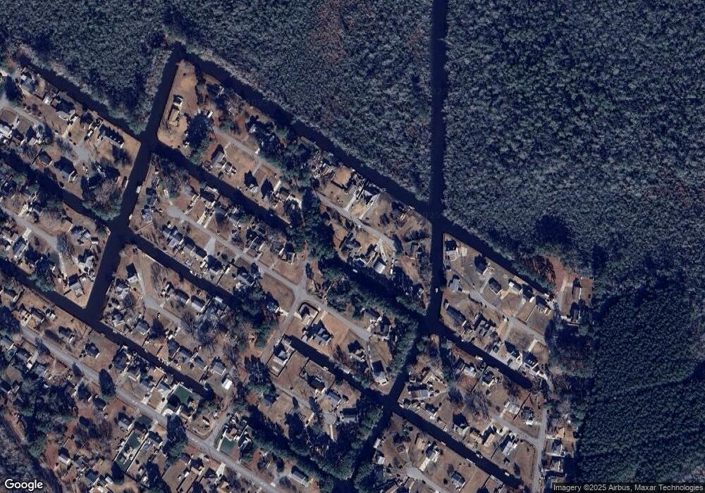
Map
Nearby Homes
- 100 Barracuda St
- 105 Barracuda St
- 105 Barracuda St Unit lot 49
- 1079 Tulls Creek Rd
- 108 Rosedale Ct
- 111 Rosedale Ct Unit Lot 9
- 111 Rosedale Ct
- 104 Briton Way Unit Lot 64
- 104 Briton Way
- 401 Guinea Rd
- 128 Gables Place
- 201 Farmstead Loop
- 105 Farmridge Way Unit Lot 153
- 107 Farmridge Way
- 203 Farmstead Loop
- 101 Avocet Path
- 104 Steppeside Ln
- Mm Northern Pine (Derring Ii) Dr
- 50+AC Poyners Rd
- TBD Poyners Rd
Your Personal Tour Guide
Ask me questions while you tour the home.