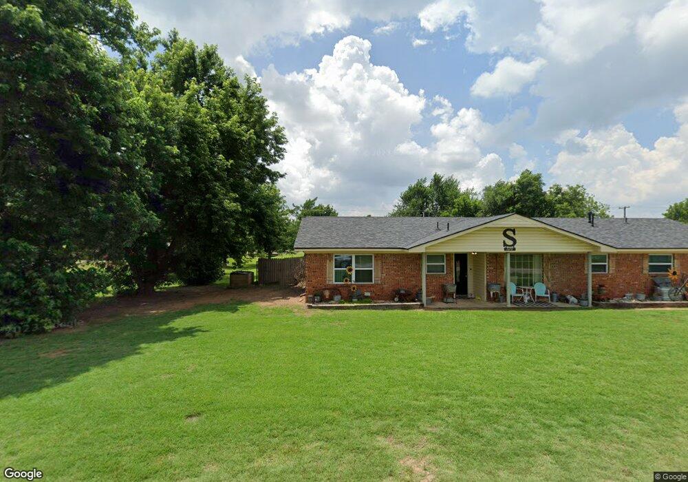
104 E Tenneppe Fletcher, OK 73541
Estimated Value: $227,000 - $269,433
3
Beds
2
Baths
1,900
Sq Ft
$130/Sq Ft
Est. Value
About This Home
This home is located at 104 E Tenneppe, Fletcher, OK 73541 and is currently estimated at $247,358, approximately $130 per square foot. 104 E Tenneppe is a home located in Comanche County with nearby schools including Fletcher Elementary School and Fletcher High School.
Ownership History
Date
Name
Owned For
Owner Type
Purchase Details
Closed on
Oct 12, 2017
Sold by
Maggard Aron and Maggard Kari
Bought by
Smith Travis and Smith Lauren
Current Estimated Value
Home Financials for this Owner
Home Financials are based on the most recent Mortgage that was taken out on this home.
Original Mortgage
$108,000
Outstanding Balance
$90,210
Interest Rate
3.82%
Mortgage Type
New Conventional
Estimated Equity
$157,148
Purchase Details
Closed on
Mar 23, 2012
Sold by
Cox Rex A
Bought by
Maggard Aron
Home Financials for this Owner
Home Financials are based on the most recent Mortgage that was taken out on this home.
Original Mortgage
$119,004
Interest Rate
3.97%
Mortgage Type
VA
Create a Home Valuation Report for This Property
The Home Valuation Report is an in-depth analysis detailing your home's value as well as a comparison with similar homes in the area
Home Values in the Area
Average Home Value in this Area
Purchase History
| Date | Buyer | Sale Price | Title Company |
|---|---|---|---|
| Smith Travis | $135,000 | None Available | |
| Maggard Aron | $165,500 | None Available |
Source: Public Records
Mortgage History
| Date | Status | Borrower | Loan Amount |
|---|---|---|---|
| Open | Smith Travis | $108,000 | |
| Previous Owner | Maggard Aron | $119,004 |
Source: Public Records
Tax History Compared to Growth
Tax History
| Year | Tax Paid | Tax Assessment Tax Assessment Total Assessment is a certain percentage of the fair market value that is determined by local assessors to be the total taxable value of land and additions on the property. | Land | Improvement |
|---|---|---|---|---|
| 2024 | $1,475 | $19,380 | $1,653 | $17,727 |
| 2023 | $1,475 | $15,772 | $1,653 | $14,119 |
| 2022 | $1,291 | $15,772 | $1,653 | $14,119 |
| 2021 | $1,339 | $16,157 | $1,653 | $14,504 |
| 2020 | $1,289 | $15,388 | $1,653 | $13,735 |
| 2019 | $1,236 | $14,715 | $1,661 | $13,054 |
| 2018 | $1,307 | $15,367 | $1,661 | $13,706 |
| 2017 | $1,124 | $13,433 | $1,661 | $11,772 |
| 2016 | $1,149 | $13,640 | $1,661 | $11,979 |
| 2015 | $1,162 | $13,773 | $465 | $13,308 |
| 2014 | $1,099 | $13,117 | $465 | $12,652 |
Source: Public Records
Map
Nearby Homes
- 414 N East Dr
- 203 Parkview Dr
- 505 S East Dr
- 506 S East Dr
- 351 Weaver Way
- 334 Weaver Way
- 358 Weaver Way
- 602 Cedar Ridge Rd
- 13551 Timber Creek Cir
- 13571 Timber Creek Cir
- 13494 Timber Creek Loop Unit 3
- 13510 Timber Creek Loop Unit 27
- 13474 Timber Creek Loop Unit 7
- 36 NE Jack Rabbit Dr
- 13707 NE Kleeman Rd
- 13453 NE Kleeman Rd
- 12365 NE Stone Ridge Ln
- 11225 NE Marigold Ln
- 13427 NE Kleeman Rd
- 13777 NE Dillan Ln
- 601 Hallwood
- 102 E Tenneppe
- 105 E Tenneppe
- 105 E Tenneppe
- 105 E Tenneppe
- 103 E Tenneppe
- 103 E Tenneppee
- 201 E Cole Ave
- 103 N East Dr
- 12394 NE Stone Ridge Ln
- 12115 NE Stone Ridge Ln
- 12366 NE Stone Ridge Ln
- 12366 NE Stone Ridge Ln
- 12338 NE Stone Ridge Ln
- 104 E Shields St
- 101 W Tenneppe
- 102 E Cole Ave
- 203 1/2 E Cole Ave
- 108 E Shields St
- 101 W Cole Ave