104 Fire Tower Rd Pomfret Center, CT 06259
Estimated Value: $339,336 - $480,000
3
Beds
2
Baths
1,656
Sq Ft
$246/Sq Ft
Est. Value
About This Home
This home is located at 104 Fire Tower Rd, Pomfret Center, CT 06259 and is currently estimated at $406,584, approximately $245 per square foot. 104 Fire Tower Rd is a home with nearby schools including Eastford Elementary School.
Ownership History
Date
Name
Owned For
Owner Type
Purchase Details
Closed on
May 4, 2005
Sold by
Hustus David F and Hustus Christine E
Bought by
Campagna Ralph T and Campagna Donna L
Current Estimated Value
Create a Home Valuation Report for This Property
The Home Valuation Report is an in-depth analysis detailing your home's value as well as a comparison with similar homes in the area
Home Values in the Area
Average Home Value in this Area
Purchase History
| Date | Buyer | Sale Price | Title Company |
|---|---|---|---|
| Campagna Ralph T | $225,000 | -- |
Source: Public Records
Mortgage History
| Date | Status | Borrower | Loan Amount |
|---|---|---|---|
| Closed | Campagna Ralph T | $60,000 | |
| Open | Campagna Ralph T | $198,500 | |
| Closed | Campagna Ralph T | $100,000 |
Source: Public Records
Tax History
| Year | Tax Paid | Tax Assessment Tax Assessment Total Assessment is a certain percentage of the fair market value that is determined by local assessors to be the total taxable value of land and additions on the property. | Land | Improvement |
|---|---|---|---|---|
| 2025 | $3,522 | $166,110 | $32,130 | $133,980 |
| 2024 | $3,272 | $166,110 | $32,130 | $133,980 |
| 2023 | $3,425 | $124,540 | $30,600 | $93,940 |
| 2022 | $3,269 | $124,540 | $30,600 | $93,940 |
| 2021 | $3,238 | $124,540 | $30,600 | $93,940 |
| 2020 | $3,189 | $124,540 | $30,600 | $93,940 |
| 2019 | $3,189 | $124,540 | $30,600 | $93,940 |
| 2018 | $3,087 | $118,220 | $27,500 | $90,720 |
| 2017 | $3,087 | $118,220 | $27,500 | $90,720 |
| 2016 | $2,969 | $118,220 | $27,500 | $90,720 |
| 2015 | $2,969 | $118,220 | $27,500 | $90,720 |
| 2014 | $2,932 | $118,220 | $27,500 | $90,720 |
Source: Public Records
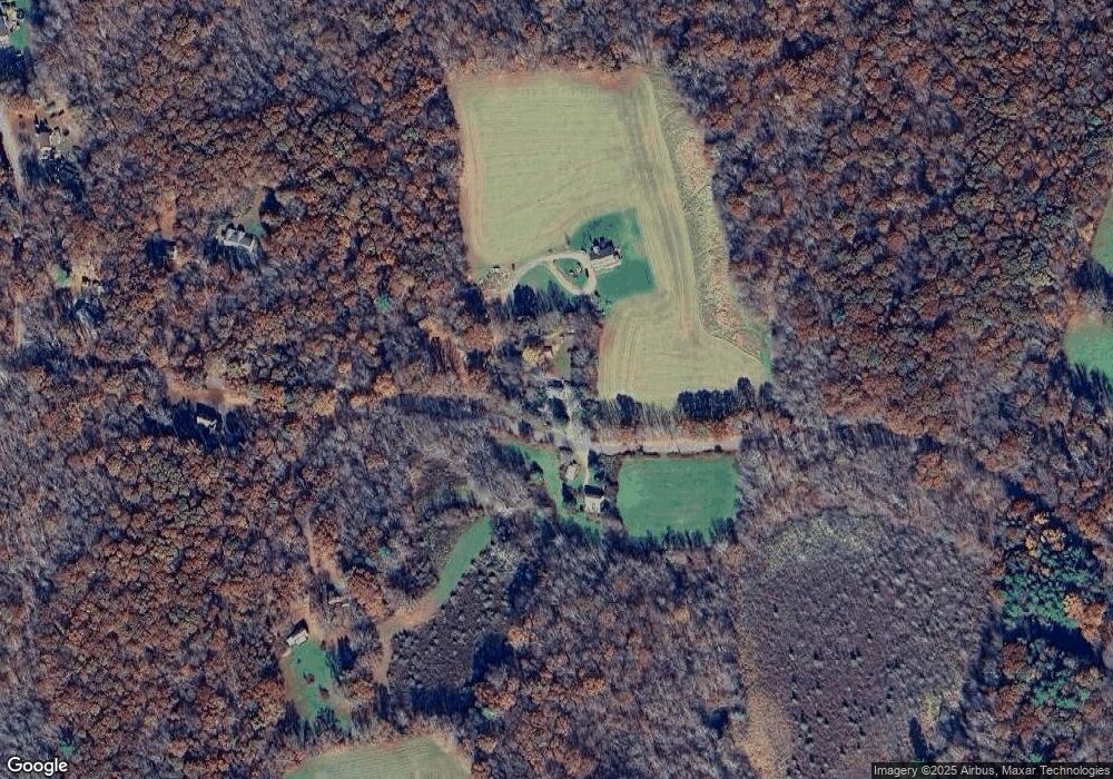
Map
Nearby Homes
- 0 Boston Turnpike
- 41 Millbridge Rd
- 187 Old Colony Rd
- 89 John Perry Rd
- 22 Westford Rd
- 455 Brayman Hollow Rd
- 64 Westford Rd
- 815 Mashamoquet Rd
- 70 Brayman Hollow Rd
- 113A Paine Rd
- 402 Perrin Rd
- 70 Hawkins Rd
- 204 Paine Rd
- 239 Barlow Cemetery Rd
- 00 Mashamoquet Rd
- 7 Nahaco Hill Ln
- 118 Ashford Rd Unit 3
- 187 Chaplin Rd
- 11 Cheney Rd
- 123 Ashford Rd Unit 1
- 108 Fire Tower Rd
- 121 Fire Tower Rd
- 122 Fire Tower Rd
- 146 Fire Tower Rd
- 136 Fire Tower Rd
- 161 Boston Turnpike
- 136 Fire Tower Rd
- 140 Fire Tower Rd
- 165 Boston Turnpike
- 69 Fire Tower Rd
- 5 Abington Rd
- 152 Fire Tower Rd
- 139 Fire Tower Rd
- 143 Fire Tower Rd
- 159 Boston Turnpike
- 147 Fire Tower Rd
- 152 Fire Tower Rd
- 155 Boston Turnpike
- 155 Boston Turnpike
- 149 Boston Turnpike
Your Personal Tour Guide
Ask me questions while you tour the home.