104 Ford St Unit C Methuen, MA 01844
The East End NeighborhoodEstimated Value: $225,000 - $296,000
2
Beds
1
Bath
798
Sq Ft
$334/Sq Ft
Est. Value
About This Home
This home is located at 104 Ford St Unit C, Methuen, MA 01844 and is currently estimated at $266,163, approximately $333 per square foot. 104 Ford St Unit C is a home located in Essex County with nearby schools including Timony Grammar School, Methuen High School, and Community Day Charter Public School - Gateway.
Ownership History
Date
Name
Owned For
Owner Type
Purchase Details
Closed on
Aug 28, 2008
Sold by
Ata Latife H
Bought by
Ata Latife H and Ata Elie Ibrahim
Current Estimated Value
Home Financials for this Owner
Home Financials are based on the most recent Mortgage that was taken out on this home.
Original Mortgage
$61,740
Outstanding Balance
$40,839
Interest Rate
6.49%
Mortgage Type
Purchase Money Mortgage
Estimated Equity
$225,324
Purchase Details
Closed on
Aug 8, 2008
Sold by
Bank Of New York
Bought by
Ata Latife H
Home Financials for this Owner
Home Financials are based on the most recent Mortgage that was taken out on this home.
Original Mortgage
$61,740
Outstanding Balance
$40,839
Interest Rate
6.49%
Mortgage Type
Purchase Money Mortgage
Estimated Equity
$225,324
Purchase Details
Closed on
May 7, 2008
Sold by
Carelli David P
Bought by
Bank Of New York
Create a Home Valuation Report for This Property
The Home Valuation Report is an in-depth analysis detailing your home's value as well as a comparison with similar homes in the area
Home Values in the Area
Average Home Value in this Area
Purchase History
| Date | Buyer | Sale Price | Title Company |
|---|---|---|---|
| Ata Latife H | -- | -- | |
| Ata Latife H | $88,200 | -- | |
| Bank Of New York | $161,550 | -- |
Source: Public Records
Mortgage History
| Date | Status | Borrower | Loan Amount |
|---|---|---|---|
| Open | Ata Latife H | $61,740 |
Source: Public Records
Tax History Compared to Growth
Tax History
| Year | Tax Paid | Tax Assessment Tax Assessment Total Assessment is a certain percentage of the fair market value that is determined by local assessors to be the total taxable value of land and additions on the property. | Land | Improvement |
|---|---|---|---|---|
| 2025 | $2,677 | $253,000 | $0 | $253,000 |
| 2024 | $2,410 | $221,900 | $0 | $221,900 |
| 2023 | $2,025 | $173,100 | $0 | $173,100 |
| 2022 | $2,068 | $158,500 | $0 | $158,500 |
| 2021 | $1,993 | $151,100 | $0 | $151,100 |
| 2020 | $1,728 | $128,600 | $0 | $128,600 |
| 2019 | $1,764 | $124,300 | $0 | $124,300 |
| 2018 | $1,436 | $110,300 | $0 | $110,300 |
| 2017 | $1,427 | $97,400 | $0 | $97,400 |
| 2016 | $1,392 | $94,000 | $0 | $94,000 |
| 2015 | $1,266 | $86,700 | $0 | $86,700 |
Source: Public Records
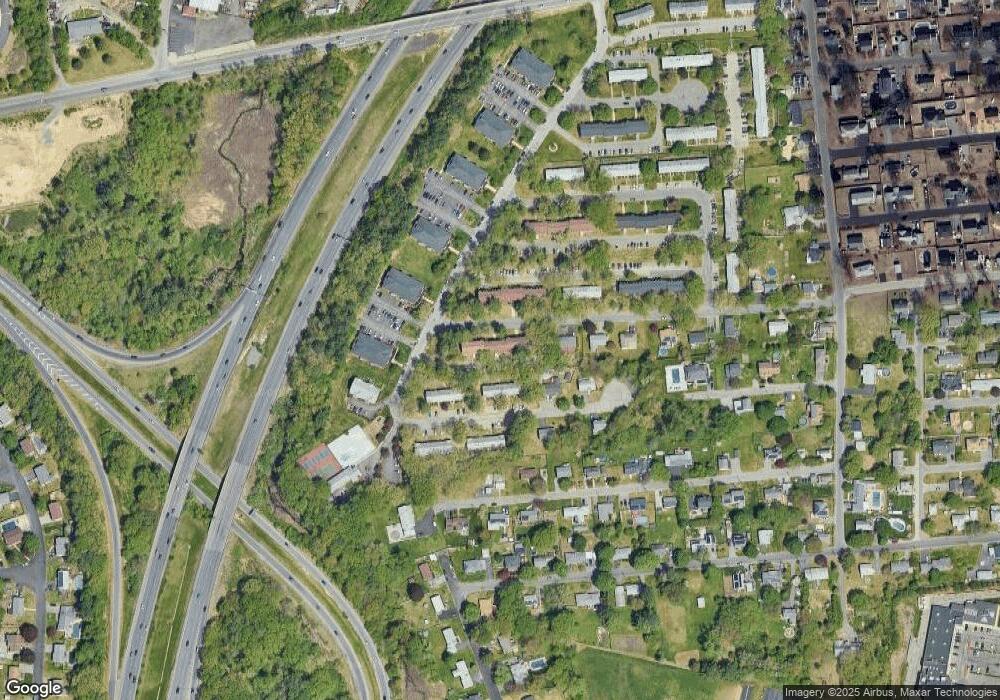
Map
Nearby Homes
- 46 Gaston St
- 23 Constitution Way Unit 23
- 23 Constitution Way
- 95 Pilgrim Cir Unit 95
- 10 Albermarle St
- 331 Merrimack St
- 128 Pleasant Valley St
- 29 Wallace St
- 29 Pitman St
- 22 Derry Rd
- 40 Comet Rd
- 122 Pleasant Valley St
- 48 Wingate Ave
- 26 Oakmeadow Ln
- 36 W Ayer St
- 34 Varnum Ave
- 17 Ferry Rd
- 66 Newbury Ave
- 171 Oak St
- 144 Merrimack St
- 108 Ford St Unit F
- 108 Ford St Unit E
- 108 Ford St Unit D
- 108 Ford St Unit C
- 108 Ford St Unit B
- 108 Ford St Unit A
- 104 Ford St Unit F
- 104 Ford St Unit E
- 104 Ford St Unit D
- 104 Ford St Unit B
- 104 Ford St Unit A
- 108 Ford St Unit c
- 104 Ford St Unit 104
- 108 Ford St Unit B 108
- 112 Ford St Unit F
- 112 Ford St Unit E
- 112 Ford St Unit D
- 112 Ford St Unit C
- 112 Ford St Unit B
- 112 Ford St Unit A