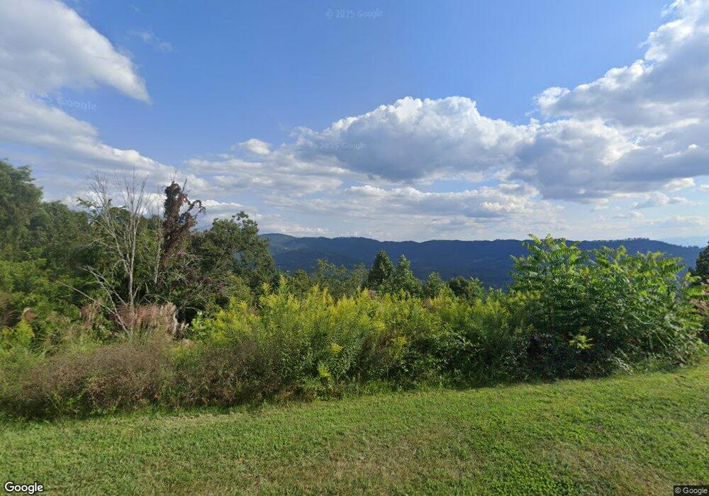
104 Fortress Ridge Weaverville, NC 28787
Estimated Value: $181,764 - $533,000
--
Bed
--
Bath
--
Sq Ft
0.79
Acres
About This Home
This home is located at 104 Fortress Ridge, Weaverville, NC 28787 and is currently estimated at $331,941. 104 Fortress Ridge is a home located in Buncombe County with nearby schools including Weaverville Primary, Weaverville Elementary, and North Buncombe Middle.
Ownership History
Date
Name
Owned For
Owner Type
Purchase Details
Closed on
Jun 4, 2021
Sold by
Gordon Emily
Bought by
Hanby William Richard
Current Estimated Value
Home Financials for this Owner
Home Financials are based on the most recent Mortgage that was taken out on this home.
Original Mortgage
$130,000
Interest Rate
2.9%
Mortgage Type
Seller Take Back
Purchase Details
Closed on
Jun 1, 2018
Sold by
Alford Timothy and Alford Faith
Bought by
Gordon Emily
Purchase Details
Closed on
Nov 17, 2017
Sold by
Gordon Emily
Bought by
Alford Timothy and Alford Faith
Create a Home Valuation Report for This Property
The Home Valuation Report is an in-depth analysis detailing your home's value as well as a comparison with similar homes in the area
Home Values in the Area
Average Home Value in this Area
Purchase History
| Date | Buyer | Sale Price | Title Company |
|---|---|---|---|
| Hanby William Richard | $140,000 | None Available | |
| Gordon Emily | -- | None Available | |
| Alford Timothy | $175,000 | None Available |
Source: Public Records
Mortgage History
| Date | Status | Borrower | Loan Amount |
|---|---|---|---|
| Previous Owner | Hanby William Richard | $130,000 |
Source: Public Records
Tax History Compared to Growth
Tax History
| Year | Tax Paid | Tax Assessment Tax Assessment Total Assessment is a certain percentage of the fair market value that is determined by local assessors to be the total taxable value of land and additions on the property. | Land | Improvement |
|---|---|---|---|---|
| 2025 | $1,392 | $160,400 | $160,400 | -- |
| 2024 | $1,392 | $160,400 | $160,400 | -- |
| 2023 | $1,392 | $160,400 | $160,400 | $0 |
| 2022 | $1,344 | $160,400 | $0 | $0 |
| 2021 | $1,344 | $160,400 | $0 | $0 |
| 2020 | $1,085 | $119,400 | $0 | $0 |
| 2019 | $632 | $119,400 | $0 | $0 |
| 2018 | $632 | $119,400 | $0 | $0 |
| 2017 | $644 | $52,500 | $0 | $0 |
| 2016 | $317 | $52,500 | $0 | $0 |
| 2015 | $317 | $52,500 | $0 | $0 |
| 2014 | $317 | $52,500 | $0 | $0 |
Source: Public Records
Map
Nearby Homes
- 0000 Perrion Ave Unit 18
- 44 Longstreet Ct Unit 5
- 17 Perrion Ave
- 59 Longstreet Ct Unit 10
- 34 Leisure Ln
- 196 Hamburg Mountain Rd
- 17 Sunset Dr
- 6 Shadowbrook Dr
- 37 and 35 Moore St
- 37 Moore St
- 34 East St
- 9 Meadow Glen Dr
- 125 Governor Thomson Terrace Unit 201
- 57 Moore St
- 43 Al Dorf Dr Unit 115
- 88 S Main St
- 84 Union Chapel Rd
- 7 Grove St
- 99999 Union Chapel Rd
- 83 Union Chapel Rd
- 104 Fortress Ridge Unit 13
- 18 Fortress Ridge
- 116 Fortress Ridge
- 7 Fortress Ridge
- 9999 Perrion Ave Unit 7
- 97 Fortress Ridge
- 3 Longstreet Ct Unit 3
- 00 Longstreet Ct Unit 15
- 00 Longstreet Ct Unit 14
- 00 Longstreet Ct Unit 1
- 5 Longstreet Ct Unit 5
- 5 Longstreet Ct Unit 17
- 7 Longstreet Ct Unit 7
- Lot 8 & Longstreet Ct Unit 8 & 9
- 111 Fortress Ridge
- 99999 Fortress Ridge Unit 7
- 10 Longstreet Ct Unit 10
- 6 Longstreet Ct Unit 6
- 4 Longstreet Ct Unit 4
- 2 Longstreet Ct