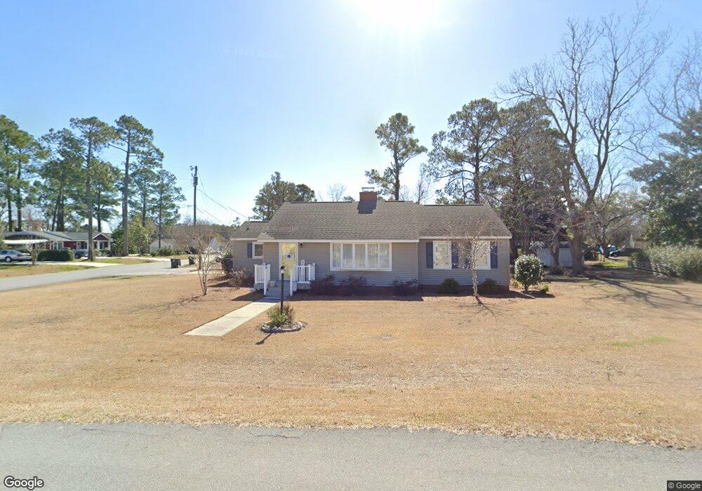
104 George St Beaufort, NC 28516
Estimated Value: $307,000 - $392,000
2
Beds
2
Baths
1,535
Sq Ft
$221/Sq Ft
Est. Value
About This Home
This home is located at 104 George St, Beaufort, NC 28516 and is currently estimated at $339,134, approximately $220 per square foot. 104 George St is a home located in Carteret County with nearby schools including Beaufort Elementary School, Beaufort Middle School, and East Carteret High School.
Ownership History
Date
Name
Owned For
Owner Type
Purchase Details
Closed on
Mar 17, 2021
Sold by
Bowers Umstead Phyllis Mccuiston and Bowers Campbell Joy
Bought by
Fly Garrett Wesley and Fly Haley Garris
Current Estimated Value
Home Financials for this Owner
Home Financials are based on the most recent Mortgage that was taken out on this home.
Original Mortgage
$160,000
Outstanding Balance
$143,429
Interest Rate
2.7%
Mortgage Type
New Conventional
Estimated Equity
$195,705
Create a Home Valuation Report for This Property
The Home Valuation Report is an in-depth analysis detailing your home's value as well as a comparison with similar homes in the area
Home Values in the Area
Average Home Value in this Area
Purchase History
| Date | Buyer | Sale Price | Title Company |
|---|---|---|---|
| Fly Garrett Wesley | $200,000 | None Available |
Source: Public Records
Mortgage History
| Date | Status | Borrower | Loan Amount |
|---|---|---|---|
| Open | Fly Garrett Wesley | $160,000 |
Source: Public Records
Tax History Compared to Growth
Tax History
| Year | Tax Paid | Tax Assessment Tax Assessment Total Assessment is a certain percentage of the fair market value that is determined by local assessors to be the total taxable value of land and additions on the property. | Land | Improvement |
|---|---|---|---|---|
| 2025 | $2,146 | $356,081 | $122,966 | $233,115 |
| 2024 | $1,712 | $180,668 | $64,875 | $115,793 |
| 2023 | $1,617 | $180,668 | $64,875 | $115,793 |
| 2022 | $1,599 | $180,668 | $64,875 | $115,793 |
| 2021 | $1,599 | $180,668 | $64,875 | $115,793 |
| 2020 | $1,599 | $180,668 | $64,875 | $115,793 |
| 2019 | $1,519 | $175,371 | $54,062 | $121,309 |
| 2017 | $1,391 | $175,371 | $54,062 | $121,309 |
| 2016 | $1,313 | $175,371 | $54,062 | $121,309 |
| 2015 | $1,295 | $175,371 | $54,062 | $121,309 |
| 2014 | $1,188 | $172,456 | $58,567 | $113,889 |
Source: Public Records
Map
Nearby Homes
- 203 Sherwood Blvd
- 201-203 Sherwood Blvd
- 201 Sherwood Blvd
- 108 Circle Dr
- 110 Live Oak Commons
- 126 Pine View Blvd
- 120 Pine View Blvd
- 128 Pine View Blvd
- 118 Pine View Blvd
- 208 Fairview Dr
- 109 Freedom Park Rd
- 117 Freedom Park Rd
- 903 Live Oak St
- 121 Freedom Park Rd
- 123 Freedom Park Rd
- 127 Freedom Park Rd
- 199 Highway 101
- 132 Freedom Park Rd
- 805 Mulberry St Unit 104
- 805 Mulberry St Unit 105
- 102 George St
- 1210 Live Oak St
- 200 Sherwood Blvd
- 101 George St
- 103 George St
- 1208 Live Oak St
- 202 Sherwood Blvd
- 121 Ricks Ave
- 201 George St
- 110 Sherwood Blvd
- 206 George St
- 203 George St
- 120 Ricks Ave
- 1305 Live Oak St
- 1206 Live Oak St
- 1301 Live Oak St
- 205 George St
- 1307 Live Oak St
- 108 Sherwood Blvd
- 117 Sherwood Blvd