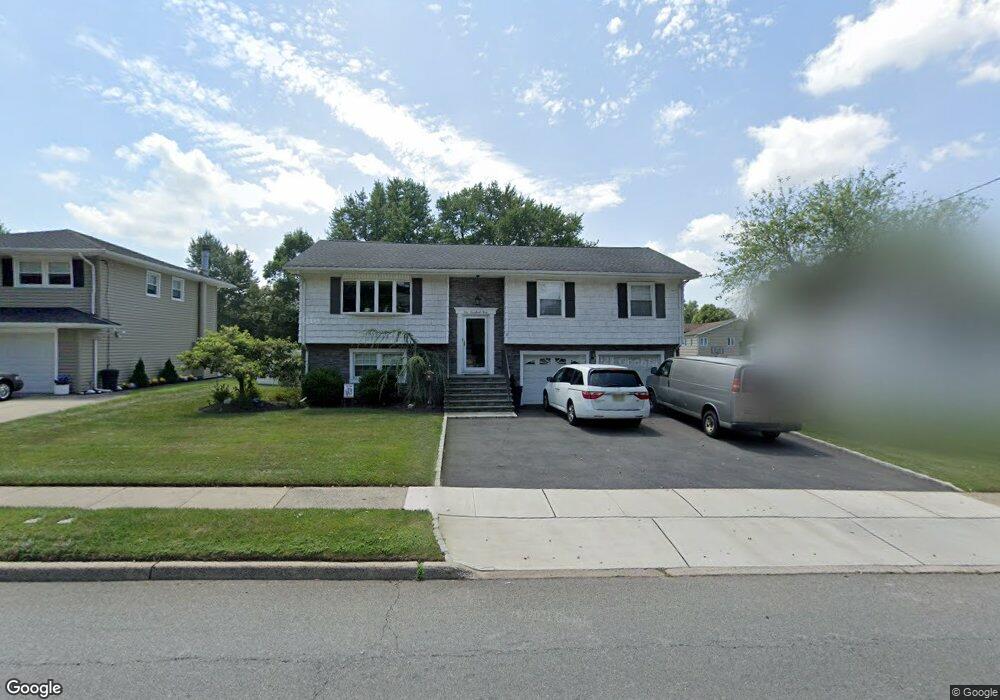
104 Harrison Ave Roseland, NJ 07068
Estimated Value: $699,000 - $926,000
Studio
--
Bath
2,192
Sq Ft
$387/Sq Ft
Est. Value
About This Home
This home is located at 104 Harrison Ave, Roseland, NJ 07068 and is currently estimated at $848,552, approximately $387 per square foot. 104 Harrison Ave is a home located in Essex County with nearby schools including Lester C. Noecker Elementary School, West Essex Middle School, and West Essex High School.
Ownership History
Date
Name
Owned For
Owner Type
Purchase Details
Closed on
Apr 1, 2010
Sold by
Seritello Gary
Bought by
Musano Antonio and Musano Maria Antonieta
Current Estimated Value
Home Financials for this Owner
Home Financials are based on the most recent Mortgage that was taken out on this home.
Original Mortgage
$300,000
Interest Rate
5%
Mortgage Type
Stand Alone First
Purchase Details
Closed on
May 1, 1991
Sold by
Fontoura A Sheriff
Bought by
Seritello Gary
Create a Home Valuation Report for This Property
The Home Valuation Report is an in-depth analysis detailing your home's value as well as a comparison with similar homes in the area
Home Values in the Area
Average Home Value in this Area
Purchase History
| Date | Buyer | Sale Price | Title Company |
|---|---|---|---|
| Musano Antonio | $420,000 | Chicago Title Insurance Co | |
| Seritello Gary | $157,000 | -- |
Source: Public Records
Mortgage History
| Date | Status | Borrower | Loan Amount |
|---|---|---|---|
| Closed | Musano Antonio | $300,000 |
Source: Public Records
Tax History
| Year | Tax Paid | Tax Assessment Tax Assessment Total Assessment is a certain percentage of the fair market value that is determined by local assessors to be the total taxable value of land and additions on the property. | Land | Improvement |
|---|---|---|---|---|
| 2025 | $10,012 | $721,900 | $318,000 | $403,900 |
| 2024 | $10,012 | $721,900 | $318,000 | $403,900 |
Source: Public Records
Map
Nearby Homes
- 34 Lincoln St
- 3 Rutgers Ct
- 194 Eagle Rock Ave
- 27-29 Roseland Ave
- 15 Godfrey Ave
- 331 Roseland Ave
- 319 Roseland Ave
- 192 Eagle Rock Ave
- 48 Bovensiepen Ct
- 2 Holderith Rd
- 5 Beechtree Ln
- 91 Eagle Rock Ave
- 9 Beechtree Ln
- 173 Runnymede Rd
- 34 Brian Rd
- 88 Kent Dr Unit C0176
- 131 Rensselaer Rd
- 146 Passaic Ave
- 142 Passaic Ave
- 356 Fells Rd
- 100 Harrison Ave
- 1 Davenport Ave
- 3 Davenport Ave
- 111 Harrison Ave
- 111A Harrison Ave
- 96 Harrison Ave
- 47 Williamsburg Dr
- 40 Lincoln St
- 115 Harrison Ave
- 92 Harrison Ave
- 49 Williamsburg Dr
- 2 Davenport Ave
- 38 Lincoln St
- 109 Harrison Ave
- 4 Davenport Ave
- 107 Harrison Ave
- 105 Harrison Ave
- 45 Williamsburg Dr
- 6 Davenport Ave
- 36 Lincoln St
Your Personal Tour Guide
Ask me questions while you tour the home.