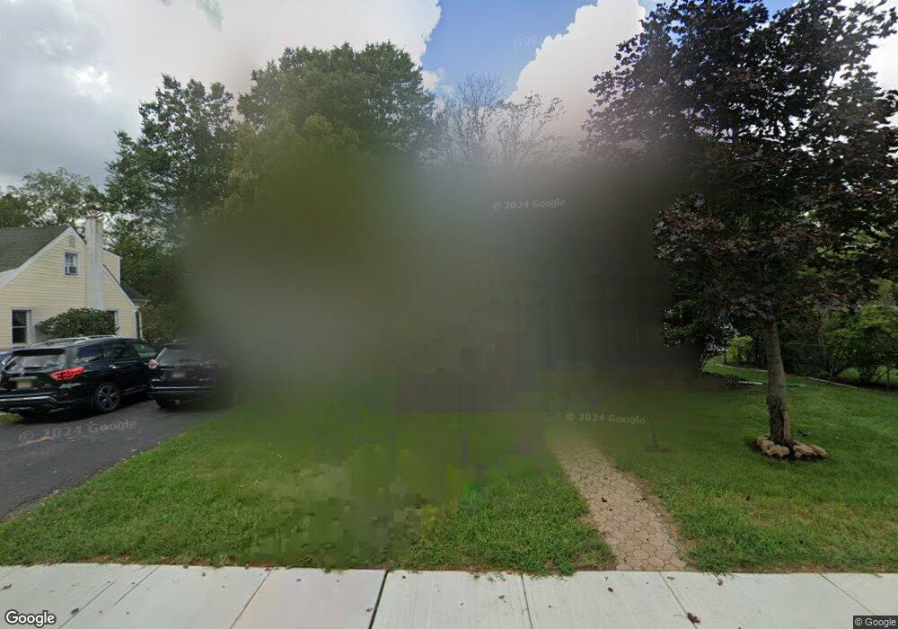
104 Hausser Ave Hightstown, NJ 08520
Estimated Value: $443,062 - $554,000
--
Bed
--
Bath
1,710
Sq Ft
$291/Sq Ft
Est. Value
About This Home
This home is located at 104 Hausser Ave, Hightstown, NJ 08520 and is currently estimated at $498,016, approximately $291 per square foot. 104 Hausser Ave is a home located in Mercer County with nearby schools including Melvin H. Kreps Middle School, Hightstown High School, and SciCore Academy.
Ownership History
Date
Name
Owned For
Owner Type
Purchase Details
Closed on
Dec 6, 2011
Sold by
Hewins David and Hewins Carole Ann
Bought by
Virgo Municipal Finance Fnd Lp
Current Estimated Value
Purchase Details
Closed on
Jul 9, 1999
Sold by
Hewins Charles
Bought by
Hewins David and Hewins Carole
Home Financials for this Owner
Home Financials are based on the most recent Mortgage that was taken out on this home.
Original Mortgage
$55,000
Interest Rate
7.61%
Create a Home Valuation Report for This Property
The Home Valuation Report is an in-depth analysis detailing your home's value as well as a comparison with similar homes in the area
Home Values in the Area
Average Home Value in this Area
Purchase History
| Date | Buyer | Sale Price | Title Company |
|---|---|---|---|
| Virgo Municipal Finance Fnd Lp | $1,119 | None Available | |
| Hewins David | $75,000 | -- |
Source: Public Records
Mortgage History
| Date | Status | Borrower | Loan Amount |
|---|---|---|---|
| Previous Owner | Hewins David | $55,000 |
Source: Public Records
Tax History Compared to Growth
Tax History
| Year | Tax Paid | Tax Assessment Tax Assessment Total Assessment is a certain percentage of the fair market value that is determined by local assessors to be the total taxable value of land and additions on the property. | Land | Improvement |
|---|---|---|---|---|
| 2025 | $11,130 | $227,000 | $92,900 | $134,100 |
| 2024 | $11,016 | $227,000 | $92,900 | $134,100 |
| 2023 | $11,016 | $227,000 | $92,900 | $134,100 |
| 2022 | $10,635 | $227,000 | $92,900 | $134,100 |
| 2021 | $10,251 | $227,000 | $92,900 | $134,100 |
| 2020 | $10,018 | $227,000 | $92,900 | $134,100 |
| 2019 | $9,738 | $227,000 | $92,900 | $134,100 |
| 2018 | $9,455 | $227,000 | $92,900 | $134,100 |
| 2017 | $9,357 | $227,000 | $92,900 | $134,100 |
| 2016 | $9,275 | $227,000 | $92,900 | $134,100 |
| 2015 | $9,216 | $227,000 | $92,900 | $134,100 |
| 2014 | $9,275 | $227,000 | $92,900 | $134,100 |
Source: Public Records
Map
Nearby Homes
- 107 Hausser Ave
- 17 Winchester Dr
- 400 Stockton St
- 365 Stockton St
- 58 Teal Ct
- 102 Teal Ct
- 201 Morrison Ave
- 104 1st Ave
- 145 Lincoln Ave
- 28 Columbia Ave
- 203 Hutchinson St
- 309 Lincoln Ave
- 302 S Main St
- 569 Route 130
- 104 One Mile Rd
- 288 Dutch Neck Rd
- 0 Route 130
- 108 Orchard Ave
- 1 Sterling Ct
- 15 Brownstone Rd
- 106 Hausser Ave
- 387 Morrison Ave
- 385 Morrison Ave
- 389 Morrison Ave
- 389 Morrison Ave
- 6 Geraldine Rd
- 8 Geraldine Rd
- 377 Morrison Ave
- 112 Hausser Ave
- 103 Hausser Ave
- 369 Morrison Ave
- 10 Geraldine Rd
- 1 Allison Rd
- 391 Morrison Ave
- 367 Morrison Ave
- 114 Hausser Ave
- 12 Geraldine Rd
- 3 Allison Rd
- 111 Hausser Ave
- 363 Morrison Ave