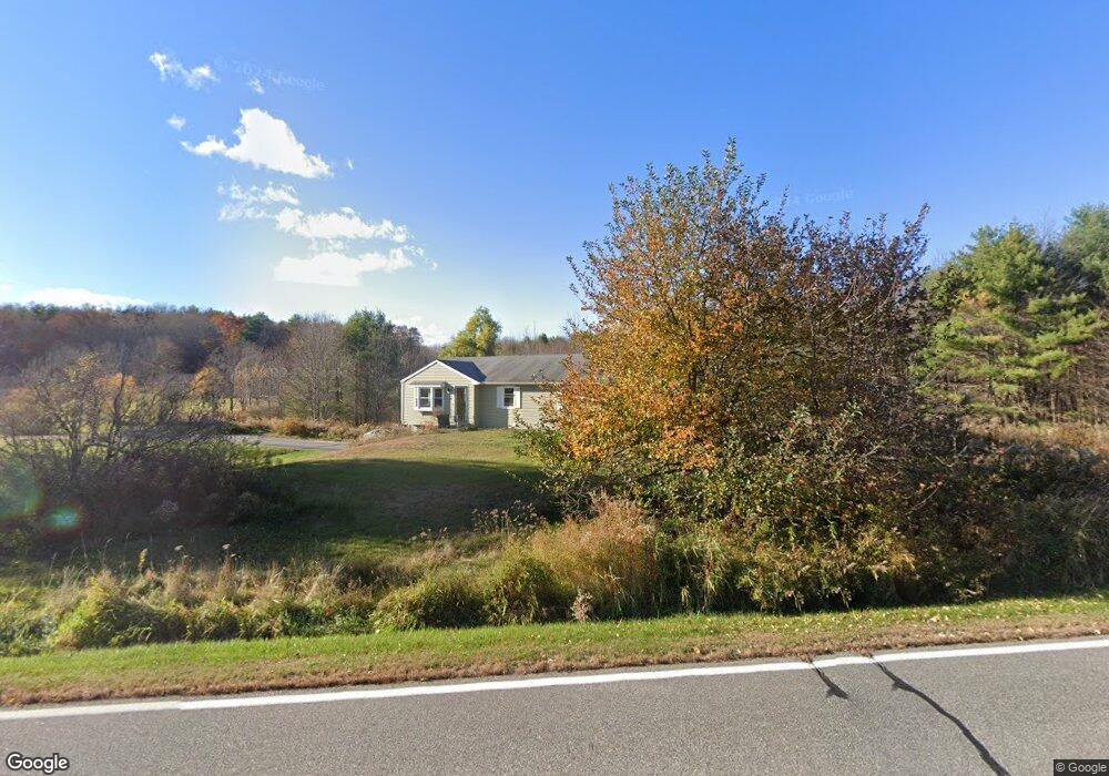
104 Heath Rd Saco, ME 04072
North Saco NeighborhoodEstimated Value: $402,000 - $466,000
3
Beds
1
Bath
1,092
Sq Ft
$392/Sq Ft
Est. Value
About This Home
This home is located at 104 Heath Rd, Saco, ME 04072 and is currently estimated at $428,142, approximately $392 per square foot. 104 Heath Rd is a home located in York County with nearby schools including C K Burns School and Saco Middle School.
Ownership History
Date
Name
Owned For
Owner Type
Purchase Details
Closed on
Apr 2, 2021
Sold by
Richard P Ayotte Ret
Bought by
Ayotte Richard P
Current Estimated Value
Home Financials for this Owner
Home Financials are based on the most recent Mortgage that was taken out on this home.
Original Mortgage
$145,000
Outstanding Balance
$130,706
Interest Rate
2.9%
Mortgage Type
Purchase Money Mortgage
Estimated Equity
$297,436
Create a Home Valuation Report for This Property
The Home Valuation Report is an in-depth analysis detailing your home's value as well as a comparison with similar homes in the area
Home Values in the Area
Average Home Value in this Area
Purchase History
| Date | Buyer | Sale Price | Title Company |
|---|---|---|---|
| Ayotte Richard P | -- | None Available |
Source: Public Records
Mortgage History
| Date | Status | Borrower | Loan Amount |
|---|---|---|---|
| Open | Ayotte Richard P | $145,000 |
Source: Public Records
Tax History Compared to Growth
Tax History
| Year | Tax Paid | Tax Assessment Tax Assessment Total Assessment is a certain percentage of the fair market value that is determined by local assessors to be the total taxable value of land and additions on the property. | Land | Improvement |
|---|---|---|---|---|
| 2024 | $4,658 | $331,500 | $155,300 | $176,200 |
| 2023 | $4,890 | $331,500 | $155,300 | $176,200 |
| 2022 | $4,418 | $241,000 | $118,200 | $122,800 |
| 2021 | $4,235 | $224,300 | $106,900 | $117,400 |
| 2020 | $3,981 | $202,400 | $94,300 | $108,100 |
| 2019 | $3,923 | $202,400 | $94,300 | $108,100 |
| 2018 | $3,754 | $193,700 | $85,600 | $108,100 |
| 2017 | $3,593 | $185,400 | $78,600 | $106,800 |
| 2016 | $3,080 | $158,600 | $61,000 | $97,600 |
| 2015 | $3,023 | $157,300 | $61,000 | $96,300 |
| 2014 | $2,953 | $158,600 | $62,300 | $96,300 |
| 2013 | $2,947 | $158,600 | $62,300 | $96,300 |
Source: Public Records
Map
Nearby Homes
- 436 Flag Pond Rd
- 295 Buxton Rd
- 9 Jada Dr
- 110/009 Mast Hill Rd
- 5 Marguerite Rd
- 130 Mckenney Rd
- 3 Nonesuch Rd
- Lot 1 & 2 Memory Ln
- Lot 2 TBD Bobby Ave
- 158 Lord Rd
- 224 New County Rd
- lot 3 June Dr
- lot 2 June Dr
- 74 Hearn Rd
- 4 Spool St Unit 101
- 0 Beech Plains Rd
- 177 Old Orchard Rd
- 75 Ash Swamp Rd
- 37 Douglas Ave
- 10 Jeffrey Ave