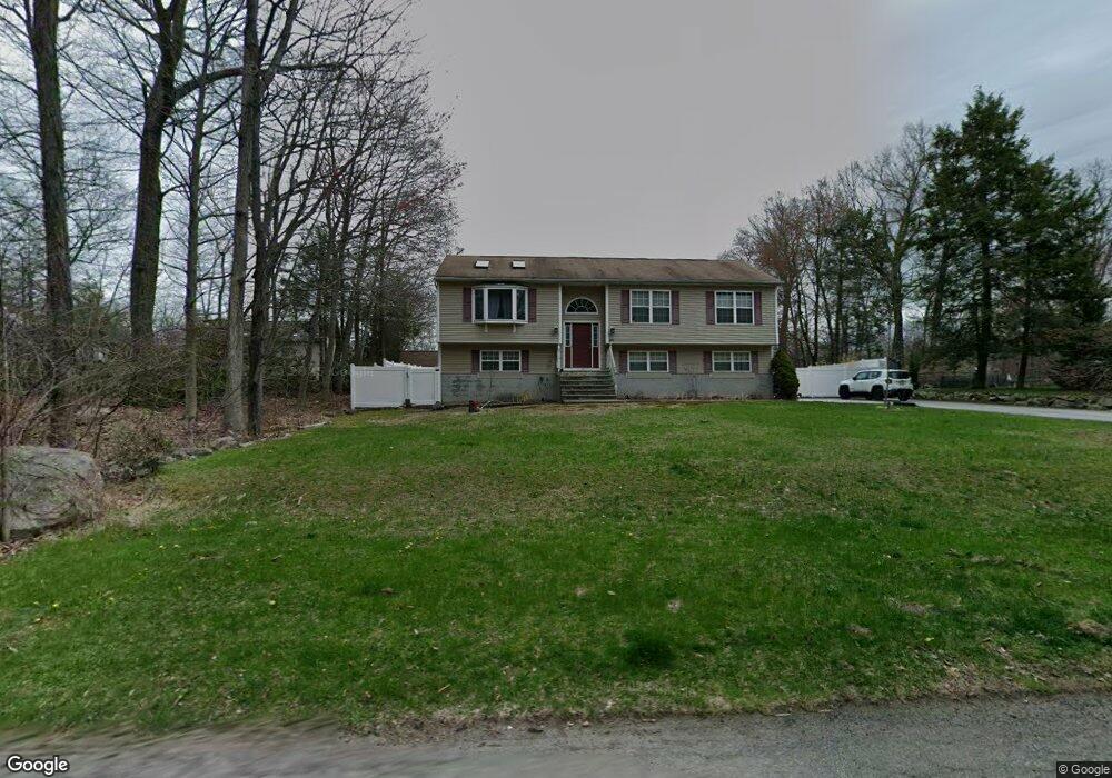
104 Hewitt Rd Hewitt, NJ 07421
Estimated Value: $481,000 - $567,000
--
Bed
--
Bath
2,012
Sq Ft
$260/Sq Ft
Est. Value
About This Home
This home is located at 104 Hewitt Rd, Hewitt, NJ 07421 and is currently estimated at $523,667, approximately $260 per square foot. 104 Hewitt Rd is a home located in Passaic County with nearby schools including Macopin Middle School and West Milford High School.
Ownership History
Date
Name
Owned For
Owner Type
Purchase Details
Closed on
Dec 13, 2019
Sold by
Wrocenski Jill and Wrocenski Peter
Bought by
Janssens Jill
Current Estimated Value
Purchase Details
Closed on
Dec 29, 2000
Sold by
Kiryako Raid
Bought by
Wrocenski Jill and Wrocenski Peter
Home Financials for this Owner
Home Financials are based on the most recent Mortgage that was taken out on this home.
Original Mortgage
$160,000
Interest Rate
7.39%
Purchase Details
Closed on
Jan 29, 1999
Sold by
Regal Enterprises Inc
Bought by
Kiryako Raid A and Kiryako Nancy
Home Financials for this Owner
Home Financials are based on the most recent Mortgage that was taken out on this home.
Original Mortgage
$141,600
Interest Rate
6.74%
Purchase Details
Closed on
Sep 3, 1998
Sold by
Hoekstra Blaine T and Hoekstra Mary Jo
Bought by
Regal Enterprises Inc
Create a Home Valuation Report for This Property
The Home Valuation Report is an in-depth analysis detailing your home's value as well as a comparison with similar homes in the area
Home Values in the Area
Average Home Value in this Area
Purchase History
| Date | Buyer | Sale Price | Title Company |
|---|---|---|---|
| Janssens Jill | -- | First Jersey Title Svcs Inc | |
| Wrocenski Jill | $221,500 | -- | |
| Kiryako Raid A | $177,000 | -- | |
| Regal Enterprises Inc | $23,000 | -- |
Source: Public Records
Mortgage History
| Date | Status | Borrower | Loan Amount |
|---|---|---|---|
| Previous Owner | Wrocenski Jill | $160,000 | |
| Previous Owner | Kiryako Raid A | $141,600 |
Source: Public Records
Tax History Compared to Growth
Tax History
| Year | Tax Paid | Tax Assessment Tax Assessment Total Assessment is a certain percentage of the fair market value that is determined by local assessors to be the total taxable value of land and additions on the property. | Land | Improvement |
|---|---|---|---|---|
| 2025 | $10,289 | $253,800 | $80,500 | $173,300 |
| 2024 | $10,342 | $253,800 | $80,500 | $173,300 |
| 2022 | $9,817 | $253,800 | $80,500 | $173,300 |
| 2021 | $9,606 | $253,800 | $80,500 | $173,300 |
| 2020 | $9,505 | $253,800 | $80,500 | $173,300 |
| 2019 | $9,378 | $253,800 | $80,500 | $173,300 |
| 2018 | $9,355 | $253,800 | $80,500 | $173,300 |
| 2017 | $9,398 | $253,800 | $80,500 | $173,300 |
| 2016 | $9,413 | $253,800 | $80,500 | $173,300 |
| 2015 | $9,304 | $253,800 | $80,500 | $173,300 |
| 2014 | $9,078 | $253,800 | $80,500 | $173,300 |
Source: Public Records
Map
Nearby Homes
- 109 Fairlawn Dr
- 00 Fairlawn Dr
- 424 Lake Shore Dr
- 0 Kresson Rd
- 00 Jenkins Rd
- 28 Risley Rd
- 3 Riverside Rd
- 40 Upper Greenwood Lake Rd
- 40 Upper Greenwood Rd
- 74 Riverside Rd
- 7 Chatham Rd
- 12 Henry Rd
- 5 Fanwood Ct
- 54 Race Track Dr
- 40 Kingsland Rd
- 96 Papscoe Rd
- 00 Linwood Rd
- 0 Gladstone Rd
- 16 Hampton Rd
- 3 Neptune Rd