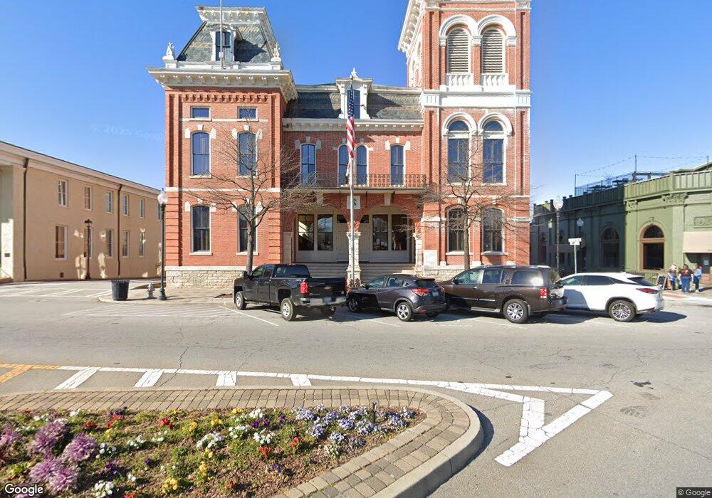
104 Highway 213 Covington, GA 30014
Estimated Value: $372,072 - $462,000
--
Bed
3
Baths
2,310
Sq Ft
$178/Sq Ft
Est. Value
About This Home
This home is located at 104 Highway 213, Covington, GA 30014 and is currently estimated at $411,268, approximately $178 per square foot. 104 Highway 213 is a home located in Newton County with nearby schools including Heard-Mixon Elementary School, Indian Creek Middle School, and Eastside High School.
Ownership History
Date
Name
Owned For
Owner Type
Purchase Details
Closed on
Sep 27, 2013
Sold by
Holmes Timothy E
Bought by
Mask Charles Anthony and Mask Cindy Webb
Current Estimated Value
Purchase Details
Closed on
Sep 23, 2013
Sold by
Mtg Electronic Registratio
Bought by
Holmes Timothy E and Holmes Carol W
Purchase Details
Closed on
Oct 27, 1995
Sold by
Capell Joseph Carol
Bought by
Holmes Timothy Carol
Create a Home Valuation Report for This Property
The Home Valuation Report is an in-depth analysis detailing your home's value as well as a comparison with similar homes in the area
Home Values in the Area
Average Home Value in this Area
Purchase History
| Date | Buyer | Sale Price | Title Company |
|---|---|---|---|
| Mask Charles Anthony | $5,000 | -- | |
| Holmes Timothy E | -- | -- | |
| Holmes Timothy Carol | $135,000 | -- |
Source: Public Records
Mortgage History
| Date | Status | Borrower | Loan Amount |
|---|---|---|---|
| Closed | Holmes Timothy Carol | $0 |
Source: Public Records
Tax History Compared to Growth
Tax History
| Year | Tax Paid | Tax Assessment Tax Assessment Total Assessment is a certain percentage of the fair market value that is determined by local assessors to be the total taxable value of land and additions on the property. | Land | Improvement |
|---|---|---|---|---|
| 2024 | $3,441 | $139,720 | $11,440 | $128,280 |
| 2023 | $2,867 | $109,520 | $11,440 | $98,080 |
| 2022 | $2,163 | $83,600 | $11,440 | $72,160 |
| 2021 | $2,206 | $76,640 | $11,440 | $65,200 |
| 2020 | $2,167 | $68,400 | $11,880 | $56,520 |
| 2019 | $2,217 | $68,880 | $11,880 | $57,000 |
| 2018 | $2,256 | $69,600 | $11,880 | $57,720 |
| 2017 | $1,932 | $60,160 | $6,600 | $53,560 |
| 2016 | $1,925 | $59,960 | $6,400 | $53,560 |
| 2015 | $1,525 | $48,320 | $6,400 | $41,920 |
| 2014 | $1,438 | $45,880 | $0 | $0 |
Source: Public Records
Map
Nearby Homes
- 60 Laurie Ln
- 70 Alcovy Reserve Way
- 11489 Highway 36
- 90 Alcovy Reserve Way
- 150 Alcovy Reserve Way
- 440 Varner St
- 10717 Georgia 36
- 20 Mariposa Place
- 72 Woodfield Rd
- 13262 Tolstoy Dr
- 240 Kestrel Cir
- 20 Kestrel Cir
- 30 Snapdragon Ln
- 30 Woodfield Rd
- 210 Kestrel Cir
- 205 Kestrel Cir
- 75 Woodfield Rd
- 330 River Walk Farm
- 338 River Walk Farm
- 344 River Walk Farm
- 130 Highway 213
- 48 Highway 213
- 148 Highway 213
- 160 Highway 213
- 24 Highway 213
- 80 Mabry Farms Ct Unit 2
- 85 Mabry Farms Ct Unit 2
- 180 Highway 213
- 70 Mabry Farms Ct
- 75 Mabry Farms Ct
- 198 Highway 213
- 55 Highway 213
- 0 Highway 213 Unit 8971167
- 0 Highway 213 Unit 8975222
- 0 Highway 213 Unit 8984041
- 0 Highway 213 Unit 8892477
- 0 Highway 213 Unit 8148789
- 0 Highway 213 Unit 8507417
- 0 Highway 213 Unit 8610327
- 0 Highway 213 Unit 8419620
