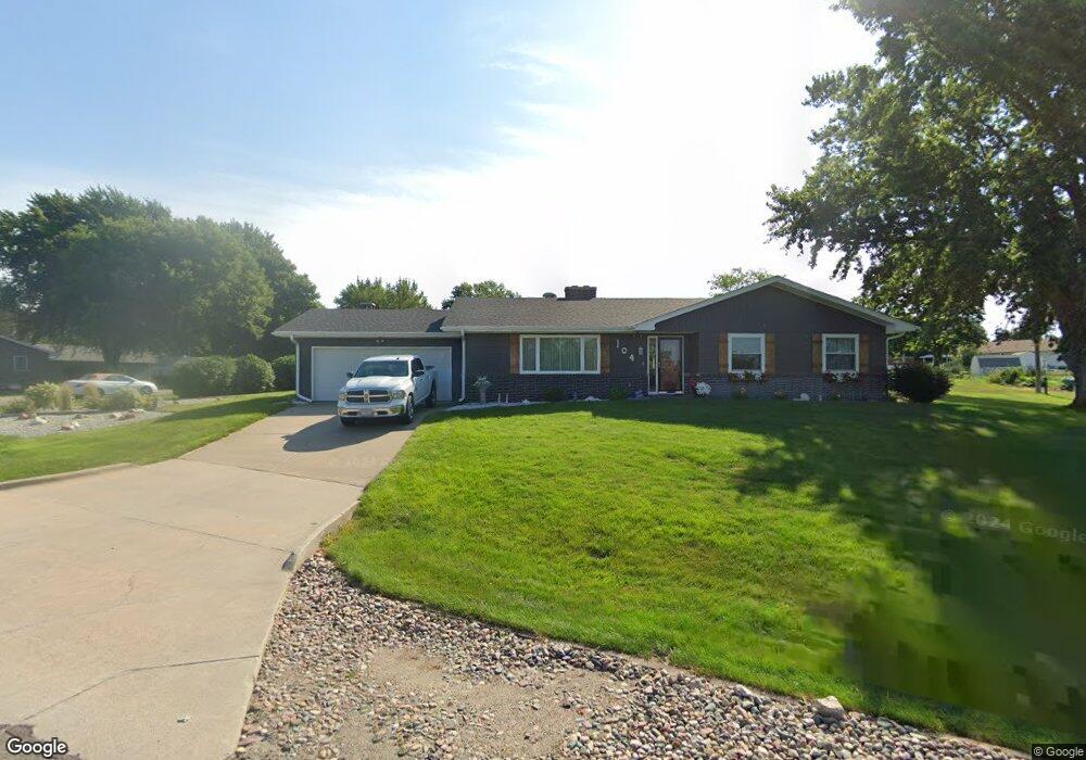
104 Jo Deb Dr Norfolk, NE 68701
Estimated Value: $330,000 - $405,000
3
Beds
2
Baths
1,961
Sq Ft
$182/Sq Ft
Est. Value
About This Home
This home is located at 104 Jo Deb Dr, Norfolk, NE 68701 and is currently estimated at $357,582, approximately $182 per square foot. 104 Jo Deb Dr is a home located in Madison County with nearby schools including Norfolk Senior High School, Keystone Christian Academy, and Park Avenue Christian School.
Ownership History
Date
Name
Owned For
Owner Type
Purchase Details
Closed on
Jul 28, 2016
Sold by
Osborn Steven R and Osborn Kara J
Bought by
Osbom Steven R and Osbom Kara J
Current Estimated Value
Home Financials for this Owner
Home Financials are based on the most recent Mortgage that was taken out on this home.
Original Mortgage
$42,067
Interest Rate
3.54%
Mortgage Type
Seller Take Back
Create a Home Valuation Report for This Property
The Home Valuation Report is an in-depth analysis detailing your home's value as well as a comparison with similar homes in the area
Home Values in the Area
Average Home Value in this Area
Purchase History
| Date | Buyer | Sale Price | Title Company |
|---|---|---|---|
| Osbom Steven R | -- | American Title & Escrow Co | |
| Osborn Steven R | -- | American Title & Escrow Co | |
| Osborn Steven R | $95,000 | American Title & Escrow Co | |
| Osborn Gregory L | -- | American Title & Escrow Co |
Source: Public Records
Mortgage History
| Date | Status | Borrower | Loan Amount |
|---|---|---|---|
| Closed | Osborn Gregory L | $42,067 |
Source: Public Records
Tax History Compared to Growth
Tax History
| Year | Tax Paid | Tax Assessment Tax Assessment Total Assessment is a certain percentage of the fair market value that is determined by local assessors to be the total taxable value of land and additions on the property. | Land | Improvement |
|---|---|---|---|---|
| 2024 | $3,530 | $286,012 | $42,251 | $243,761 |
| 2023 | $5,016 | $271,312 | $22,816 | $248,496 |
| 2022 | $4,535 | $244,687 | $22,816 | $221,871 |
| 2021 | $4,135 | $226,367 | $22,816 | $203,551 |
| 2020 | $4,339 | $226,367 | $22,816 | $203,551 |
| 2019 | $4,162 | $211,289 | $22,816 | $188,473 |
| 2018 | $3,759 | $196,930 | $21,126 | $175,804 |
| 2017 | $3,548 | $182,414 | $21,126 | $161,288 |
| 2016 | $3,362 | $168,999 | $21,126 | $147,873 |
| 2015 | $1,552 | $168,999 | $21,126 | $147,873 |
| 2014 | $3,137 | $154,574 | $21,126 | $133,448 |
| 2013 | $3,252 | $154,574 | $21,126 | $133,448 |
Source: Public Records
Map
Nearby Homes
- 1902 Tomlo Ave
- 1901 E Norfolk Ave
- 1903 E Norfolk Ave
- 202 Jo Deb Dr
- 103 Jo Deb Dr
- 105 Jo Deb Dr
- 103 Agnes Ave
- 1809 E Norfolk Ave
- 201 Jo Deb Dr
- 1905 E Norfolk Ave
- 1903 Tomlo Ave
- 204 Jo Deb Dr
- 203 Jo Deb Dr
- 1807 E Norfolk Ave
- 1905 Tomlo Ave
- 1902 Maurer Dr
- 102 Agnes Ave
- 2001 E Norfolk Ave
- 205 Jo Deb Dr
- 1904 Maurer Dr