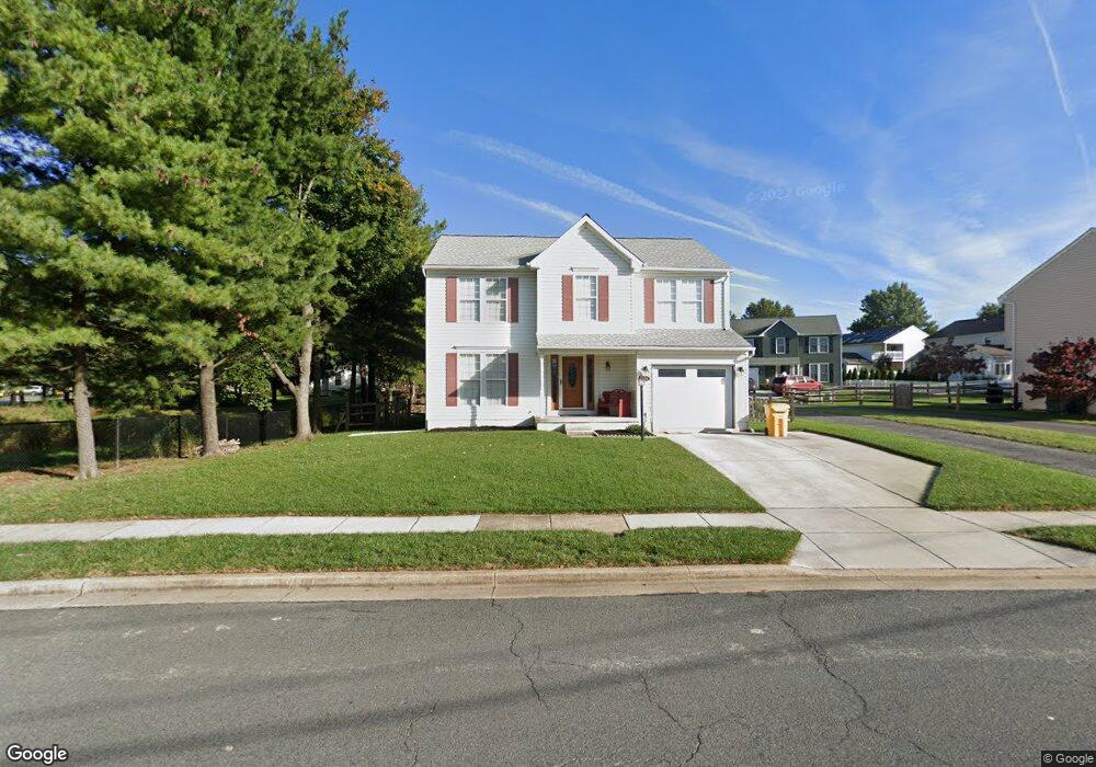
104 John Ave Linthicum Heights, MD 21090
Estimated Value: $432,000 - $586,000
Studio
3
Baths
2,138
Sq Ft
$238/Sq Ft
Est. Value
About This Home
This home is located at 104 John Ave, Linthicum Heights, MD 21090 and is currently estimated at $508,201, approximately $237 per square foot. 104 John Ave is a home located in Anne Arundel County with nearby schools including Linthicum Elementary School, Lindale Middle School, and North County High School.
Ownership History
Date
Name
Owned For
Owner Type
Purchase Details
Closed on
Mar 26, 1993
Sold by
Thorland Homes, Inc
Bought by
Wilson 3Rd Edward W and Wilson Mary A
Current Estimated Value
Home Financials for this Owner
Home Financials are based on the most recent Mortgage that was taken out on this home.
Original Mortgage
$151,000
Interest Rate
7.5%
Purchase Details
Closed on
Nov 30, 1992
Sold by
Gapgalleon
Bought by
Thorland Homes, Inc
Home Financials for this Owner
Home Financials are based on the most recent Mortgage that was taken out on this home.
Original Mortgage
$127,500
Interest Rate
8.29%
Create a Home Valuation Report for This Property
The Home Valuation Report is an in-depth analysis detailing your home's value as well as a comparison with similar homes in the area
Home Values in the Area
Average Home Value in this Area
Purchase History
| Date | Buyer | Sale Price | Title Company |
|---|---|---|---|
| Wilson 3Rd Edward W | $176,100 | -- | |
| Thorland Homes, Inc | $190,000 | -- |
Source: Public Records
Mortgage History
| Date | Status | Borrower | Loan Amount |
|---|---|---|---|
| Closed | Wilson 3Rd Edward W | $151,000 | |
| Previous Owner | Thorland Homes, Inc | $127,500 |
Source: Public Records
Tax History
| Year | Tax Paid | Tax Assessment Tax Assessment Total Assessment is a certain percentage of the fair market value that is determined by local assessors to be the total taxable value of land and additions on the property. | Land | Improvement |
|---|---|---|---|---|
| 2025 | $3,847 | $446,900 | $176,800 | $270,100 |
| 2024 | $3,847 | $428,067 | $0 | $0 |
| 2023 | $3,733 | $409,233 | $0 | $0 |
| 2022 | $3,482 | $390,400 | $156,800 | $233,600 |
| 2020 | $2,919 | $351,267 | $0 | $0 |
| 2019 | $3,227 | $331,700 | $140,300 | $191,400 |
| 2018 | $3,291 | $324,533 | $0 | $0 |
| 2017 | $3,040 | $317,367 | $0 | $0 |
| 2016 | -- | $310,200 | $0 | $0 |
| 2015 | -- | $310,200 | $0 | $0 |
| 2014 | -- | $310,200 | $0 | $0 |
Source: Public Records
Map
Nearby Homes
- 312 N Hammonds Ferry Rd
- 105 Michael Ave
- 409 Laclair Ave
- 206 Cheddington Rd
- 322 Cheddington Rd
- 518 N Rd
- 100 Governors Gate Ln
- 526 Hawthorne Rd
- 440 Cleveland Rd
- 102 Catalpa Rd
- 520 Cleveland Rd
- 201 Hance Ave
- 209 Mountain Rd
- 206 Mountain Rd
- 763 Hawthorne Rd
- 201 Charles Rd
- 31 Governors Gate Ln
- 536 Forest View Rd
- 314 Church Cir
- 602 S Hammonds Ferry Rd
- 106 John Ave
- 110 John Ave
- 108 John Ave
- 313 N Hammonds Ferry Rd
- 101 John Ave
- 105 Babet Way
- 112 John Ave
- 402 Jerome Ave
- 103 John Ave
- 311 N Hammonds Ferry Rd
- 404 Jerome Ave
- 107 Babet Way
- 403 N Hammonds Ferry Rd
- 109 Babet Way
- 105 John Ave
- 408 Jerome Ave
- 101 Michael Ave
- 309 N Hammonds Ferry Rd
- 310 N Hammonds Ferry Rd
- 405 N Hammonds Ferry Rd
Your Personal Tour Guide
Ask me questions while you tour the home.