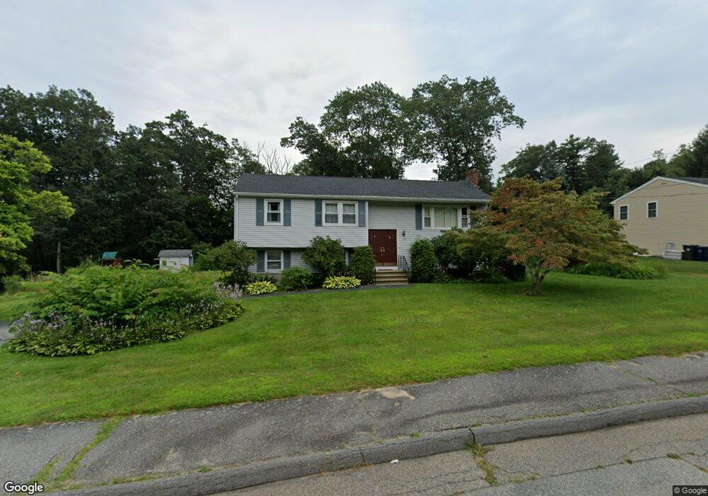
104 Kosmas St Marlborough, MA 01752
Estimated Value: $595,000 - $644,550
3
Beds
3
Baths
1,034
Sq Ft
$593/Sq Ft
Est. Value
About This Home
This home is located at 104 Kosmas St, Marlborough, MA 01752 and is currently estimated at $613,388, approximately $593 per square foot. 104 Kosmas St is a home located in Middlesex County with nearby schools including Marlborough High School, New Covenant Christian School, and Glenhaven Academy - JRI School.
Ownership History
Date
Name
Owned For
Owner Type
Purchase Details
Closed on
Dec 5, 2003
Sold by
Collentine Thomas D
Bought by
Weden Jason T
Current Estimated Value
Home Financials for this Owner
Home Financials are based on the most recent Mortgage that was taken out on this home.
Original Mortgage
$263,900
Outstanding Balance
$123,566
Interest Rate
6.03%
Mortgage Type
Purchase Money Mortgage
Estimated Equity
$489,822
Create a Home Valuation Report for This Property
The Home Valuation Report is an in-depth analysis detailing your home's value as well as a comparison with similar homes in the area
Home Values in the Area
Average Home Value in this Area
Purchase History
| Date | Buyer | Sale Price | Title Company |
|---|---|---|---|
| Weden Jason T | $329,900 | -- |
Source: Public Records
Mortgage History
| Date | Status | Borrower | Loan Amount |
|---|---|---|---|
| Open | Weden Jason T | $263,900 |
Source: Public Records
Tax History Compared to Growth
Tax History
| Year | Tax Paid | Tax Assessment Tax Assessment Total Assessment is a certain percentage of the fair market value that is determined by local assessors to be the total taxable value of land and additions on the property. | Land | Improvement |
|---|---|---|---|---|
| 2025 | $4,910 | $498,000 | $230,200 | $267,800 |
| 2024 | $4,785 | $467,300 | $209,300 | $258,000 |
| 2023 | $5,260 | $455,800 | $180,700 | $275,100 |
| 2022 | $5,135 | $391,400 | $172,000 | $219,400 |
| 2021 | $4,922 | $356,700 | $143,500 | $213,200 |
| 2020 | $4,830 | $340,600 | $136,600 | $204,000 |
| 2019 | $4,711 | $334,800 | $133,900 | $200,900 |
| 2018 | $4,777 | $326,500 | $116,800 | $209,700 |
| 2017 | $4,614 | $301,200 | $115,600 | $185,600 |
| 2016 | $4,453 | $290,300 | $115,600 | $174,700 |
| 2015 | $4,080 | $258,900 | $118,300 | $140,600 |
Source: Public Records
Map
Nearby Homes
- 38 Airport Blvd
- 45 Raffaele Rd
- 323 Robert Rd
- 256 Robert Rd
- 114 Lodi Rd
- 274 Naugler Ave
- 37 Hosmer St Unit 10
- 37 Hosmer St Unit 20
- 137 Naugler Ave
- 57 Paquin Dr
- 492 Stow Rd
- 24 Clinton St
- 16 Clinton St
- 38 Collins Dr
- 110 Boston Post Rd E Unit 104
- 97 Cook Ln
- 96 Cook Ln
- 41 Kane Dr
- 211 Stevens St
- 25 Walnut St
- 114 Kosmas St
- 94 Kosmas St
- 118 Spoonhill Ave
- 106 Spoonhill Ave
- 107 Kosmas St
- 124 Kosmas St
- 97 Kosmas St
- 128 Spoonhill Ave
- 84 Kosmas St
- 100 Spoonhill Ave
- 79 Kosmas St
- 117 Kosmas St
- 134 Kosmas St
- 138 Spoonhill Ave
- 121 Spoonhill Ave
- 59 Kosmas St
- 38 Airport Blvd
- 71 Airport Blvd Unit 15-A
- 98 Airport Blvd Unit 8
- 28 Airport Blvd Unit 2