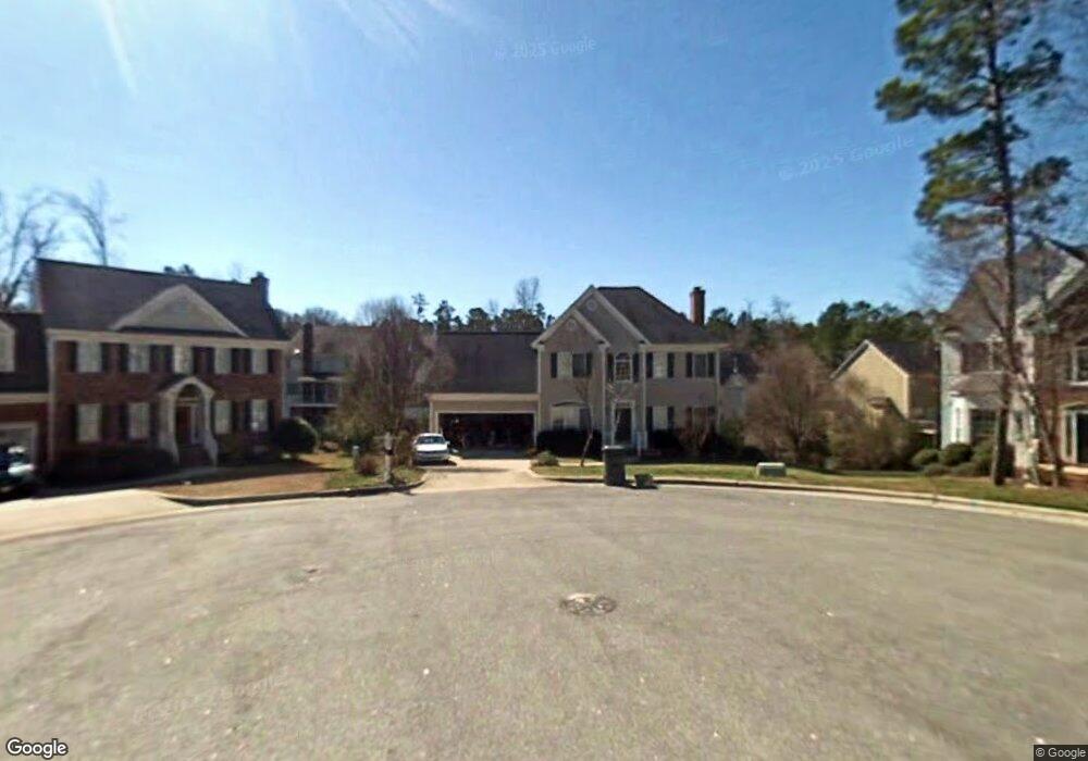
104 Landsdowne Ct Cary, NC 27519
West Cary NeighborhoodEstimated Value: $630,000 - $713,000
4
Beds
4
Baths
2,697
Sq Ft
$244/Sq Ft
Est. Value
About This Home
This home is located at 104 Landsdowne Ct, Cary, NC 27519 and is currently estimated at $658,650, approximately $244 per square foot. 104 Landsdowne Ct is a home located in Wake County with nearby schools including Highcroft Elementary, Mills Park Middle School, and Green Level High School.
Ownership History
Date
Name
Owned For
Owner Type
Purchase Details
Closed on
Jan 5, 2011
Sold by
Walker Dennis M and Walker Jenny Phung
Bought by
Stockett John Lewis and Stockett Denise E
Current Estimated Value
Home Financials for this Owner
Home Financials are based on the most recent Mortgage that was taken out on this home.
Original Mortgage
$217,000
Outstanding Balance
$145,229
Interest Rate
4.4%
Mortgage Type
New Conventional
Estimated Equity
$513,421
Create a Home Valuation Report for This Property
The Home Valuation Report is an in-depth analysis detailing your home's value as well as a comparison with similar homes in the area
Home Values in the Area
Average Home Value in this Area
Purchase History
| Date | Buyer | Sale Price | Title Company |
|---|---|---|---|
| Stockett John Lewis | $307,000 | None Available |
Source: Public Records
Mortgage History
| Date | Status | Borrower | Loan Amount |
|---|---|---|---|
| Open | Stockett John Lewis | $217,000 |
Source: Public Records
Tax History
| Year | Tax Paid | Tax Assessment Tax Assessment Total Assessment is a certain percentage of the fair market value that is determined by local assessors to be the total taxable value of land and additions on the property. | Land | Improvement |
|---|---|---|---|---|
| 2025 | $5,266 | $612,054 | $240,000 | $372,054 |
| 2024 | $5,152 | $612,054 | $240,000 | $372,054 |
Source: Public Records
Map
Nearby Homes
- 103 Lyncroft Ln
- 100 Ferncroft Ct
- 108 Ferncroft Ct
- 212 Capistrane Dr
- 108 Parkcanyon Ln
- 517 Henmore Brook Dr
- 203 Ticonderoga Rd
- 203 Caraway Ln
- 102 Flora Springs Dr
- 104 Cupola Chase Way
- 101 Caymus Ct
- 410 Widdington Ln
- 102 Parkroyale Ln
- 104 Fawley Ct
- 112 Rapport Dr
- 7040 Talton Ridge Dr
- 117 Barnes Spring Ct
- 316 Rapport Dr
- 925 Cozy Oak Ave
- 520 Alliance Cir
- 102 Landsdowne Ct
- 104 Rockland Cir
- 106 Rockland Cir
- 105 Landsdowne Ct
- 102 Rockland Cir
- 103 Landsdowne Ct
- 108 Rockland Cir
- 100 Landsdowne Ct
- 107 Ferncroft Ct
- 101 Landsdowne Ct
- 104 Lyncroft Ln
- 109 Ferncroft Ct
- 103 Rockland Cir
- 205 Highfield Ave
- 102 Lyncroft Ln
- 207 Highfield Ave
- 109 Rockland Cir
- 203 Highfield Ave
- 200 Lyncroft Ln
- 209 Highfield Ave
Your Personal Tour Guide
Ask me questions while you tour the home.