104 Leslie Ln Wilmington, NC 28411
Estimated Value: $581,000 - $670,000
3
Beds
3
Baths
2,929
Sq Ft
$219/Sq Ft
Est. Value
About This Home
This home is located at 104 Leslie Ln, Wilmington, NC 28411 and is currently estimated at $641,707, approximately $219 per square foot. 104 Leslie Ln is a home located in Pender County with nearby schools including South Topsail Elementary School, Topsail Middle School, and Topsail High School.
Ownership History
Date
Name
Owned For
Owner Type
Purchase Details
Closed on
Aug 31, 2020
Sold by
Brock Timothy A and Brock Teri Denise
Bought by
Hobbs Michael Thomas and Hobbs Taylor Paige
Current Estimated Value
Home Financials for this Owner
Home Financials are based on the most recent Mortgage that was taken out on this home.
Original Mortgage
$387,837
Outstanding Balance
$344,180
Interest Rate
2.9%
Mortgage Type
New Conventional
Estimated Equity
$297,527
Purchase Details
Closed on
Oct 24, 1994
Bought by
Brock Timothy A
Create a Home Valuation Report for This Property
The Home Valuation Report is an in-depth analysis detailing your home's value as well as a comparison with similar homes in the area
Home Values in the Area
Average Home Value in this Area
Purchase History
| Date | Buyer | Sale Price | Title Company |
|---|---|---|---|
| Hobbs Michael Thomas | $209,000 | None Available | |
| Brock Timothy A | $27,000 | -- |
Source: Public Records
Mortgage History
| Date | Status | Borrower | Loan Amount |
|---|---|---|---|
| Open | Hobbs Michael Thomas | $387,837 |
Source: Public Records
Tax History Compared to Growth
Tax History
| Year | Tax Paid | Tax Assessment Tax Assessment Total Assessment is a certain percentage of the fair market value that is determined by local assessors to be the total taxable value of land and additions on the property. | Land | Improvement |
|---|---|---|---|---|
| 2024 | $3,677 | $375,864 | $119,137 | $256,727 |
| 2023 | $3,677 | $375,864 | $119,137 | $256,727 |
| 2022 | $3,239 | $375,864 | $119,137 | $256,727 |
| 2021 | $3,239 | $375,864 | $119,137 | $256,727 |
| 2020 | $3,117 | $361,208 | $119,137 | $242,071 |
| 2019 | $3,117 | $361,208 | $119,137 | $242,071 |
| 2018 | $3,290 | $364,506 | $120,000 | $244,506 |
| 2017 | $3,290 | $364,506 | $120,000 | $244,506 |
| 2016 | $3,254 | $364,506 | $120,000 | $244,506 |
| 2015 | $3,236 | $364,506 | $120,000 | $244,506 |
| 2014 | $2,526 | $364,506 | $120,000 | $244,506 |
| 2013 | -- | $364,506 | $120,000 | $244,506 |
| 2012 | -- | $364,506 | $120,000 | $244,506 |
Source: Public Records
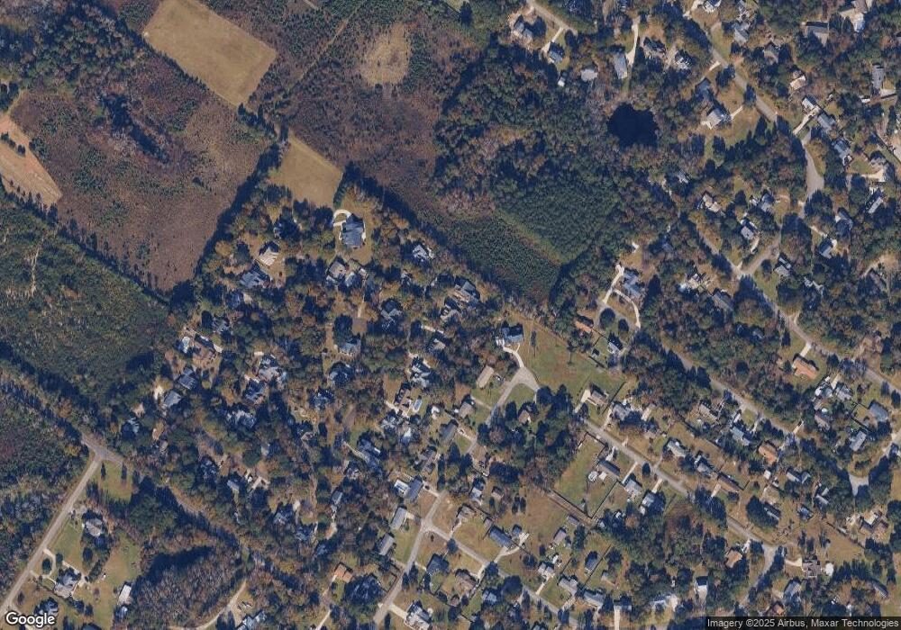
Map
Nearby Homes
- 126 Francis Marion Dr
- 112 Francis Marion Dr
- 115 Scottsdale Dr
- 348 Lafayette St
- Tract 200a Padrick Ln
- 202 Cedar Find Cove
- 2645 Scotts Hill Loop Rd
- 109 Live Oak Ln
- 2950 Scotts Hill Loop Rd
- 216 La Salle St
- 8707 Lowes Island Dr
- 111 Marshfield Dr
- 8509 Galloway National Dr
- 1117 Futch Creek Rd
- 415 Sugar Cove Unit Lot 44
- 8509 Bald Eagle Ln
- 9218 Salem Ct
- 8702 Thornblade Cir
- 8709 Decoy Ln
- 16 Foundry Dr
- 106 Leslie Ln
- 102 Leslie Ln
- 100 Leslie Ln
- 133 Scottsdale Dr
- 103 Leslie Ln
- 101 Leslie Ln
- 105 Leslie Ln
- 129 Scottsdale Dr
- 120 Francis Marion Dr
- 125 Scottsdale Dr
- 125 Francis Marion Dr
- 132 Scottsdale Dr
- 104 Jefferson Rd
- 106 Jefferson Rd
- 307 Abbey Ln
- 122 Francis Marion Dr
- 128 Scottsdale Dr
- 121 Scottsdale Dr
- 124 Scottsdale Dr
- 127 Francis Marion Dr