104 Lion Ln Mershon, GA 31551
Estimated Value: $38,000 - $94,000
3
Beds
2
Baths
1,344
Sq Ft
$50/Sq Ft
Est. Value
About This Home
This home is located at 104 Lion Ln, Mershon, GA 31551 and is currently estimated at $66,872, approximately $49 per square foot. 104 Lion Ln is a home with nearby schools including Bacon County Primary School, Bacon County Elementary School, and Bacon County Middle School.
Ownership History
Date
Name
Owned For
Owner Type
Purchase Details
Closed on
Feb 29, 2012
Sold by
Thomas Freda S
Bought by
Chesnut Lisa W
Current Estimated Value
Purchase Details
Closed on
Feb 24, 2011
Sold by
Estate Of Annette Durrance and Music Alfredine
Bought by
Thomas Freda S
Purchase Details
Closed on
Jan 28, 1997
Sold by
Miles Walter K
Bought by
Durrance Annette
Create a Home Valuation Report for This Property
The Home Valuation Report is an in-depth analysis detailing your home's value as well as a comparison with similar homes in the area
Home Values in the Area
Average Home Value in this Area
Purchase History
| Date | Buyer | Sale Price | Title Company |
|---|---|---|---|
| Chesnut Lisa W | $35,500 | -- | |
| Thomas Freda S | $38,000 | -- | |
| Durrance Annette | -- | -- |
Source: Public Records
Tax History Compared to Growth
Tax History
| Year | Tax Paid | Tax Assessment Tax Assessment Total Assessment is a certain percentage of the fair market value that is determined by local assessors to be the total taxable value of land and additions on the property. | Land | Improvement |
|---|---|---|---|---|
| 2024 | $147 | $5,628 | $2,480 | $3,148 |
| 2023 | $150 | $5,508 | $2,360 | $3,148 |
| 2022 | $150 | $5,508 | $2,360 | $3,148 |
| 2021 | $100 | $3,668 | $2,360 | $1,308 |
| 2020 | $91 | $3,185 | $1,970 | $1,215 |
| 2019 | $91 | $3,185 | $1,970 | $1,215 |
| 2018 | $91 | $3,185 | $1,970 | $1,215 |
| 2017 | $91 | $3,185 | $1,970 | $1,215 |
| 2016 | $256 | $10,895 | $1,970 | $8,925 |
| 2015 | $464 | $12,201 | $1,970 | $10,231 |
| 2014 | $464 | $12,201 | $1,970 | $10,231 |
| 2013 | $464 | $17,836 | $2,756 | $15,080 |
Source: Public Records
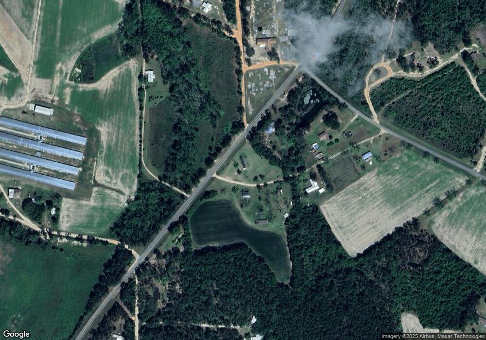
Map
Nearby Homes
- 288 Robin Rd
- 82 Harris Rd
- TRACT 2 Pine Cone Trail
- TRACT 3 Pine Cone Trail
- TRACT 11 Pine Cone Trail
- 0 Pine Cone Trail
- TRACT 5 Pine Cone Trail
- TRACT 7 Pine Cone Trail
- TRACT 9 Pine Cone Trail
- TBD Cartertown Rd
- TBD Cartertown Rd
- 320 Bill Morris Rd
- 6362 Georgia 121
- 0 Metts-Overstreet Rd
- 9TH E 417
- 0 E 6th St Unit 114222
- 611 S Bead St
- 907 N Pierce St
- 0 Oriole Rd Unit 1654653
- 0 Oriole Rd Unit 10543585
- 109 Lion Ln
- 953 Ga Highway 203 N
- 125 Lion Ln
- 926 Ga Highway 203 N
- 937 Brown Thrasher Rd
- 139 Clay Pit Ln
- 932 Brown Thrasher Rd N
- 836 Damascus Church Hwy
- 131 Hummingbird Ln
- 137 Otter Rd
- 894 Brown Thrasher Rd
- 847 Ga Highway 203 N
- 806 Damascus Church Hwy
- 848 Ga Highway 203 N
- 878 Brown Thrasher Rd
- 805 Damascus Church Hwy
- 1045 Ga Highway 203 N
- 823 Ga Highway 203 N
- 817 Ga Highway 203 N
- 216 Pony Rd