104 Locust Trail Browns Mills, NJ 08015
Estimated Value: $367,000 - $384,000
--
Bed
--
Bath
1,774
Sq Ft
$212/Sq Ft
Est. Value
About This Home
This home is located at 104 Locust Trail, Browns Mills, NJ 08015 and is currently estimated at $376,271, approximately $212 per square foot. 104 Locust Trail is a home located in Burlington County with nearby schools including Chatsworth School, Seneca High School, and Shawnee High School.
Ownership History
Date
Name
Owned For
Owner Type
Purchase Details
Closed on
Aug 25, 2021
Sold by
Starkey Margaret A and Starkey Robert
Bought by
Starkey Margaret A
Current Estimated Value
Purchase Details
Closed on
Sep 12, 2002
Sold by
Yasenka Margaret A and Starkey Margaret A
Bought by
Starkey Robert and Starkey Margaret A
Home Financials for this Owner
Home Financials are based on the most recent Mortgage that was taken out on this home.
Original Mortgage
$112,000
Interest Rate
6.18%
Mortgage Type
Purchase Money Mortgage
Purchase Details
Closed on
Jan 17, 1996
Sold by
Cwiklinski Stanley
Bought by
Yasenka Margaret A and Cwiklinski Maggie A
Create a Home Valuation Report for This Property
The Home Valuation Report is an in-depth analysis detailing your home's value as well as a comparison with similar homes in the area
Home Values in the Area
Average Home Value in this Area
Purchase History
| Date | Buyer | Sale Price | Title Company |
|---|---|---|---|
| Starkey Margaret A | -- | None Available | |
| Starkey Robert | -- | -- | |
| Yasenka Margaret A | -- | -- |
Source: Public Records
Mortgage History
| Date | Status | Borrower | Loan Amount |
|---|---|---|---|
| Closed | Starkey Robert | $112,000 |
Source: Public Records
Tax History Compared to Growth
Tax History
| Year | Tax Paid | Tax Assessment Tax Assessment Total Assessment is a certain percentage of the fair market value that is determined by local assessors to be the total taxable value of land and additions on the property. | Land | Improvement |
|---|---|---|---|---|
| 2025 | $7,598 | $259,500 | $130,800 | $128,700 |
| 2024 | $7,297 | $259,500 | $130,800 | $128,700 |
| 2023 | $7,297 | $259,500 | $130,800 | $128,700 |
| 2022 | $7,160 | $259,500 | $130,800 | $128,700 |
| 2021 | $6,582 | $259,500 | $130,800 | $128,700 |
| 2020 | $6,573 | $259,500 | $130,800 | $128,700 |
| 2019 | $6,524 | $259,500 | $130,800 | $128,700 |
| 2018 | $5,893 | $259,500 | $130,800 | $128,700 |
| 2017 | $5,678 | $259,500 | $130,800 | $128,700 |
| 2016 | $5,429 | $259,500 | $130,800 | $128,700 |
| 2015 | $5,089 | $259,500 | $130,800 | $128,700 |
| 2014 | $4,430 | $259,500 | $130,800 | $128,700 |
Source: Public Records
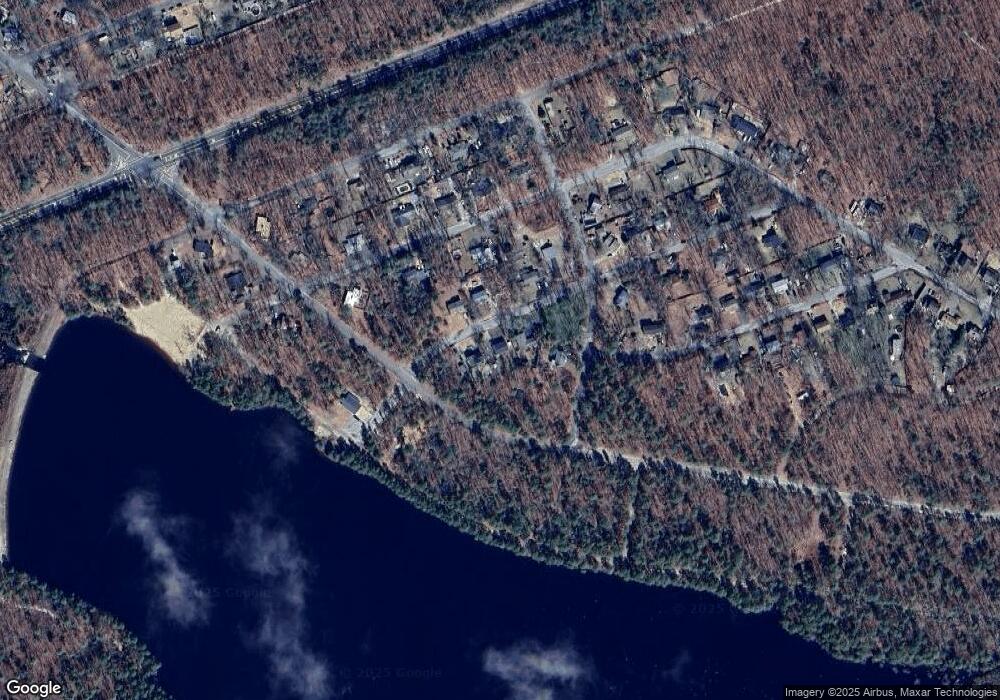
Map
Nearby Homes
- 518 Louisiana Trail
- 515 New Jersey Rd
- 411 Virginia Dr
- 405 Massachusetts Rd
- 409 Florida Trail
- 5 Maryland Trail
- 307 Colorado Trail
- 500 New York Rd
- 0 Indiana Trail
- 108 Louisiana Trail
- 209 Colorado Trail
- 106 Florida Trail
- 120 Alabama Trail
- 505 Wisconsin Trail
- 0 Michigan Ave
- 315 Algonquin Trail
- 310 Piute Trail
- 306 Apache Trail
- 304 Spring Lake Blvd
- 208 Wichita Trail