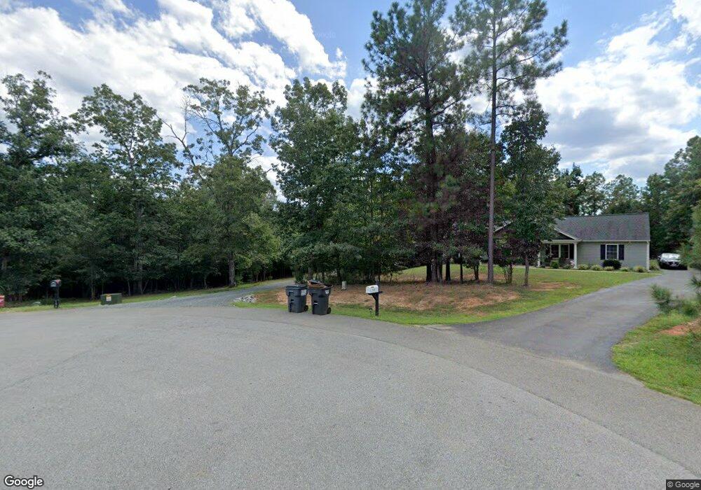
104 Mansfield Dr Madison Heights, VA 24572
Estimated Value: $404,000 - $570,515
3
Beds
3
Baths
2,738
Sq Ft
$172/Sq Ft
Est. Value
About This Home
This home is located at 104 Mansfield Dr, Madison Heights, VA 24572 and is currently estimated at $470,379, approximately $171 per square foot. 104 Mansfield Dr is a home with nearby schools including Amelon Elementary School, Monelison Middle School, and Amherst County High School.
Ownership History
Date
Name
Owned For
Owner Type
Purchase Details
Closed on
Dec 17, 2018
Sold by
Pleasant Ridge Inc
Bought by
Sprouse Jascin M and Sprouse Tabatha K
Current Estimated Value
Home Financials for this Owner
Home Financials are based on the most recent Mortgage that was taken out on this home.
Original Mortgage
$103,000
Outstanding Balance
$90,926
Interest Rate
4.9%
Mortgage Type
Unknown
Estimated Equity
$379,453
Create a Home Valuation Report for This Property
The Home Valuation Report is an in-depth analysis detailing your home's value as well as a comparison with similar homes in the area
Home Values in the Area
Average Home Value in this Area
Purchase History
| Date | Buyer | Sale Price | Title Company |
|---|---|---|---|
| Sprouse Jascin M | $47,000 | Attorney |
Source: Public Records
Mortgage History
| Date | Status | Borrower | Loan Amount |
|---|---|---|---|
| Open | Sprouse Jascin M | $103,000 |
Source: Public Records
Tax History Compared to Growth
Tax History
| Year | Tax Paid | Tax Assessment Tax Assessment Total Assessment is a certain percentage of the fair market value that is determined by local assessors to be the total taxable value of land and additions on the property. | Land | Improvement |
|---|---|---|---|---|
| 2025 | $2,325 | $381,200 | $55,200 | $326,000 |
| 2024 | $2,325 | $381,200 | $55,200 | $326,000 |
| 2023 | $2,325 | $381,200 | $55,200 | $326,000 |
| 2022 | $337 | $42,100 | $42,100 | $0 |
| 2021 | $257 | $42,100 | $42,100 | $0 |
| 2020 | $257 | $42,100 | $42,100 | $0 |
| 2019 | $257 | $42,100 | $42,100 | $0 |
| 2018 | $257 | $42,100 | $42,100 | $0 |
| 2017 | $257 | $42,100 | $42,100 | $0 |
| 2016 | $257 | $42,100 | $42,100 | $0 |
| 2015 | $118 | $42,100 | $42,100 | $0 |
| 2014 | $236 | $42,100 | $42,100 | $0 |
Source: Public Records
Map
Nearby Homes
- 172 Stoney Creek Dr
- 11 Stoney Creek Dr
- 10 Stoney Creek Dr
- 0 Izaak Walton Rd
- 1170 Izaak Walton Rd
- 15 Cambridge Ct
- 17 Cambridge Ct
- 180-Lot 2 Kentmoor Farm Rd
- Lot 1 Kentmoor Farm Rd
- 366 Kentmoor Farm Rd
- 2.11 AC Izaak Walton Rd
- 1769 Izaak Walton Rd
- 250 S Wood Duck Dr
- 0 Commonwealth Dr Unit 361760
- 255 Glade Rd
- 164 Glade Rd
- 571 Dixie Airport Rd
- 121 Crestwood Dr
- 0 Lot 10 & 11 Stoney Creek Dr Unit 345183
- 0 Monticello Ln
- 187 Stonefield Ct
- 188 Stonefield Ct
- 186 Stonefield Ct
- 0 Tanglewood Dr
- 310 Tanglewood Dr
- 167 Stonefield Ct
- 297 Tanglewood Dr
- 295 Tanglewood Dr
- 154 Fred Dr
- 151 Archie Dr
- 149 Archie Dr
- 109 Archie Dr
- 151 Stonefield Ct
- 144 Stonefield Ct
- 136 Tanglewood Dr
- 139 Stonefield Ct
- 126 Stonefield Ct
- 210 Stoney Creek Dr
- 208 Stoney Creek Dr
- 1344 Izaak Walton Rd