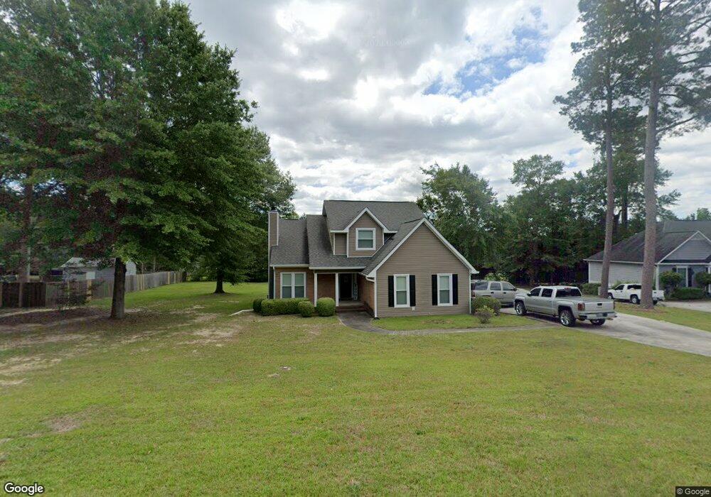
104 Mesquite Ct Macon, GA 31220
Estimated Value: $233,000 - $241,641
3
Beds
3
Baths
1,656
Sq Ft
$144/Sq Ft
Est. Value
About This Home
This home is located at 104 Mesquite Ct, Macon, GA 31220 and is currently estimated at $238,410, approximately $143 per square foot. 104 Mesquite Ct is a home located in Bibb County with nearby schools including Union Elementary School, Weaver Middle School, and Westside High School.
Ownership History
Date
Name
Owned For
Owner Type
Purchase Details
Closed on
Jun 30, 2006
Sold by
Patrick Carlos and Patrick Angelia
Bought by
Mccant Kenya L
Current Estimated Value
Home Financials for this Owner
Home Financials are based on the most recent Mortgage that was taken out on this home.
Original Mortgage
$136,000
Outstanding Balance
$79,439
Interest Rate
6.55%
Mortgage Type
New Conventional
Estimated Equity
$158,971
Purchase Details
Closed on
Dec 31, 2001
Create a Home Valuation Report for This Property
The Home Valuation Report is an in-depth analysis detailing your home's value as well as a comparison with similar homes in the area
Home Values in the Area
Average Home Value in this Area
Purchase History
| Date | Buyer | Sale Price | Title Company |
|---|---|---|---|
| Mccant Kenya L | $136,000 | Na | |
| -- | $126,000 | -- |
Source: Public Records
Mortgage History
| Date | Status | Borrower | Loan Amount |
|---|---|---|---|
| Open | Mccant Kenya L | $136,000 |
Source: Public Records
Tax History Compared to Growth
Tax History
| Year | Tax Paid | Tax Assessment Tax Assessment Total Assessment is a certain percentage of the fair market value that is determined by local assessors to be the total taxable value of land and additions on the property. | Land | Improvement |
|---|---|---|---|---|
| 2025 | $1,830 | $81,449 | $10,000 | $71,449 |
| 2024 | $1,891 | $81,449 | $10,000 | $71,449 |
| 2023 | $1,197 | $72,130 | $10,000 | $62,130 |
| 2022 | $1,926 | $62,620 | $5,566 | $57,054 |
| 2021 | $1,865 | $56,081 | $5,313 | $50,768 |
| 2020 | $1,906 | $56,081 | $5,313 | $50,768 |
| 2019 | $1,921 | $56,081 | $5,313 | $50,768 |
| 2018 | $2,817 | $50,993 | $5,060 | $45,933 |
| 2017 | $1,648 | $50,993 | $5,060 | $45,933 |
| 2016 | $1,522 | $50,993 | $5,060 | $45,933 |
| 2015 | $2,155 | $50,993 | $5,060 | $45,933 |
| 2014 | $2,476 | $57,458 | $9,108 | $48,351 |
Source: Public Records
Map
Nearby Homes
- 147 Summer Grove Ln
- 101 George Oxford Dr
- 453 Simsbury Ridge
- 325 Pond View Rd
- 329 Shady Ln
- 5441 Columbus Rd
- 104 Meadow Wood Dr
- 249 Carsons Walk Unit LOT 16
- 249 Carsons Walk
- 233 Carsons Walk
- 233 Carsons Walk Unit LOT 20
- 229 Carsons Walk Unit 21
- 229 Carsons Walk
- 191 Kinsale Dr
- 189 Kinsale Dr
- 187 Kinsale Dr
- 185 Kinsale Dr
- 182 Kinsale Dr
- 183 Kinsale Dr
- 178 Kinsale Dr
- 234 Heath Dr N
- 102 Mesquite Ct Unit 300-63
- 102 Mesquite Ct
- 227 Jordan Forest Dr S
- 231 Jordan Forest Dr S
- 223 Jordan Forest Dr S
- 223 Jordan Forest Dr S Unit 69
- 239 Jordan Forest Dr S
- 224 Heath Dr N
- 100 Mesquite Ct
- 99 Mesquite Ct
- 219 Jordan Forest Dr S
- 235 Heath Dr N
- 0 Heath Dr N Unit 7407547
- 0 Heath Dr N
- 231 Heath Dr N
- 0 Jordan Forest Dr S Unit 8357123
- 0 Jordan Forest Dr S Unit 8343508
- S Jordan Forest Dr S
- 97 Mesquite Ct