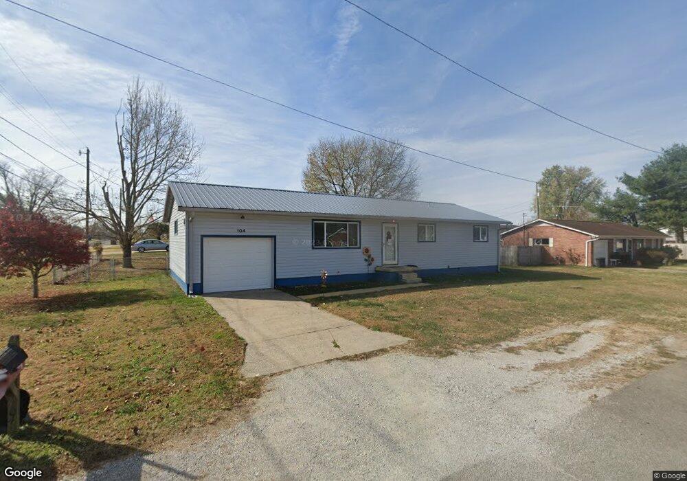
104 Michael St South Point, OH 45680
Estimated Value: $146,000 - $196,000
About This Home
This home is located at 104 Michael St, South Point, OH 45680 and is currently estimated at $172,894, approximately $138 per square foot. 104 Michael St is a home located in Lawrence County with nearby schools including South Point High School.
Ownership History
We collect this data history from publicly available records. To have your information removed, we recommend requesting removal directly through your county’s website.
Purchase Details
Purchase Details
Home Financials for this Owner
Home Financials are based on the most recent Mortgage that was taken out on this home.Purchase Details
Purchase Details
Purchase Details
Purchase Details
Home Values in the Area
Average Home Value in this Area
Purchase History
We collect this data history from publicly available records. To have your information removed, we recommend requesting removal directly through your county’s website.
| Date | Buyer | Sale Price | Title Company |
|---|---|---|---|
| -- | None Available | ||
| $84,000 | None Available | ||
| $74,000 | -- | ||
| -- | -- | ||
| $47,900 | -- | ||
| $44,000 | -- |
Mortgage History
We collect this data history from publicly available records. To have your information removed, we recommend requesting removal directly through your county’s website.
| Date | Status | Borrower | Loan Amount |
|---|---|---|---|
| Open | $12,600 | ||
| Open | $67,200 |
Tax History
We collect this data history from publicly available records. To have your information removed, we recommend requesting removal directly through your county’s website.
| Year | Tax Paid | Tax Assessment Tax Assessment Total Assessment is a certain percentage of the fair market value that is determined by local assessors to be the total taxable value of land and additions on the property. | Land | Improvement |
|---|---|---|---|---|
| 2025 | $1,231 | $39,715 | $5,327 | $34,388 |
| 2024 | -- | $33,660 | $4,520 | $29,140 |
| 2023 | $1,161 | $33,660 | $4,520 | $29,140 |
| 2022 | $1,157 | $33,660 | $4,520 | $29,140 |
| 2021 | $1,084 | $29,760 | $3,810 | $25,950 |
| 2020 | $1,098 | $29,760 | $3,810 | $25,950 |
| 2019 | $1,092 | $29,760 | $3,810 | $25,950 |
| 2018 | $1,013 | $27,050 | $3,460 | $23,590 |
| 2017 | $1,011 | $27,050 | $3,460 | $23,590 |
| 2016 | $947 | $27,050 | $3,460 | $23,590 |
| 2015 | $874 | $23,390 | $3,460 | $19,930 |
| 2014 | $873 | $23,390 | $3,460 | $19,930 |
| 2013 | $789 | $23,390 | $3,460 | $19,930 |
Map
- 216 Michael St
- 106 Franklin St
- 210 Mason St
- 113 Ashland Dr
- 116 Ashland Dr
- 210 Brubaker Dr
- 114 Ashland Dr
- 106 Garden Ct
- 113 Nelson Ave
- 607 3rd St E
- 0 Orchard Dr Unit Old Farme Subdivisio
- 406 2nd St E
- 102 Park Ave
- 100 Washington Ave
- 205 Hillview Ln
- 1916 Beech St
- 1907 Walnut St
- 295 Private Road 660 Unit 60
- 3112 Oakland Ave
- 3110 Oakland Ave
- 103 Michael St
- 101 Michael St
- 105 Michael St
- 301 Delores Ave
- 303 Delores Ave
- 506 Brubaker Dr
- 201 Michael St
- 120 Billie Joy Dr
- 102 Michael St
- 118 Billie Joy Dr
- 122 Billie Joy Dr
- 202 Michael St
- 203 Michael St
- 302 Delores Ave
- 304 Delores Ave
- 122 Billie Joy Dr
- 207 Delores Ave
- 116 Billie Joy Dr
- 504 Brubaker Dr
- 508 Brubaker Dr
Ask me questions while you tour the home.