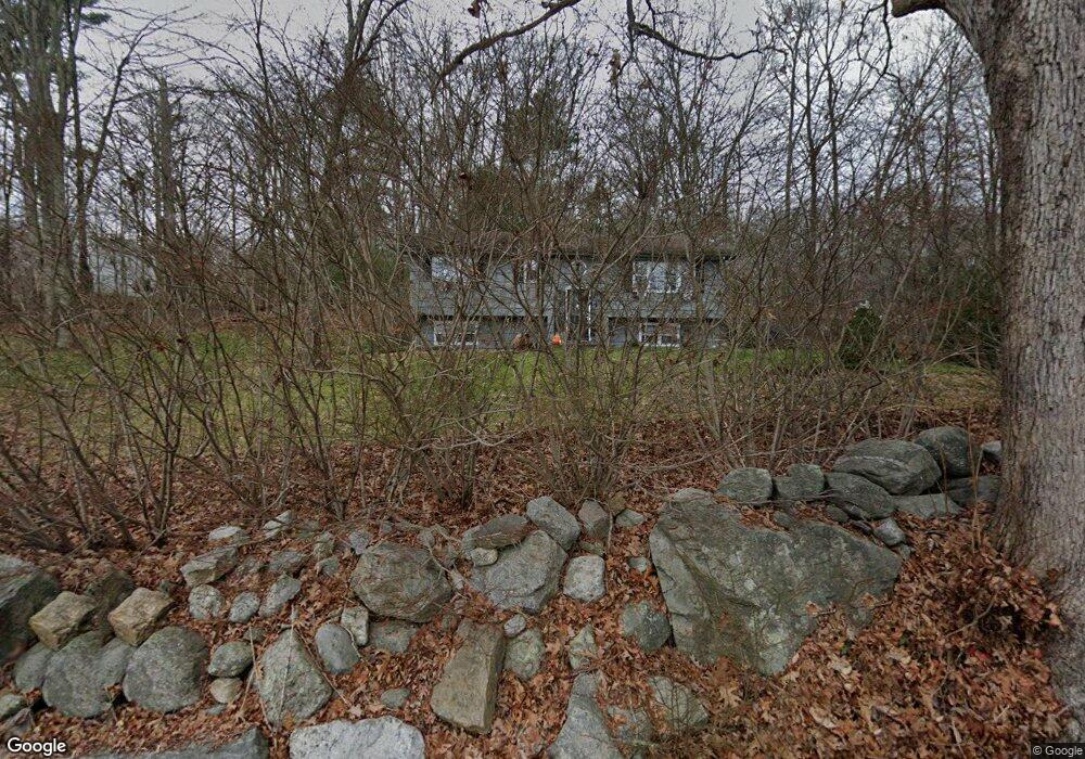
104 Mill Stream Rd Amston, CT 06231
Estimated Value: $337,000 - $361,000
3
Beds
2
Baths
1,008
Sq Ft
$350/Sq Ft
Est. Value
About This Home
This home is located at 104 Mill Stream Rd, Amston, CT 06231 and is currently estimated at $352,951, approximately $350 per square foot. 104 Mill Stream Rd is a home located in Tolland County with nearby schools including Gilead Hill School, Hebron Elementary School, and RHAM Middle School.
Ownership History
Date
Name
Owned For
Owner Type
Purchase Details
Closed on
Nov 1, 2007
Sold by
Hartshorn John
Bought by
Morse Paul and Morse Amy
Current Estimated Value
Home Financials for this Owner
Home Financials are based on the most recent Mortgage that was taken out on this home.
Original Mortgage
$191,250
Outstanding Balance
$121,317
Interest Rate
6.43%
Estimated Equity
$231,634
Purchase Details
Closed on
Jun 29, 2004
Sold by
Darrell Cheryl
Bought by
Hartshorn John
Create a Home Valuation Report for This Property
The Home Valuation Report is an in-depth analysis detailing your home's value as well as a comparison with similar homes in the area
Home Values in the Area
Average Home Value in this Area
Purchase History
| Date | Buyer | Sale Price | Title Company |
|---|---|---|---|
| Morse Paul | $212,500 | -- | |
| Hartshorn John | $208,400 | -- |
Source: Public Records
Mortgage History
| Date | Status | Borrower | Loan Amount |
|---|---|---|---|
| Open | Hartshorn John | $191,250 | |
| Previous Owner | Hartshorn John | $103,500 |
Source: Public Records
Tax History
| Year | Tax Paid | Tax Assessment Tax Assessment Total Assessment is a certain percentage of the fair market value that is determined by local assessors to be the total taxable value of land and additions on the property. | Land | Improvement |
|---|---|---|---|---|
| 2025 | $5,448 | $147,840 | $53,830 | $94,010 |
| 2024 | $5,100 | $147,840 | $53,830 | $94,010 |
| 2023 | $4,907 | $147,840 | $53,830 | $94,010 |
| 2022 | $4,687 | $147,840 | $53,830 | $94,010 |
| 2021 | $4,236 | $116,590 | $53,830 | $62,760 |
| 2020 | $4,068 | $116,590 | $53,830 | $62,760 |
| 2019 | $4,320 | $116,590 | $53,830 | $62,760 |
| 2018 | $4,365 | $116,590 | $53,830 | $62,760 |
| 2017 | $4,314 | $116,590 | $53,830 | $62,760 |
| 2016 | $4,995 | $140,140 | $91,630 | $48,510 |
| 2015 | $5,045 | $140,140 | $91,630 | $48,510 |
| 2014 | $5,010 | $140,140 | $91,630 | $48,510 |
Source: Public Records
Map
Nearby Homes
- 00 Zola Rd
- 64 Loveland Rd
- 1 Church St
- 2 Church St
- 2 Summit Rd
- 389 Route 66
- 13 Basket Shop Rd
- 0 Ryan Terrace Unit 24144446
- 0 Deepwood Dr
- 33 Northam Rd
- 47 East St
- 146 Lake Shore Dr
- 2 Lots on Deepwood Dr
- 25 Woodland Dr
- 30 Pepperbush Dr
- 161 Lake Williams Dr
- 31 Crouch Rd
- 0 Park Rd Unit 24130670
- 282 Deepwood Dr
- 76 Park Rd
- 153 Kinney Rd
- 105 Millstream Rd
- 105 Mill Stream Rd
- 97 Millstream Rd
- 96 Mill Stream Rd
- 147 Kinney Rd
- 150 Kinney Rd
- 97 Mill Stream Rd
- 90 Mill Stream Rd
- 90 Millstream Rd
- 179 Kinney Rd
- 176 Kinney Rd
- 141 Kinney Rd
- 128 Mill Stream Rd
- 128 Millstream Rd
- 84 Mill Stream Rd
- 95 Mill Stream Rd
- 185 Kinney Rd
- 135 Kinney Rd
- 186 Kinney Rd
Your Personal Tour Guide
Ask me questions while you tour the home.