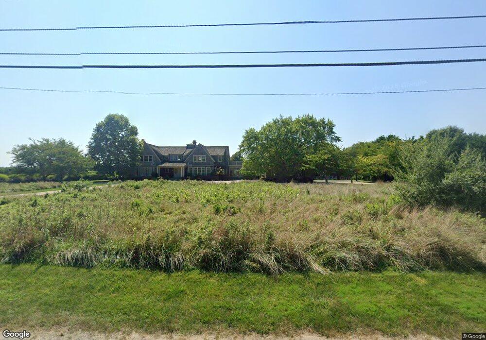
104 Mohawk Ave Water Mill, NY 11976
Estimated Value: $6,991,000 - $9,917,000
4
Beds
--
Bath
9,114
Sq Ft
$969/Sq Ft
Est. Value
About This Home
This home is located at 104 Mohawk Ave, Water Mill, NY 11976 and is currently estimated at $8,832,006, approximately $969 per square foot. 104 Mohawk Ave is a home located in Suffolk County with nearby schools including Southampton Elementary School, Southampton Intermediate School, and Southampton High School.
Ownership History
Date
Name
Owned For
Owner Type
Purchase Details
Closed on
Feb 12, 2021
Sold by
Lesser David H
Bought by
104 Mohawk Llc
Current Estimated Value
Home Financials for this Owner
Home Financials are based on the most recent Mortgage that was taken out on this home.
Original Mortgage
$1,500,000
Outstanding Balance
$1,338,520
Interest Rate
2.7%
Mortgage Type
Credit Line Revolving
Estimated Equity
$7,493,486
Purchase Details
Closed on
Oct 28, 2003
Sold by
Maynard John and Maynard Walter
Bought by
Lesser David
Create a Home Valuation Report for This Property
The Home Valuation Report is an in-depth analysis detailing your home's value as well as a comparison with similar homes in the area
Home Values in the Area
Average Home Value in this Area
Purchase History
| Date | Buyer | Sale Price | Title Company |
|---|---|---|---|
| 104 Mohawk Llc | -- | None Available | |
| 104 Mohawk Llc | -- | None Available | |
| Lesser David | $1,533,333 | Commonwealth Title | |
| Lesser David | $1,533,333 | Commonwealth Title |
Source: Public Records
Mortgage History
| Date | Status | Borrower | Loan Amount |
|---|---|---|---|
| Open | 104 Mohawk Llc | $1,500,000 | |
| Closed | 104 Mohawk Llc | $1,500,000 | |
| Closed | 104 Mohawk Llc | $1,035,256 |
Source: Public Records
Tax History
| Year | Tax Paid | Tax Assessment Tax Assessment Total Assessment is a certain percentage of the fair market value that is determined by local assessors to be the total taxable value of land and additions on the property. | Land | Improvement |
|---|---|---|---|---|
| 2024 | $28,616 | $6,397,500 | $3,239,300 | $3,158,200 |
| 2023 | $28,616 | $6,397,500 | $3,239,300 | $3,158,200 |
| 2022 | $31,769 | $6,802,300 | $3,644,100 | $3,158,200 |
| 2021 | $31,769 | $6,790,400 | $3,644,100 | $3,146,300 |
| 2020 | $27,352 | $6,790,400 | $3,644,100 | $3,146,300 |
| 2019 | $27,352 | $0 | $0 | $0 |
| 2018 | -- | $6,790,200 | $3,644,100 | $3,146,100 |
| 2017 | $29,560 | $6,790,200 | $3,644,100 | $3,146,100 |
| 2016 | $30,666 | $6,790,200 | $3,644,100 | $3,146,100 |
| 2015 | -- | $6,790,200 | $3,644,100 | $3,146,100 |
| 2014 | -- | $6,790,200 | $3,644,100 | $3,146,100 |
Source: Public Records
Map
Nearby Homes
- 1 Spruce Ct
- 322 Rose Hill Rd
- 172 Mill Pond Ln
- 200 Rose Hill Rd
- 54 Cobb Isle Rd
- 70 Cobb Rd
- 70 Cobb Rd
- 71 Cobb Ln
- 158 Cobb Rd
- 14 Rose Hill Rd
- 212 Upper 7 Ponds Rd
- 32 Rosewood Ln
- 89 Cobb Rd
- 975 Flying Point Rd
- 904 Cobb Rd W
- 240 Head of Pond Rd
- 7 Cove Point Ct Unit 17
- 202 Head of Pond Rd
- 204 Head of Pond Rd
- 112 Upper 7 Ponds Rd
Your Personal Tour Guide
Ask me questions while you tour the home.