104 N Carter St Colfax, IN 46035
Estimated Value: $118,210 - $166,000
2
Beds
1
Bath
1,300
Sq Ft
$111/Sq Ft
Est. Value
About This Home
This home is located at 104 N Carter St, Colfax, IN 46035 and is currently estimated at $144,303, approximately $111 per square foot. 104 N Carter St is a home located in Clinton County with nearby schools including Clinton Prairie Elementary School and Clinton Prairie Junior/Senior High School.
Ownership History
Date
Name
Owned For
Owner Type
Purchase Details
Closed on
May 5, 2010
Sold by
Weinbrecht Vera
Bought by
Ferguson Millard W
Current Estimated Value
Home Financials for this Owner
Home Financials are based on the most recent Mortgage that was taken out on this home.
Original Mortgage
$25,000
Interest Rate
5.3%
Mortgage Type
New Conventional
Purchase Details
Closed on
Feb 7, 2006
Sold by
Gmac Mortgage Corp
Bought by
Hibbard Robert P and Hibbard Deborah L
Purchase Details
Closed on
Aug 19, 2005
Sold by
Mcguire Dan J and Mcguire Susan J
Bought by
Gmac Mortgage Corp
Create a Home Valuation Report for This Property
The Home Valuation Report is an in-depth analysis detailing your home's value as well as a comparison with similar homes in the area
Home Values in the Area
Average Home Value in this Area
Purchase History
| Date | Buyer | Sale Price | Title Company |
|---|---|---|---|
| Ferguson Millard W | -- | None Available | |
| Hibbard Robert P | -- | Statewide Title Company Inc | |
| Gmac Mortgage Corp | $35,357 | None Available |
Source: Public Records
Mortgage History
| Date | Status | Borrower | Loan Amount |
|---|---|---|---|
| Previous Owner | Ferguson Millard W | $25,000 |
Source: Public Records
Tax History Compared to Growth
Tax History
| Year | Tax Paid | Tax Assessment Tax Assessment Total Assessment is a certain percentage of the fair market value that is determined by local assessors to be the total taxable value of land and additions on the property. | Land | Improvement |
|---|---|---|---|---|
| 2024 | $220 | $80,500 | $8,400 | $72,100 |
| 2023 | $0 | $80,500 | $8,400 | $72,100 |
| 2022 | $14 | $66,300 | $8,400 | $57,900 |
| 2021 | $0 | $44,100 | $8,400 | $35,700 |
| 2020 | $0 | $42,100 | $8,400 | $33,700 |
| 2019 | $0 | $42,100 | $8,400 | $33,700 |
| 2018 | $0 | $42,100 | $8,400 | $33,700 |
| 2017 | $0 | $42,000 | $8,400 | $33,600 |
| 2016 | -- | $38,200 | $8,700 | $29,500 |
| 2014 | -- | $34,100 | $8,700 | $25,400 |
Source: Public Records
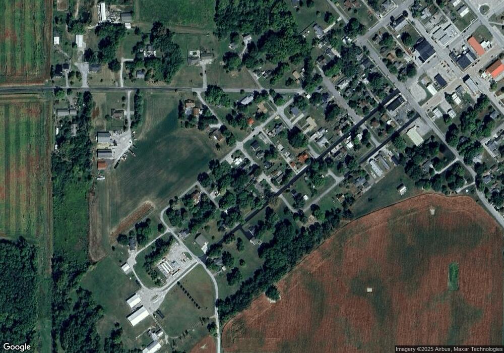
Map
Nearby Homes
- 108 N Carter St
- 404 W Franklin St
- 304 W Jefferson St
- 208 E Midway St
- 7001 N 1075 W
- 7706 N 1000 E
- 7279 N 950 E
- 7018 S County Road 430 W
- 9322 Main St
- 11816 Orange St
- 5778 W County Road 300 S
- 11818 Madison St
- Juniper Plan at Westfall Place
- Chestnut Plan at Westfall Place
- Walnut Plan at Westfall Place
- Ironwood Plan at Westfall Place
- Empress Plan at Westfall Place
- Ashton Plan at Westfall Place
- Spruce Plan at Westfall Place
- Palmetto Plan at Westfall Place
- 106 N Carter St
- 100 N Carter St
- 602 W Franklin St
- 109 N Weaver St
- 107 N Carter St
- 104 S Carter St
- 504 W Franklin St
- 202 N Carter St
- 509 W Franklin St
- 504 W Jefferson St
- 108 N Mitchell St
- 500 W Franklin St
- 502 W Jefferson St
- 100 N Weaver St
- 108 N Weaver St
- 605 W Franklin St
- 500 W Jefferson St
- 105 N Armstrong St
- 501 W Linden St
- 704 W Franklin St